
For any business that relies on delivering services or parts to customers effectively, location intelligence is a must-have capability.
Warner de Gooijer
Leads geospatial strategy and digital twin innovation at Cisco
SUPPLY CHAIN
As the world clamors for all things AI, companies like Cisco are installing and servicing the equipment powering everything from large language models to traditional computing.
Cisco’s products have become so integral to data centers and server rooms that millions of companies across 130 countries now rely on the company’s technology. To keep those facilities operating at peak performance, Cisco delivers high-priority service across a vast geographic area. Behind the scenes, its parts depots and service technicians rely on a map-based digital twin, built with geographic information system (GIS) technology.
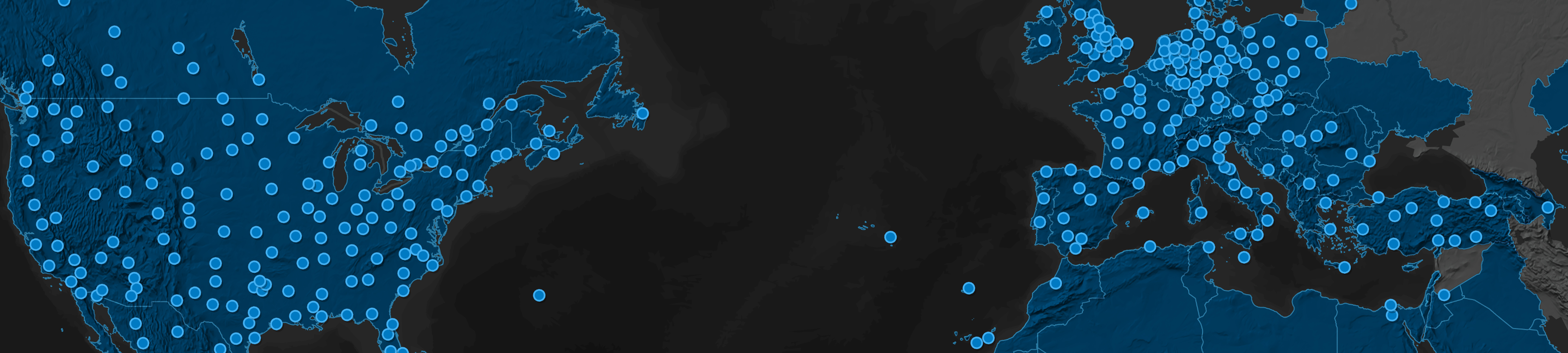
 A global map-based view of supply chain operations helps teams understand risk, coverage, and dependencies across regions.
Cisco’s service network is powered by local vendors who fulfill a range of service-level commitments for Cisco customers. These technicians—adept at repairing and replacing everything from data center routers to video conferencing systems—resolve disruptions within agreed-upon parameters, often within two hours.
To coordinate more than 800 spare part depots and thousands of engineers, Cisco has mapped all the components of its service network, creating a GIS-based digital twin known as Cisco Spatial Intelligence.
“With this geospatial platform, we get very accurate data,” says Abbey McDougald, manager of network design and sustainability in Cisco’s supply chain services and logistics division. “I know where my customers are, where my warehouses are, and where my inventory is.”
When a customer submits a return material authorization (RMA), Cisco Spatial Intelligence calculates which of the hundreds of warehouses is positioned to handle the job. GIS technology sorts through a matrix of factors, including which depots have the needed part, whether certain trade restrictions or tax jurisdictions apply, how quickly service must be completed, and how far the technician must travel to reach the customer.
With customers across the globe, Cisco’s intelligent maps work around the clock, automating complex assignments and empowering the company to handle hundreds of thousands of RMAs annually.
For any business that relies on delivering services or parts to customers effectively, location intelligence is a must-have capability.
When a customer data center or conference room needs service, Cisco Spatial Intelligence (CSI) gives technicians the speed and efficiency needed to answer the call. Once service is delivered, CSI gives executives and analysts the metrics they need to assess the network’s performance.
Decision-makers have a unified, map-based view of the global services network, says Warner de Gooijer, who spearheaded the strategy and led the development of the system he now oversees.
“On-time delivery metrics are currently in spreadsheets, but that doesn’t give you the spatial insight into how we’re performing in Rome versus Naples versus Turin versus Milan,” he explains. CSI will soon show those metrics on a map, allowing Cisco managers and executives to compare service areas at a glance.
The company also plans to integrate generative AI into Cisco Spatial Intelligence.
“With AI, voice and text commands make it much easier to find the information you’re looking for,” de Gooijer says. “You just ask the system, ‘Show me customer X and show me the depots that support customer X. Map the locations where I have higher risk versus lower risk from a delivery perspective.’”
Interactions like this will drive further equalization of the spatial platform and enable more managers and analysts to quickly find the data they need. With a GIS-powered digital twin at their fingertips, Cisco’s service team has the tools to ensure uptime for customers—exactly when and where it’s needed.