On demand webinar - Connecting CAD, BIM, and GIS
CAD, BIM, and GIS—Interoperable at last
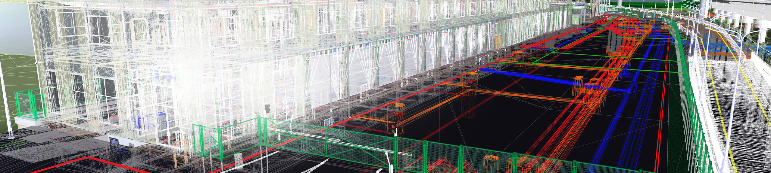
Leading engineering firms need to bring CAD, BIM, and GIS tools together to deliver better projects, offer additional services, and prepare themselves for new ways of working. They are required to combine and analyze information from these various sources, ensuring the success of the project.
In this webinar, Esri and Autodesk experts share the best practices in bringing together the worlds of engineering excellence and location intelligence. What you thought about working in CAD, BIM, and GIS has changed—the barriers and silos are going away!
You will learn about the following:
- Using Esri's ArcGIS with Autodesk's Civil 3D to make better planning decisions
- Best practices using Civil 3D data in ArcGIS to inform design and engineering decisions
- Tracing, work order management, and life cycle management enabled by GIS and BIM
Access on demand webinar
'Connecting CAD, BIM, and GIS' webinar recording