
Conservation Solutions Partner Showcase
Advancing conservation innovation and effectiveness through partners
Access the recording, available now
Advancing conservation innovation and effectiveness through partners
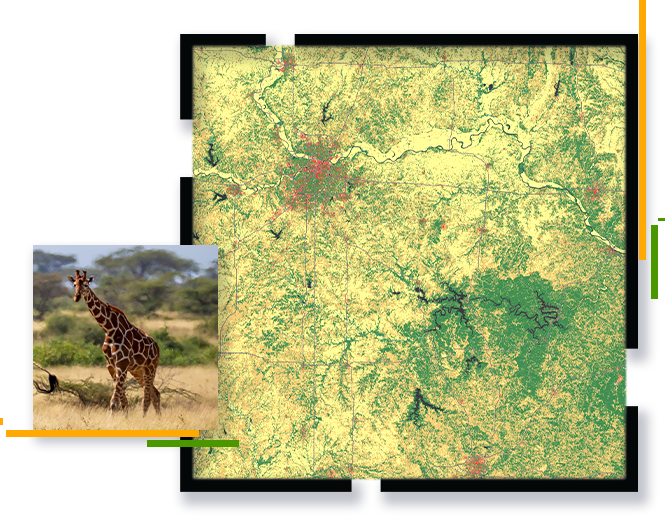
ArcGIS conservation solutions offer effective management toolsets for managers of protected areas.
Watch this webinar to hear from three leading Esri partners who are addressing global conservation challenges by extending ArcGIS Solutions with advanced monitoring capabilities, visualization, and engagement hubs.
Agenda
- Introduction & Esri Update
- SkyTec - “Remote Monitoring of Protected Areas”
- MAPSS - “IoT Integration for Managing Protected Areas”
- Blue Raster – “Engaging Communities for Conservation Impact”
- Closing Final Remarks/Questions
Each partner presentation will be 15 minutes of content followed by 5 minutes of live Q&A.