
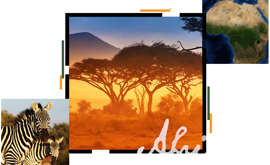
Geospatial Infrastructure for Conservation
Following more than 50 years of continual software development, ArcGIS is the world's most comprehensive toolset for conservation professionals. Advanced conservation science reveals insights into complex environmental challenges to improve our understanding of the interdependencies of native species and human activity and advises strategies to mitigate threats presented by climate change and unmanaged development. ArcGIS equips conservation professionals with maps and apps optimized for common conservation workflows, underpinned with a vast collection of open and analysis-ready geospatial data to augment and enrich local and global biodiversity conservation efforts.
