Gain Insight through Spatial Data Science and Geovisualization
An on-demand webinar
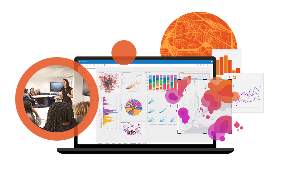
Incorporate geovisualization analytics into your courses
Data science skills are in high demand. Spatial data science gives students unique skills and advantages by incorporating location into traditional data science methods. In this recorded webinar, we will show you how to incorporate geovisualization analytics into your courses and equip your students to solve a variety of problems with spatial data science.
Watch the recording to
- Understand the value of spatial data for enriching data science.
- Hear from your peers who teach spatial data science.
- Get resources for teaching, including hands-on exercises and success stories.