
Virtual Reality with GIS in Classrooms
Education webinar
Access the recording—available now
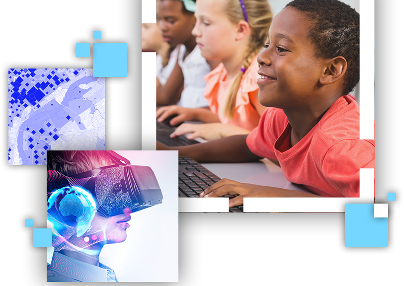
Bring virtual reality with GIS to a local classroom
Virtual reality (VR) and the metaverse are on the precipice of reshaping society—and education. Join Esri as we discuss and demonstrate VR tools and data for use with GIS in your classrooms. We will focus on basic use and create workflows that support science and social studies educators. All software used is included in the no-cost ArcGIS for Schools Bundle.
Watch this webinar to learn about the following:
- How to discover VR content in the 360 VR Gallery
- How to create VR content in a web browser
- Ideas for teaching with GIS-VR content