"A common operating picture for emergency response was a game changer. It makes life in the field easier, and the office can see live results. After that, management was all on board!"
case study
Common Operating Picture Speeds Power Restoration after Storms
Mississippi's Cooperative Energy generates and transmits power for 12 electric cooperatives. They work together to serve safe and reliable electricity to 432,000 members. These member owners are at the heart of everything Cooperative Energy does, including their response to storms such as hurricanes and tornadoes.
Challenge
Severe weather events challenge Mississippi and adversely impact the electric utility system along the Gulf Coast and inland. When a storm hits, it is vital to assess the impacts and allocate resources to repair damage and restore service as quickly as possible safely. Mobile workers respond to calls and alarms. They investigate potential trouble and determine the appropriate follow-up actions.
During adverse conditions, this damage assessment process consumed precious time. Communicating and prioritizing the resultant information added additional steps. Often, delays and miscommunication resulted. For example, texting damage photos between key individuals left some stakeholders out of the communication loop. Cooperative Energy wanted a way to speed restoration and form a common operating picture for all utility staff.

Electric & Gas
Challenge
Cooperative Energy wanted a way to speed restoration and form a common operating picture for all utility staff.
Solution
ArcGIS QuickCapture conveniently sends storm damage observations back to the office in real time.
Result
Real-time data and enterprise-wide visibility provided immediate benefits.
Solution
The utility maintains its asset system of record in ArcGIS Enterprise running on Amazon Web Services. Now, ArcGIS QuickCapture conveniently sends storm damage observations back to the office in real time. The app eliminates the time spent manually processing handwritten notes or transcribing text messages. By readily attaching photos with the simple big button app, field crews immediately communicate the needs and urgency of each site they visit. The resultant information is directly visible throughout the enterprise.
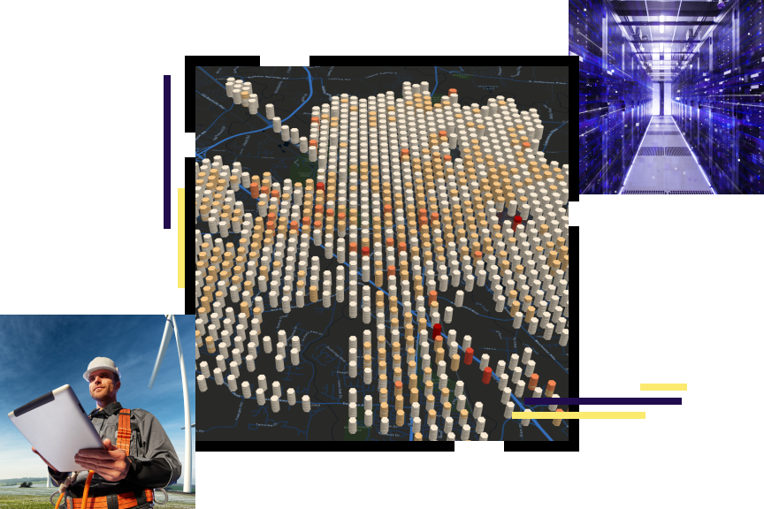
Cooperative Energy displays the collected information on ArcGIS Dashboards. Consequently, it is instantly visible to office personnel, management in the storm center, and all field crews. The addition of real-time vehicle locations and weather data further aid the utility in its planning and restoration efforts. ArcGIS GeoEvent Server tracks vehicle locations in real time. In doing so, it promptly alerts employees if dangerous weather, such as a tornado, approaches their current position.
All crew members now have an iPad to help digitally transform their work. They see the same dashboards used in the storm center, allowing them to work safely and effectively. While working to restore service, crew supervisors utilize ArcGIS Field Maps to access up-to-date mapped information remotely.


Results
Real-time data and enterprise-wide visibility provided an immediate benefit to Cooperative Energy. The resultant common operating picture drove improvements in each National Incident Management System (NIMS) component. This is particularly evident in communication and information management.
With preconfigured apps and dashboards, staff quickly stand up a productive storm center and respond to prioritized needs. As a result, the utility minimizes outage time for its members. Less paper work and faster communication increased the efficiency and effectiveness of restoration efforts, including those of mutual aid workers. Cutting out the guesswork eliminated many unnecessary trips between sites.
Work crews embraced the solution when they saw how it made their work easier and better. By increasing awareness of the entire operating picture, staff improved safety for work crews and the public.