Data collection
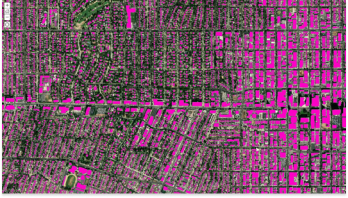
Gather and validate diverse geospatial data using remote sensing, AI, and field verifications to enhance your agency’s data.

A discounted program with software, training, and content for national geospatial authorities

National mapping agencies like Ordnance Survey are modernizing their geospatial strategies and workflows while remaining effective and cost-efficient.

Gather and validate diverse geospatial data using remote sensing, AI, and field verifications to enhance your agency’s data.
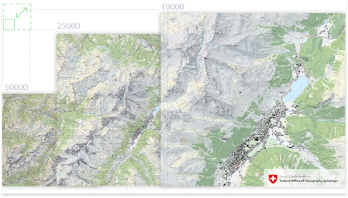
Deliver up-to-date, authoritative geospatial data your stakeholders and customers can trust.
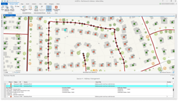
Utilize GIS automation to maintain data integrity, expedite map and data creation, and ensure consistent quality.
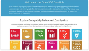
Share authoritative geospatial data to enable informed decision-making and foster collaboration through apps and services.
With this program, national mapping organizations get access to tools, apps, and services that enable location-based strategies.
Discover related products and resources at Esri that can support your work.
If you are interested in finding out if you and your organization qualify, fill out the form to reach an Esri representative for more information.