Remote sensing
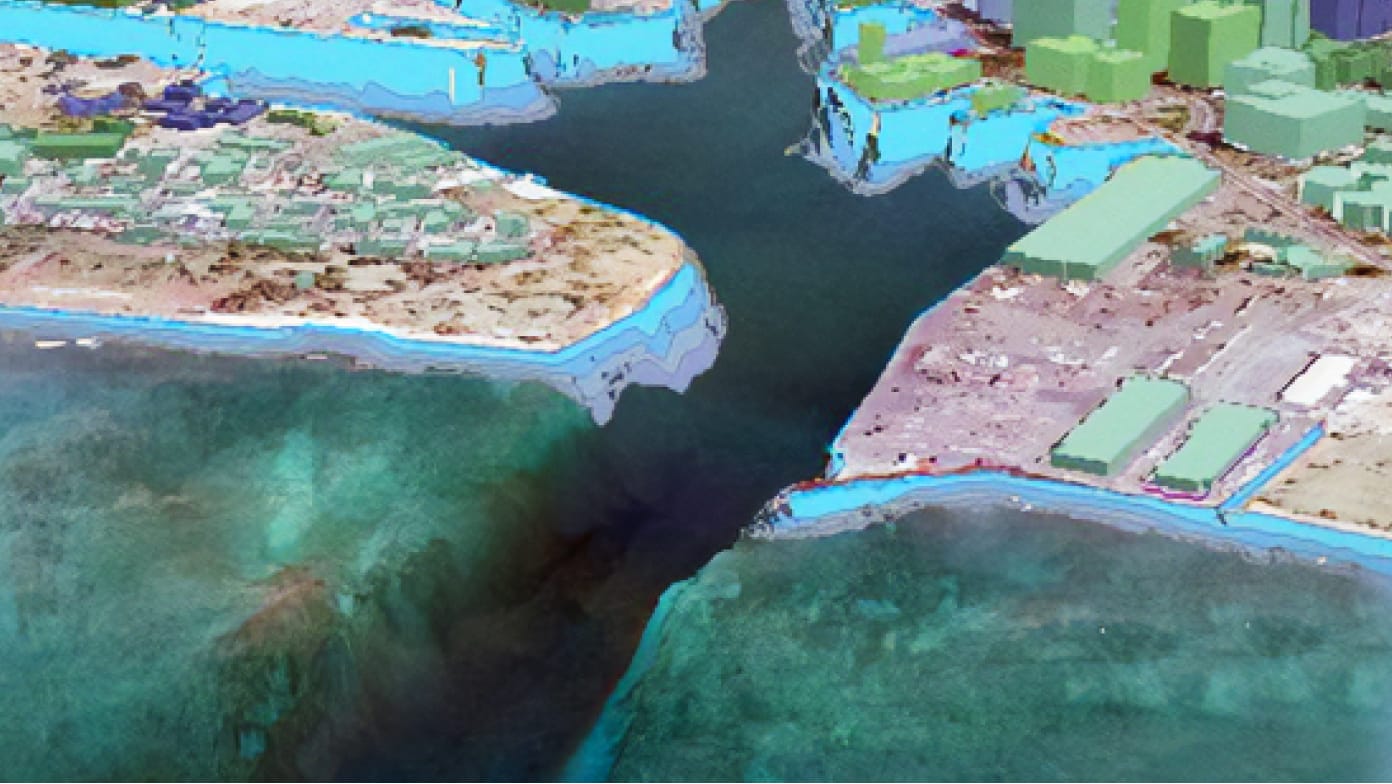
Enhance understanding of the marine environment by utilizing ocean and coastal data through hydrographic surveys and remote sensing.

A discounted program with software, training, and content for national maritime and hydrographic agencies

Enhance understanding of the marine environment by utilizing ocean and coastal data through hydrographic surveys and remote sensing.
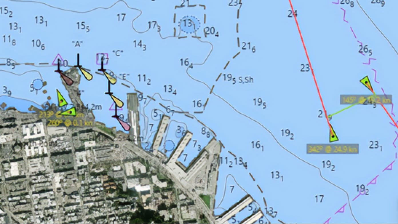
Modernize maritime charting through data-driven production to ensure the safety of life at sea with timely, reliable, authoritative data.
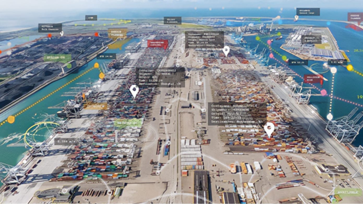
Contribute authoritative hydrospatial information to an MSDI to drive national economic prosperity and support blue economy success.
With the program, maritime agencies are provided access to tools, apps, and services to help them further implement a location-based strategy that supports advanced hydrographic and maritime initiatives.
Discover related products and resources at Esri that can support your work.
If you are interested in finding out if you and your organization qualify, fill out the form to reach one of Esri’s representatives for more information.