
Integrating Imagery and Remote Sensing into ArcGIS
Renewables webinar recording and summary
Use imagery to disseminate meaningful information and drive decision-making
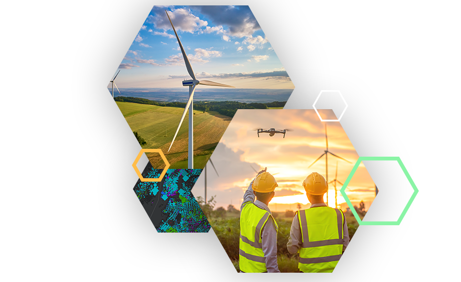
Renewable energy organizations use imagery daily for visualization and reference purposes, but visualization is only one of the many ways that imagery can deliver value throughout a project’s life cycle. Our latest webinar focused on how imagery can provide greater insight and influence better decision-making.
Key Takeaways
Content Discovery
Authoritative, ready-to-use imagery layers and apps are available to enrich map visualization and help bring greater insight to your analysis.
Imagery Throughout the Project Life Cycle
- Early state development
- Prospecting
- Suitability
- Site assessment
- Planning and construction
- Site prep
- Construction monitoring (equipment location/status)
- Environmental assessment (stormwater runoff impact)
- Operations and maintenance
- Remote inspections
- Oriented imagery
- Activity monitoring
Imagery Throughout Your Organization
ArcGIS is a comprehensive imagery system that includes image and raster analysis tools to help provide insights into your data. Share those insights with team members, management, and contractors all from a simple web browser.