
The Geographic Approach to Emergency Communications
An emergency communications ebook
GIS enables effective response before, during, and after emergency calls.
Powering the next generation of emergency communications
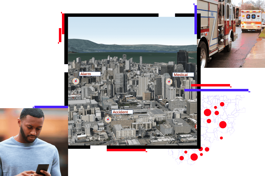
Geographic information system (GIS) technology is integral to modern emergency communications. It powers Next-Generation 9-1-1 (NG911) and helps telecommunicators and first responders provide effective emergency response. ArcGIS and Esri partner solutions support NG911, equipping public safety professionals with the tools they need to do their work.
With this ebook, you will learn how GIS:
- Improves location validation and emergency call routing
- Enhances situational awareness and collaboration
- Supports first responders in delivering the best possible response
Access the ebook
Fill out the form to start learning how GIS supports emergency communications.