Incident Management and Disaster Preparedness Webinar Series
Sign up to access the webinar series and related resources
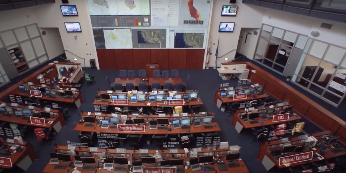
Learn how IMT personnel use GIS during emergencies
Around the world, incident management team (IMT) personnel rely on spatial data to improve their response capabilities. Gathering reliable, actionable information that all personnel can use anytime and anywhere is key to understanding, planning, and responding to incidents. Through the power of geographic information system (GIS) technology, organizations can now adopt a smarter, more integrative approach to emergency response.
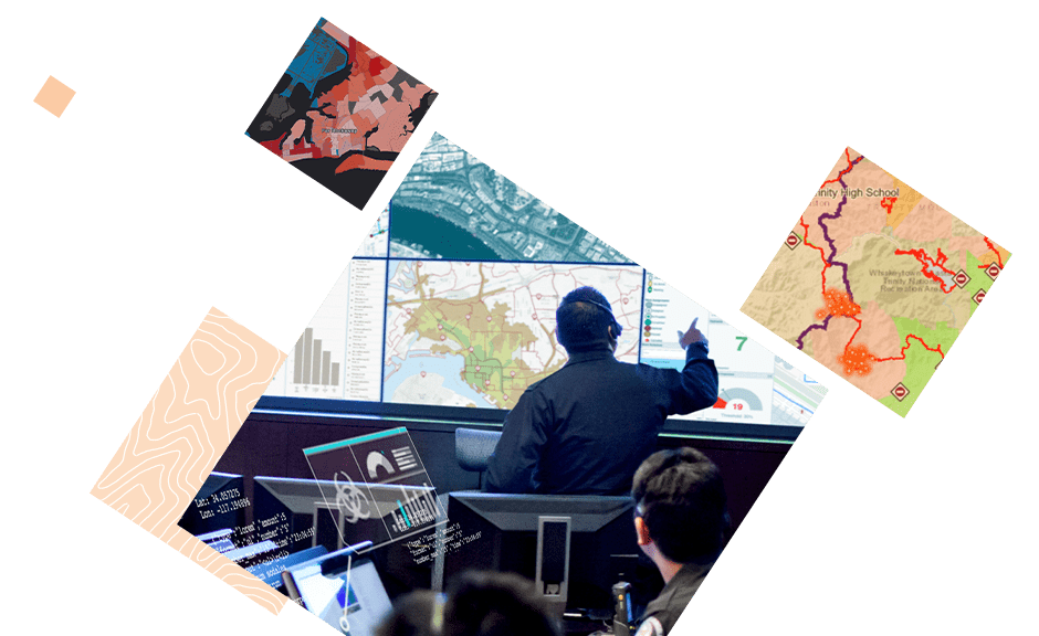
Sign up to access this four-part educational webinar series and additional resources for incident management team personnel, provided by Esri's public safety and subject matter experts. Learn how IMTs and emergency responders can collect, visualize, and analyze data with GIS in real time, enhancing collaboration, operational efficiency, and decision-making.