
Bridging the Digital Divide with ArcGIS
A technical paper on support for next generation broadband networks
Discover how ArcGIS can help connect communities across the nation
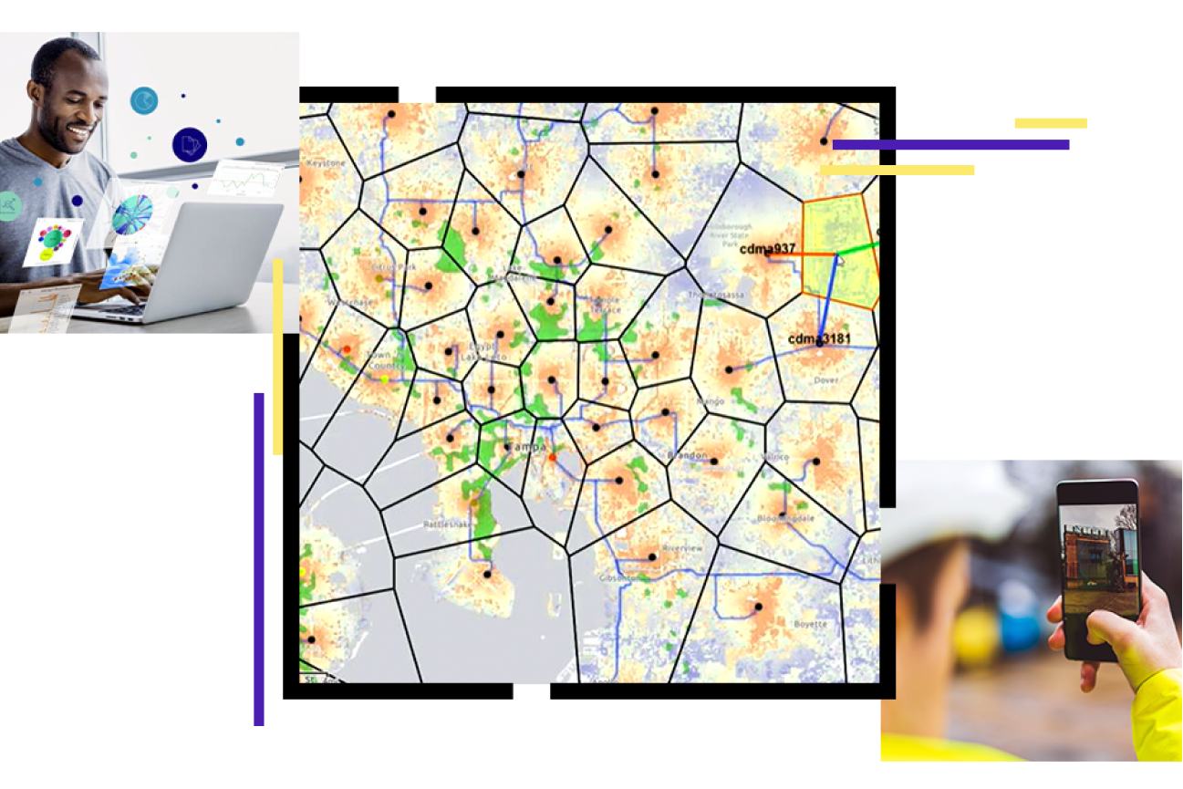
Having access to a reliable communication network is essential, yet over 35 percent of rural Americans lack access to broadband at minimally accepted speeds. That’s about to change. Your team is here to take on the challenge of building networks that bridge the digital divide. With ArcGIS, your team has access to a scalable, agile, and modern system of geospatial tools and resources to help get the job done.
“Bridging the Digital Divide with ArcGIS” gives an overview of how Esri’s geographic information system (GIS) technology can help build and support next generation broadband networks. Download the technical paper to learn how ArcGIS can provide support at every phase of broadband deployment—from planning and engineering through operations and fulfillment.