Arc Hydro in Action
A Four-Part Webinar Series
This webinar series that explores Arc Hydro's capabilities and innovative use cases.
Water Resources Webinar | Part 1
Arc Hydro in ArcGIS Pro
Location: Virtual
Cost: Free
Language: English
In this first webinar of the series Dr. Dean Djokic, Water Resources Practice expert at Esri, covers the most common and important workflows for terrain processing, watershed and stream delineation, and characterization and integration with hydrologic and hydraulic models.
Attendees new to Arc Hydro discover what it is (data models, tools, workflows and the community around it), how Arc Hydro fits in “hydro”, the principles of GIS for hydrologic and hydraulic (H&H) modeling, the foundation for analyses in a hydro conditioned digital elevation model, and basic watershed and steam delineation workflows.
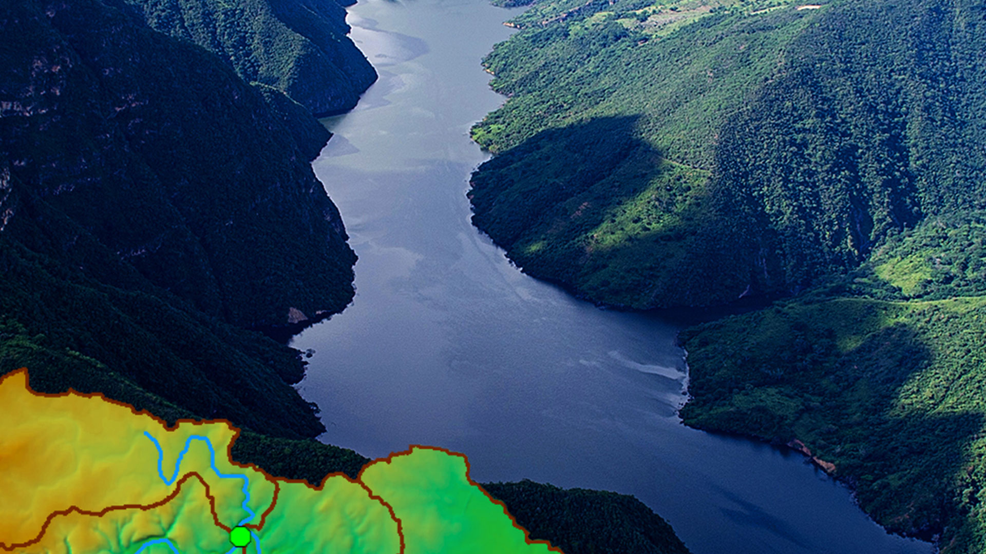
Learn more about visualizing and analyzing topographic, hydrographic, and hydrologic data for tasks such as assessing water quality, estimating water availability, flood prevention, understanding the natural environment, and managing water resources.
GIS users learn how to use Arc Hydro in ArcGIS Pro and the differences between Arc Hydro in ArcGIS Pro and ArcMap.
Watch this webinar to:
- Build your skills and understanding.
- Understand what Arc Hydro is and is not.
- Differences between GIS and H&H modeling.
- Why one DEM does not fit all hydro analyses.
- See Arc Hydro in action.
Water Resources Webinar | Part 2
Arc Hydro: Flooding and Forecasting
Location: Virtual
Cost: Free
Language: English
In this webinar Dr. Dean Djokic, Water Resources Practice expert at Esri, discusses simplified techniques for floodplain modeling and delineation. This includes approaches based on pure topographic analysis as well as integration of hydraulic modeling results, and everything in between.
Learn about hydraulic modeling in GIS context and discover a range of Arc Hydro hydraulic capabilities including tools for Height Above Nearest Drainage (HAND), integration with National Water Model for forecasting and retrospect analysis, and inclusion of flood forecast information from United States and Global forecast models in flood impact analysis applications.
Watch this webinar to:
- Understand benefits of GIS for floodplain modeling.
- Discuss GIS as foundation for integrated floodplain analysis – from fieldwork to hydraulic modeling to flood impact analysis.
- Identify the difference between engineering level of analysis and sensitivity analysis – when “good enough” is good enough.
Water Resources Webinar | Part 3
Arc Hydro: Hydrology and Hillslope
Location: Virtual
Cost: Free
Language: English
In this webinar Esri experts and special guests Dr. Dana Lapides from Wisconsin Department of Natural Resources and Anneliese Sytsma from University of California, Berkley discuss hydrologic modeling in GIS context. They cover typical hydrological processing workflows such as terrain preprocessing, landscape partitioning, characterization, node-link schema generation, and hydrologic modeling export (eg. export to HEC-HMS).
To fill or not to fill? Learn about advanced topics in DEM hydro conditioning and hydrologic model integration.
The presentation also introduces the Arc Hydro new Critical Duration Tools to partition hillslopes, identify hillslope width functions, and implement a simple overland flow model that accounts for hillslope curvature.
Watch this webinar to:
- Learn about hydrological processing workflows
- Understand differences between integrated and loosely coupled hydrologic modeling – when/why.
- Discuss hydro-conditioning – what to do on topographic and what on hydrologic side of processing.
- Hear about concepts in hillslope analyses.
- Discover new tools and Arc Hydro hydrology capabilities
Water Resources Webinar | Part 4
Arc Hydro: Support for Hydrologic and Hydraulic Modeling
Location: Virtual
Cost: Free
Language: English
When performing advanced hydrologic and hydraulic analysis industry professionals often use established scientific and engineering models. In this webinar Dr. Dean Djokic, Water Resources Practice expert at Esri, explores GIS for integrated hydrologic and hydraulic (H&H) modeling, the pros and cons of building your own model vs. using an existing one, the differences in GIS operations for H&H model development vs. model execution, and GIS as the archive for model scenarios.
Attendees discover how Arc Hydro tools help prepare watershed and stream data to support different hydrologic and hydraulic models and how the results from these models can be brought back into the ArcGIS system for visualization and further consequence analysis. HEC-HMS, HEC-RAS, ICPR4 are used to demonstrate these principals.
Watch this webinar to:
- Learn what GIS can do for integrated H&H modeling.
- Understand the reality of GIS “superbuttons” – why one size does not fit all.
- Have a holistic view of GIS use – why GIS is not just model pre- and post-processor.
Arc Hydro—GIS for Water Resources
Esri's Arc Hydro consists of a data model, toolset, and workflows developed over the years to support specific GIS implementations in water resources.