Survey123 has been a marked improvement in the way we gather information for our asset management or risk assessment projects, improving the efficiency of the data entry and reporting processes and thus allowing us to deliver these projects in a more timely and cost-competitive manner for our clients.
user story
Geotechnical Testing Company Uses Survey Tool to Digitize Field Data Inspections
User
GHD Geotechnics Team, Sydney, Australia
Challenge
Prevent railway rockfall hazards
Solution
Use ArcGIS Survey123 for field data collection and a custom Python script for reporting
Results
Efficient field data capture, significant time saving in data entry and reporting, user-friendly and easily repeatable method
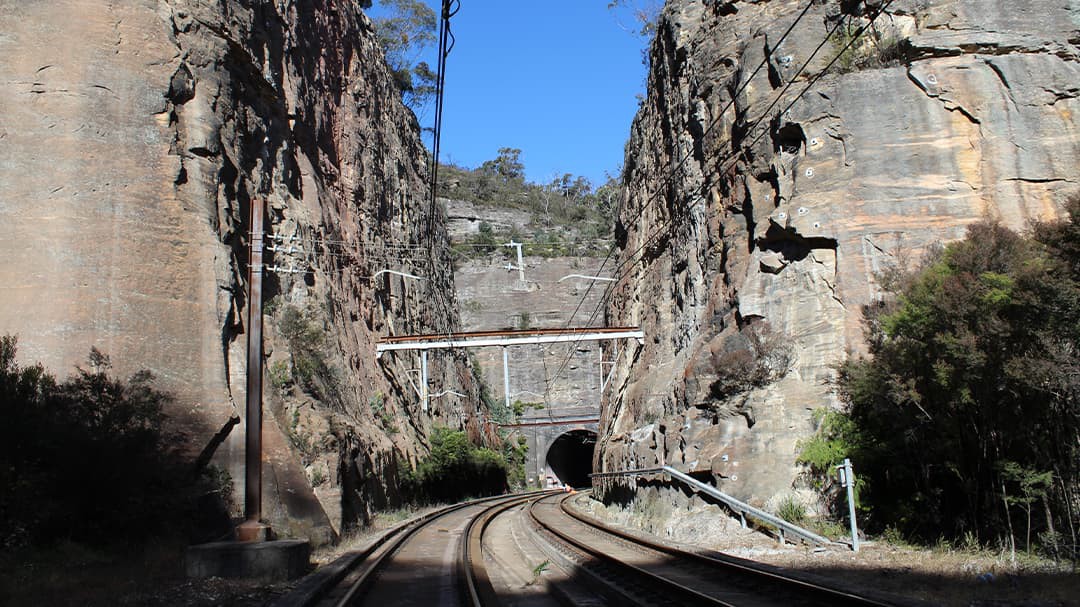
The Main Western Line is a railway that runs through the Blue Mountains from Central Station in Sydney, Australia, to western New South Wales and beyond. The line carries passengers and freight trains into Sydney from as far west as Perth, on the opposite side of the Australian continent. At various locations in the Blue Mountains, the line cuts into sandstone cliffs, with sections at Zig Zag, Lapstone, and Glenbrook, running alongside subvertical cliff faces up to 60 meters high.
GHD's Geotechnics team was tasked to help protect the railway and keep passengers safe. The natural cliff faces and sandstone cuttings adjacent to the railway line present a rockfall hazard to the operation of the line. Even minor rockfall events can derail trains and close the line for several hours, creating a rail traffic backlog for both commuters and freight.
Challenge
To minimize the risk of rockfall events along the Main Western Line, the cuttings require an assessment at least twice per year to identify remediation actions. GHD's Geotechnics team was tasked with completing assessments of the cuttings for three years beginning in May 2019. Previous inspections had identified over 500 individual rockfall hazards across all sites. The first inspection conducted by GHD had to incorporate an assessment of all rockfall hazards, the details of which were provided by the client in PDF reports.
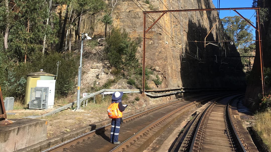
The Geotechnics field team, who conduct these inspections, needed an easy way to refer to previously collected data in the field for the assessment. Previous inspections of the cliff faces and sandstone cuttings had been conducted with pen and paper. The team wanted a way to reduce juggling clipboards, cameras, field tools, and hundreds of previous reports because field personnel would potentially be walking up to eight kilometers in one day.
The inspections involve various team members collecting data in the field, so a standard, easily repeatable method for data collection was needed. Additionally, the client requested the final deliverable as a PDF report, so the data collected needed to be easily converted to reports with minimal data entry and manipulation.
Sections of the Main Western Line in the Blue Mountains are only closed for four weekends per year due to high weekday commuter and weekend tourist patronage. As the rock cuttings are only visible up close, the field inspections must be carried out on foot within these limited timeframes, so the new data capture solution had to be time efficient as well.
Solution
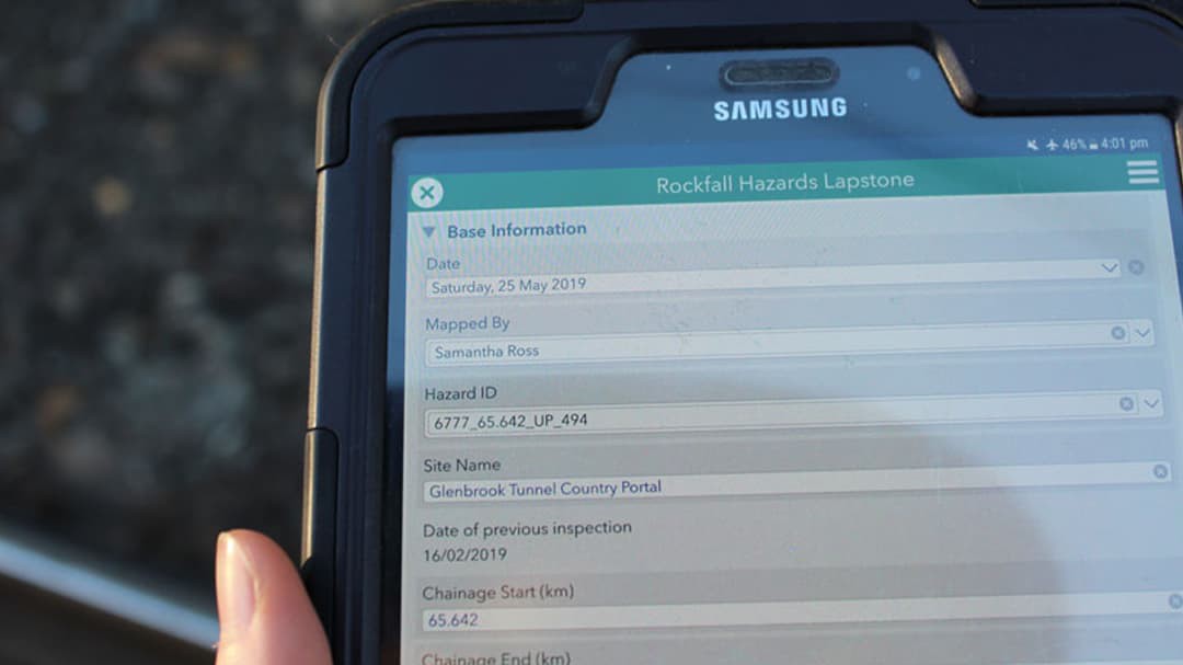
GHD's Geotechnics team chose ArcGIS Survey123, a form centric application for creating and distributing surveys and collecting data, to enable efficient and detailed data collection on lightweight mobile devices. The original hazard report data supplied by the client was converted into a spreadsheet format to be accessed within the form using the "pull data" function. Each hazard was assigned a unique ID. When the ID is selected in a drop-down menu at the top of the form, most fields in the form are populated with the existing information from this reference spreadsheet.
For subsequent inspections, data that GHD had already collected populates the fields in the survey form based on the unique ID. From there, a user can edit the inspection information, if necessary, or select "no change" to allow for quick data capture.
High-resolution photos taken with cameras were attached to each record and could be annotated, if necessary, to indicate certain features or highlight potential remediation options. The field data was then reported using a custom Python script run in ArcMap software.
Results
The ability of Survey123 to populate fields based on existing data saved GHD lots of time in the field, increasing efficiency: all the information needed to make an assessment was right in front of the inspectors on a lightweight device. GHD's field team quickly adapted to the new method of data collection, and inspections were successfully completed within the restricted timeframes.
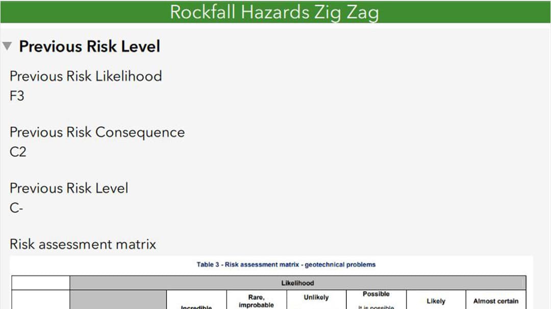
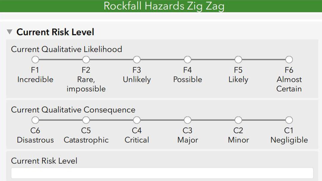
Users could see all information pertaining to the hazard and edit the entries as required, rather than having to re-enter all the information. Photos and questions about the current risk rating were not prepopulated and had to be filled out upon each inspection as this forms the basis of the assessment.
This method of data collection was reliable and repeatable, which streamlined operations. Some sites were previously inspected by GHD in 2007 and 2017 using pen and paper for data collection. Using Survey123 in this round of inspections has cut the time (and cost) to enter all the data from the 2017 risk assessment by 50%, and it has reduced the time to one-sixth of what was required in the past.
While the initial setup of the survey form took a little more time and thought, the finalized schema meant that very minimal changes were required for subsequent rounds of inspection. The data collected was already in a format compatible with the reference spreadsheet, hence ready to be pulled into the new survey that was cloned from the previous inspection with minimal manipulation.