
Spatial Analysis in ArcGIS Online Map Viewer
Webinar
Solve problems with analysis in ArcGIS Online
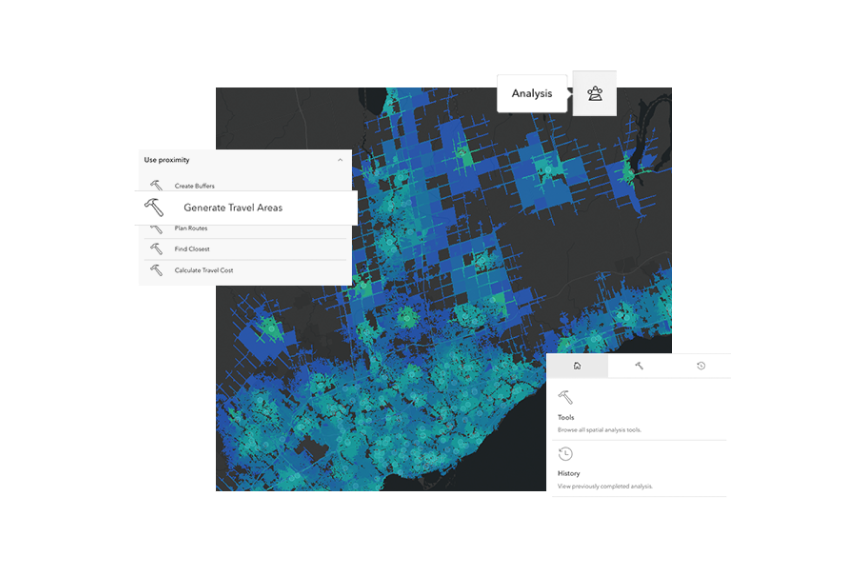
Spatial analysis uses location as a connective thread to help the world understand where things are happening, how they are related, and where patterns exist. In addition to mapping, analysis is an integral part of ArcGIS Online. This webinar introduced the spatial analysis and charting experience in ArcGIS Online Map Viewer. We demonstrated different analysis workflows including exploratory data analysis using charts, feature analysis, raster analysis, and new functionalities such as analysis history.
In this 60-minute webinar, we covered how to:
- Explore data using data visualization techniques such as charts.
- Use analysis tools in ArcGIS Online Map Viewer to solve spatial problems.
- Share your analysis with others by leveraging analysis history, ArcGIS Instant Apps, and ArcGIS StoryMaps.