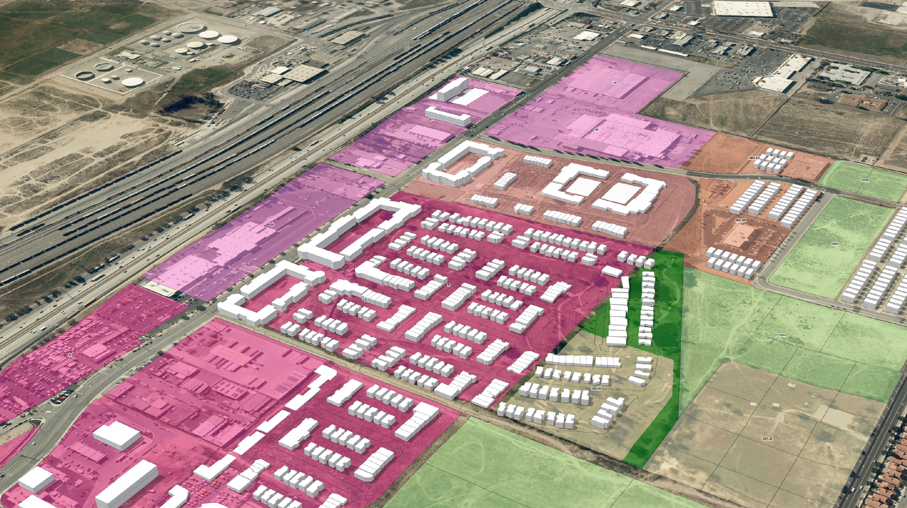
Coordinate Systems Support for a Seamless Data Editing & Analysis
In our upcoming webinar, What's New in ArcGIS Urban (October 2023 Release), you'll gain practical tips for maximizing the latest version of ArcGIS Urban. Whether you're new to the software or ready to apply this update to your existing work, this webinar is the perfect opportunity for you.
A key highlight of this release is the ability to base 3D models of your town or city on your local coordinate system, providing more accurate and reliable insights for zoning, land-use, and redevelopment analysis. Join us on November 8 at 9:00 a.m. (PT) for a live presentation where we'll cover the following:
- How coordinate systems enhance 3D models
- Benefits of aligning models with your chosen coordinate system
- Best practices for implementing coordinate systems across multiple models
- Getting up and running with ArcGIS Urban
Sign up today to secure your spot at our live presentation and receive access to the recording.

