Get a digital copy of Mapping the Nation
Explore stories from the latest volume of Mapping the Nation, published by Esri Press, that illustrate how a geographic approach guides important decisions across the country.


Guiding Good Governance
Discover inspiring stories about the positive impact of GIS on governance and public engagement.

Explore stories from the latest volume of Mapping the Nation, published by Esri Press, that illustrate how a geographic approach guides important decisions across the country.
GIS enhances decision-making processes, ensuring that policies are effective.

Cross-agency collaboration reopens port
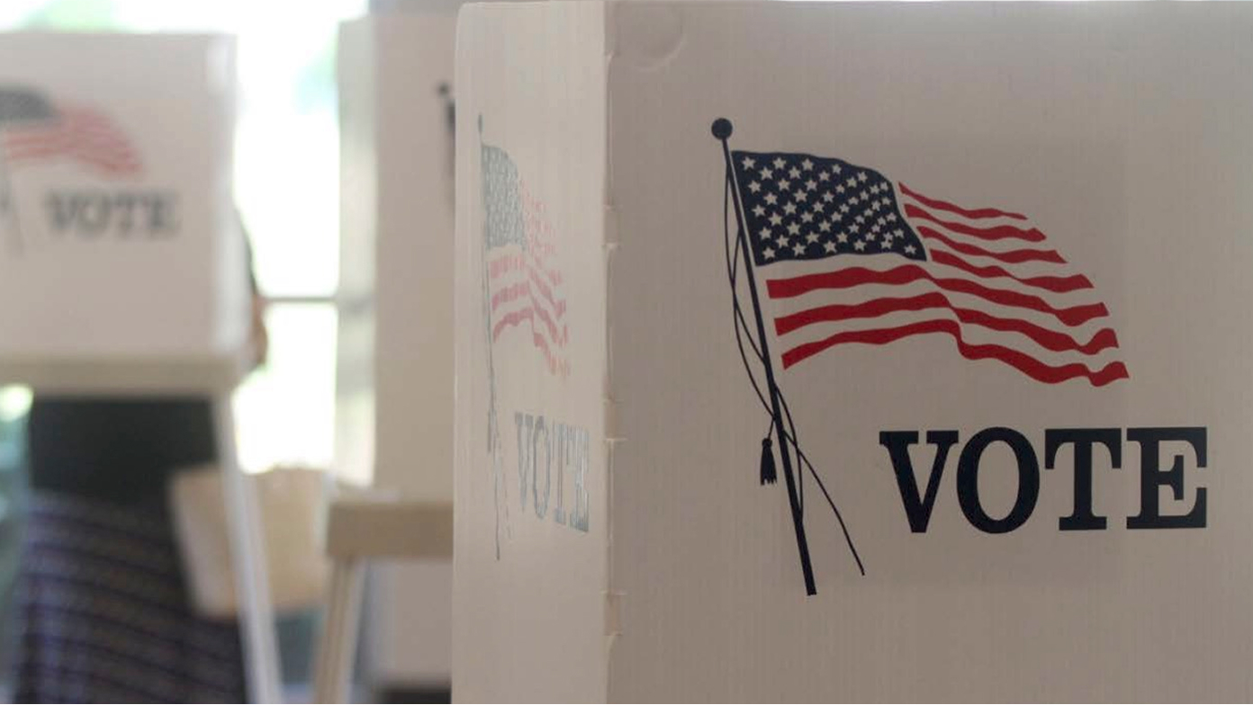
Saint Louis County ensures election transparency

Digital twins: Clarity for complex systems

Cloud-based approach improves data sharing
GIS is used to map damage from natural disasters, coordinate emergency services, and guide law enforcement.
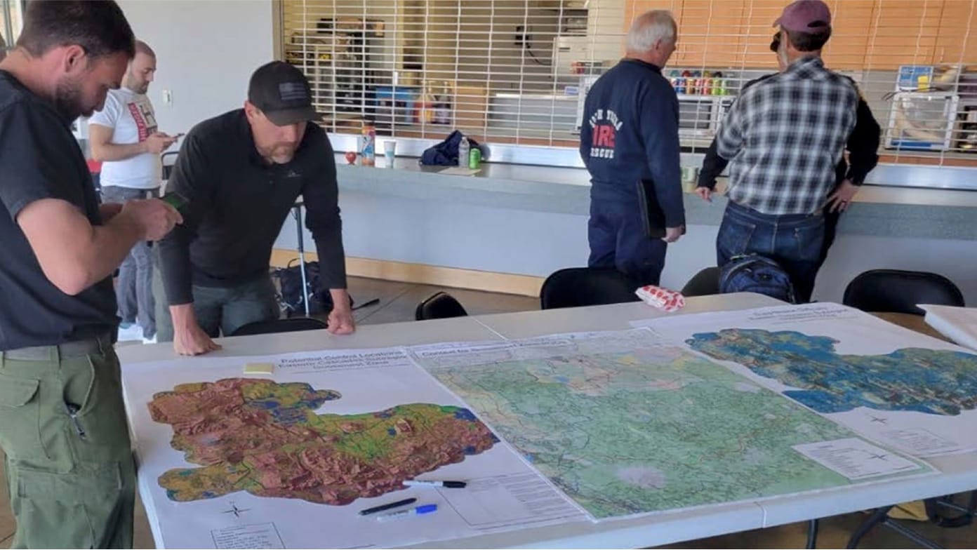
Mapping a wildfire response
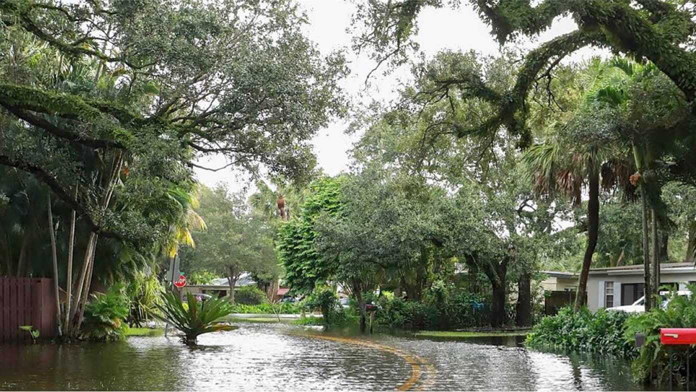
The battle against a historic rain in Florida
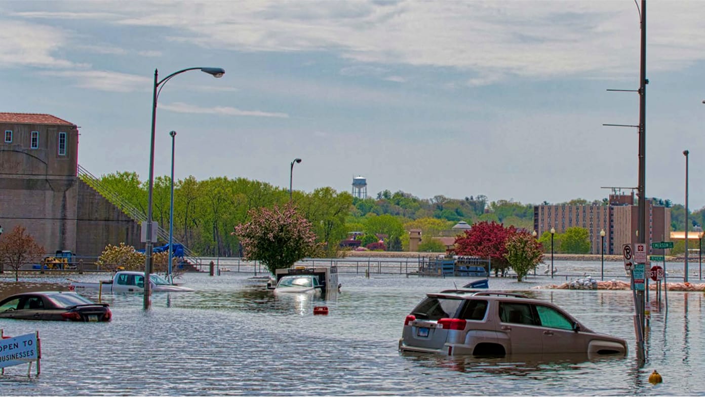
Iowa’s Scott County trusts GIS in emergencies

Austrian crime atlas transforms policing
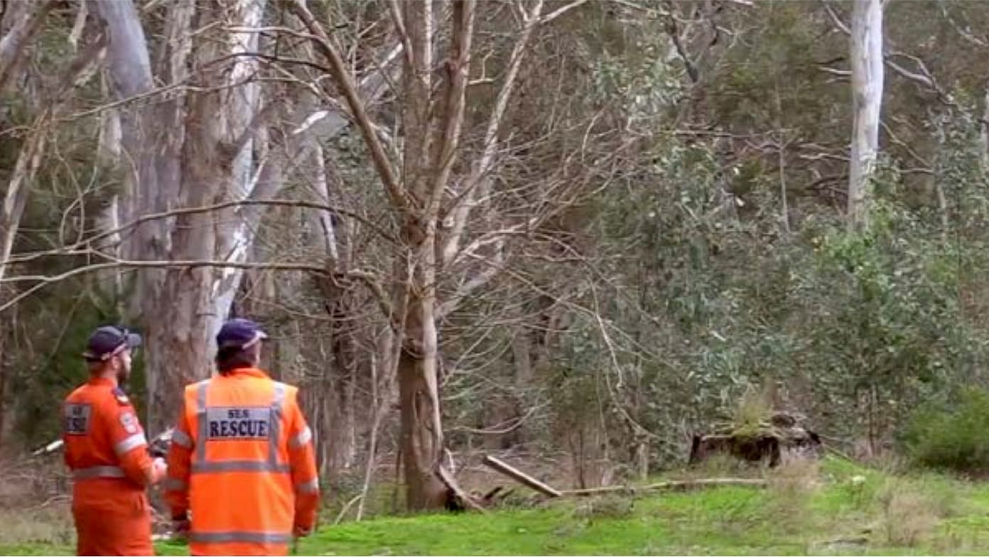
Drones improve response to Australian floods
GIS is essential for defense and security, providing a shared map-based operational view that enhances situational awareness and collaboration among military units.

Germany’s soldiers gain a collaborative edge
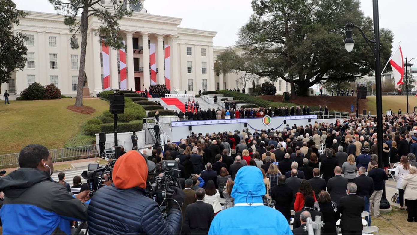
Awareness boosts Alabama’s public safety
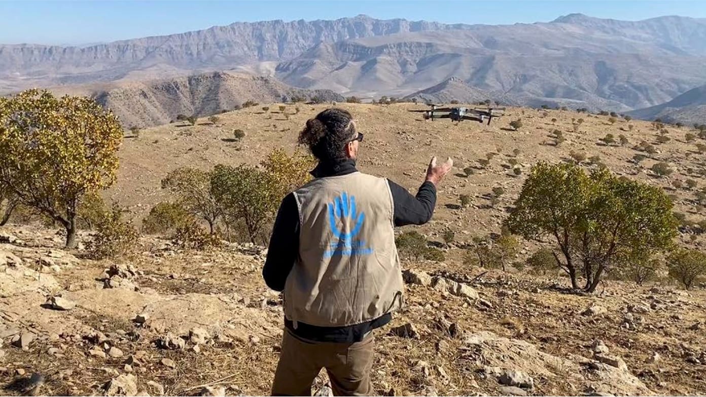
Lessons learned in demining with drones

National Guard safeguards endangered species

Improving US Air Force base space management
With GIS, planners can practice effective urban development by making complex data accessible and understandable, which enhances transparency and collaboration.
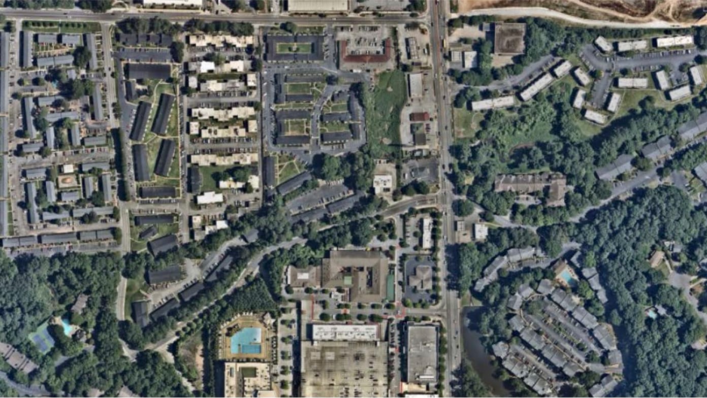
A new urban vision for an Atlanta suburb

Building an urban utopia

Telling a city’s story

Envisioning more housing in Washington, DC

Maps help I-10 cities solve common problems
GIS enhances infrastructure efficiency by providing detailed virtual models and digital maps that allow for comprehensive site analysis in both 2D and 3D.

Tampa maps roads to reduce fatalities
Using water to improve myriad outcomes
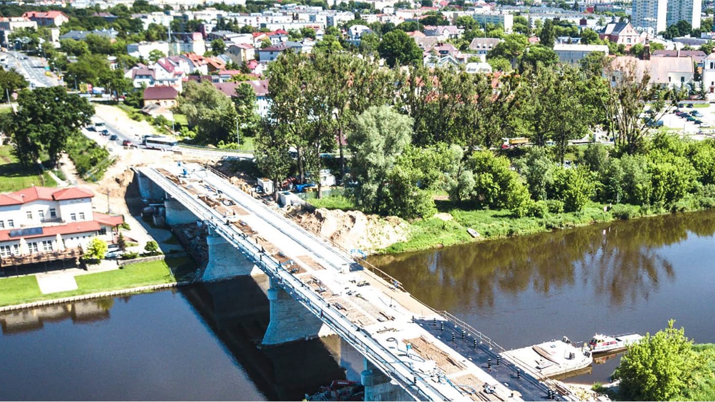
France maps bridges to prioritize repairs

Drones, maps, and AI unite city functions
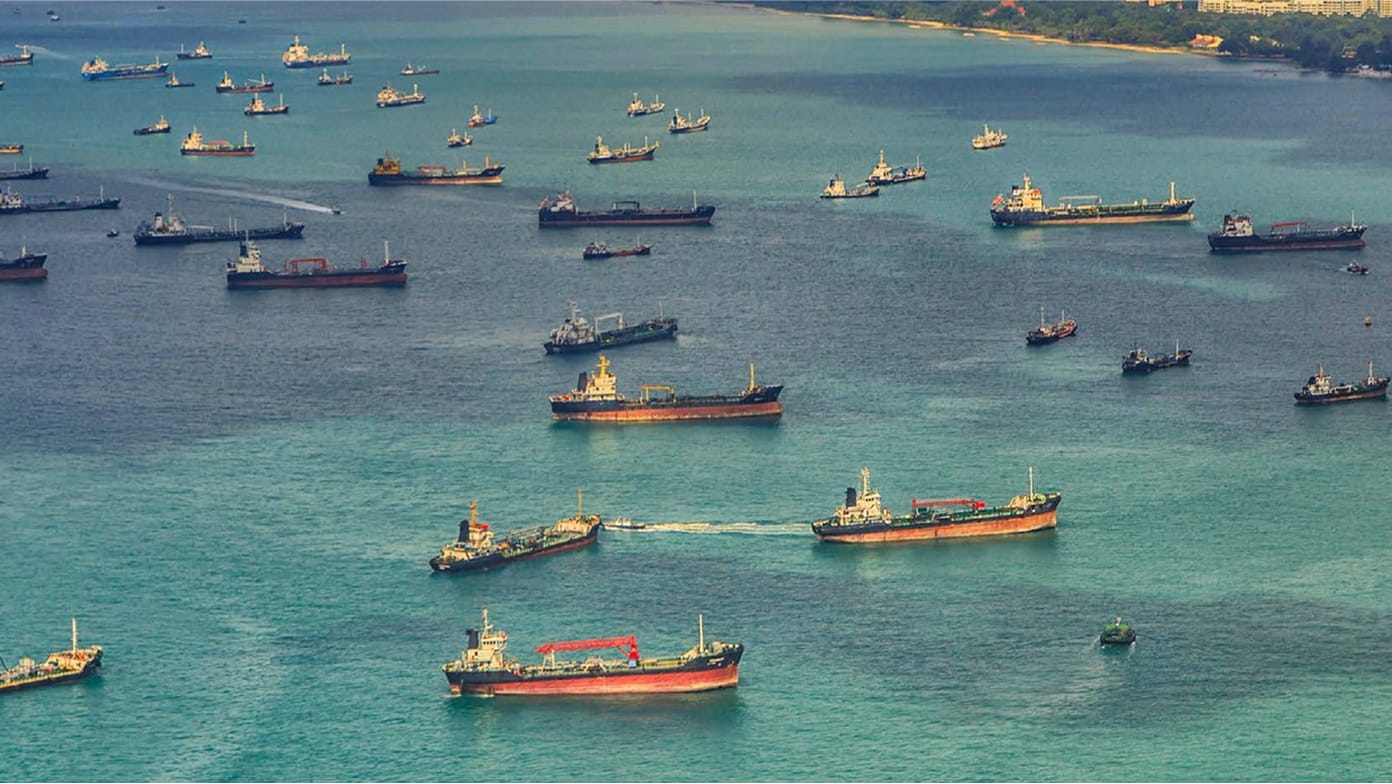
Singapore port implements a digital twin
A geographic approach has helped revolutionize how communities mitigate extreme weather events by adopting resilience strategies.

Maps help Oklahoma City address severe heat
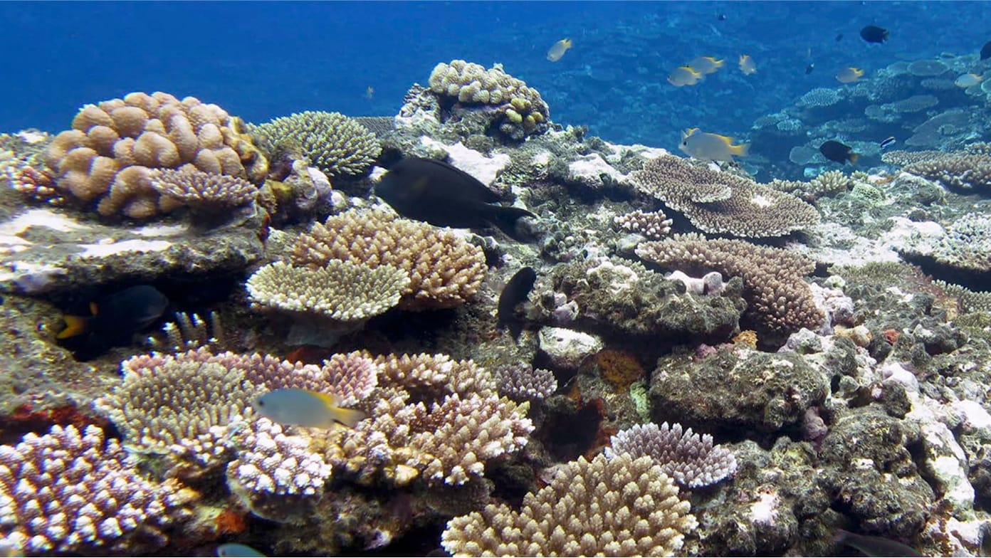
Coral reef mapping shows stunning resilience
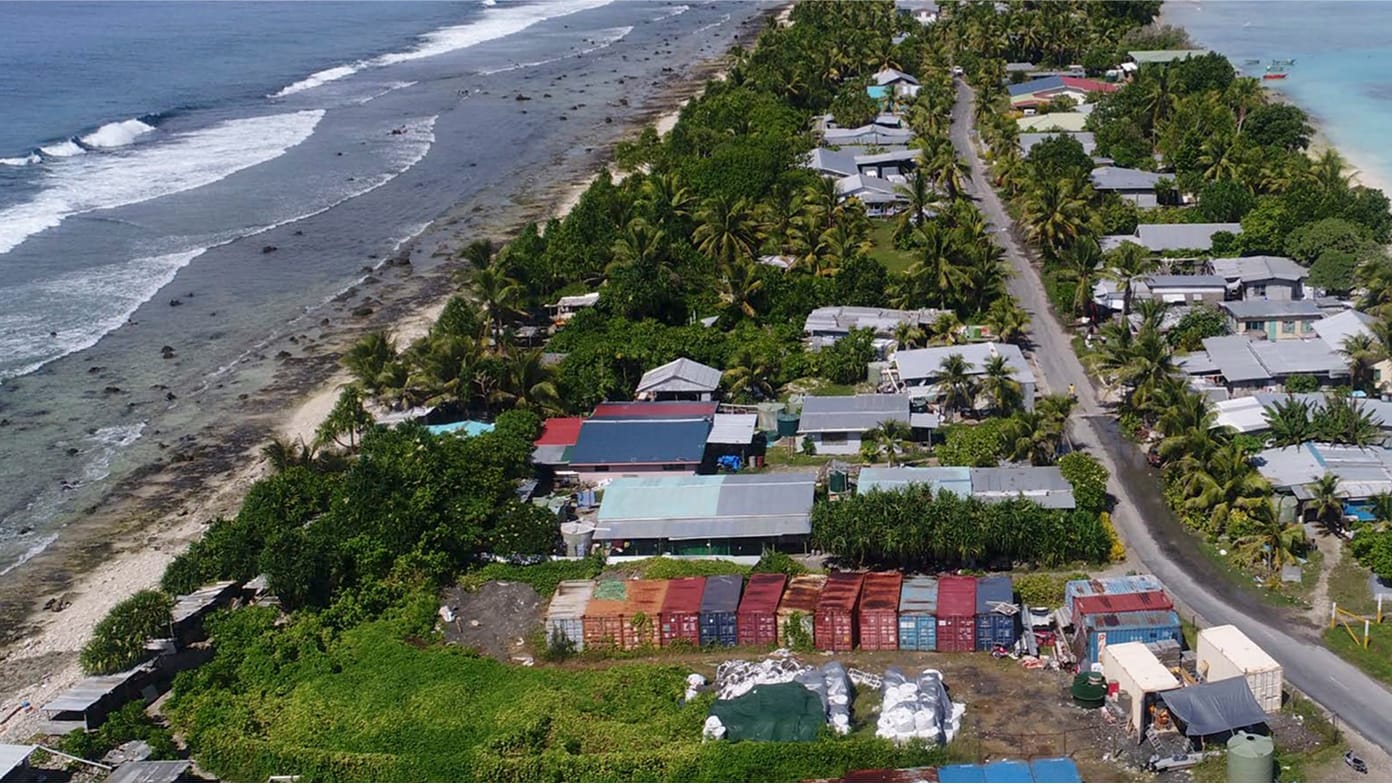
Tuvalu’s digital twin protects its identity
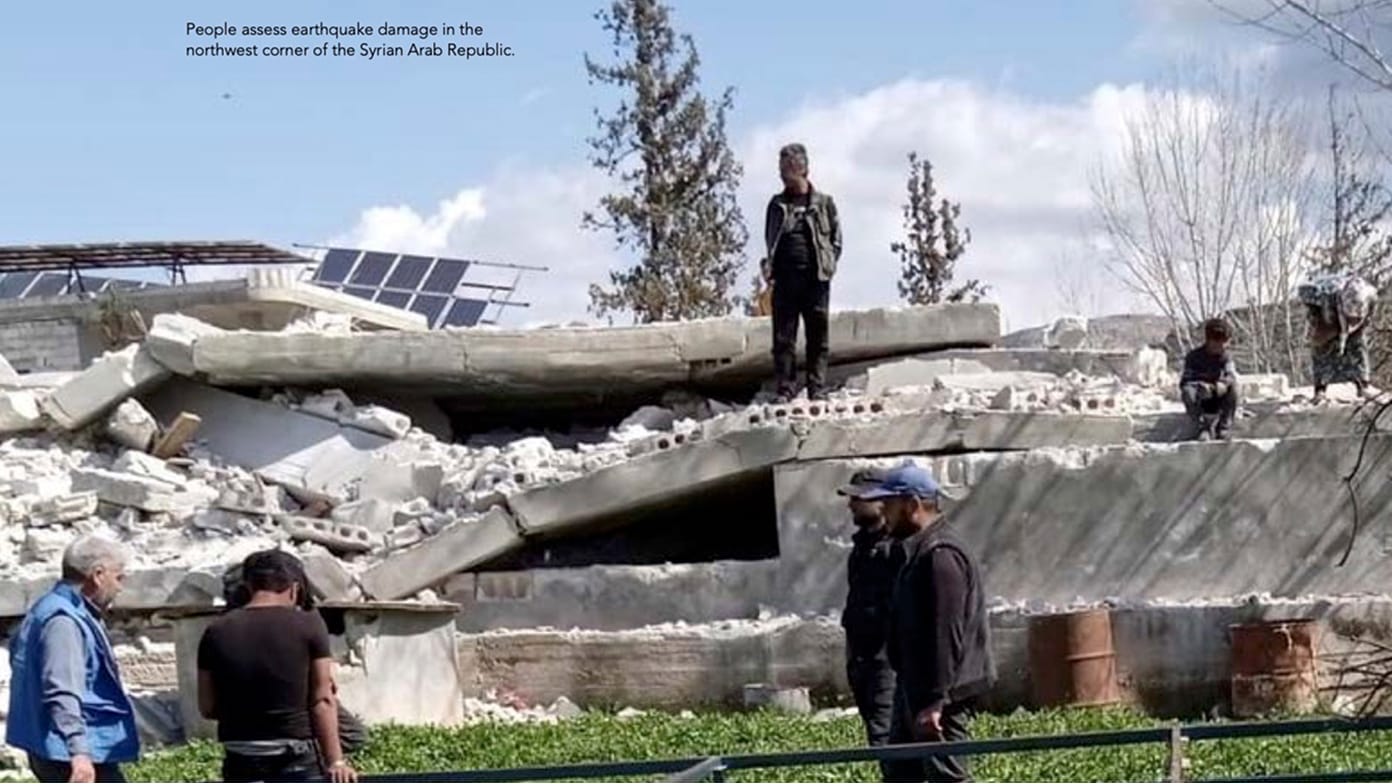
Assessing needs of food-insecure countries
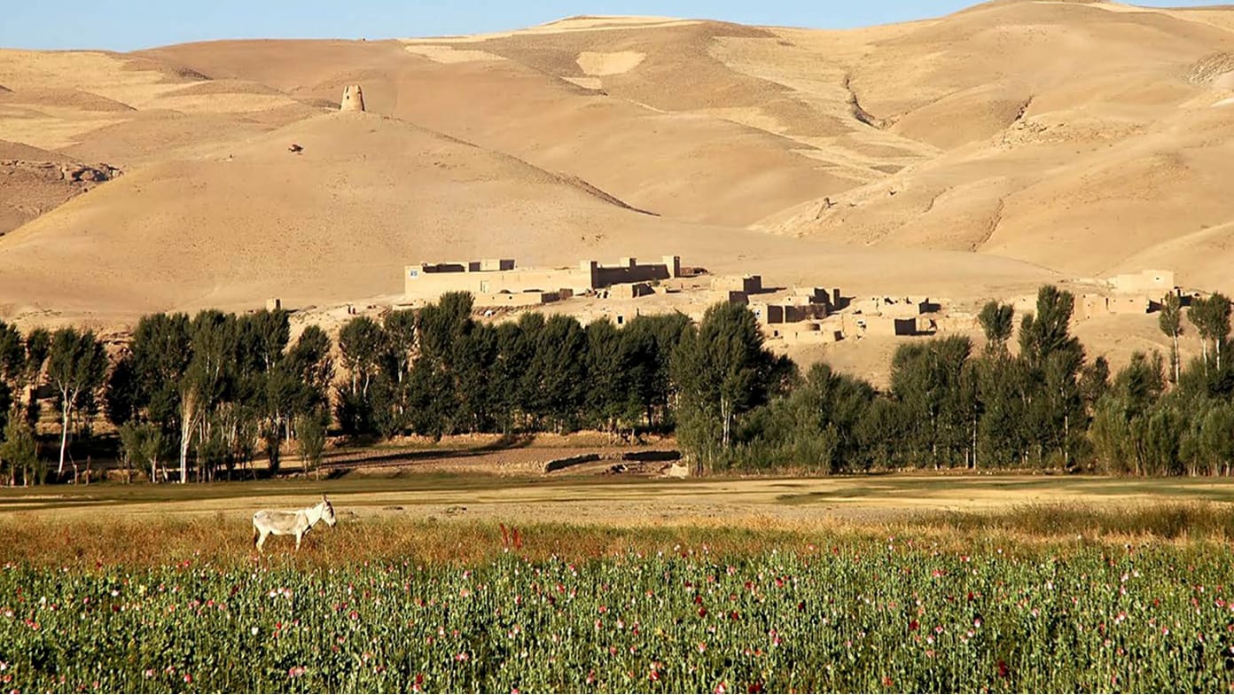
Maps reveal life under Taliban rule
GIS supports decision-making by mapping out complex issues and showing progress toward resilience and sustainability goals.

Smart maps guide optimal wine production
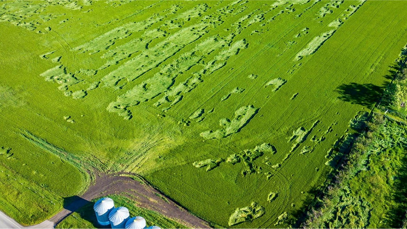
Crop insurance program gains new awareness

A data-driven approach to habitat restoration
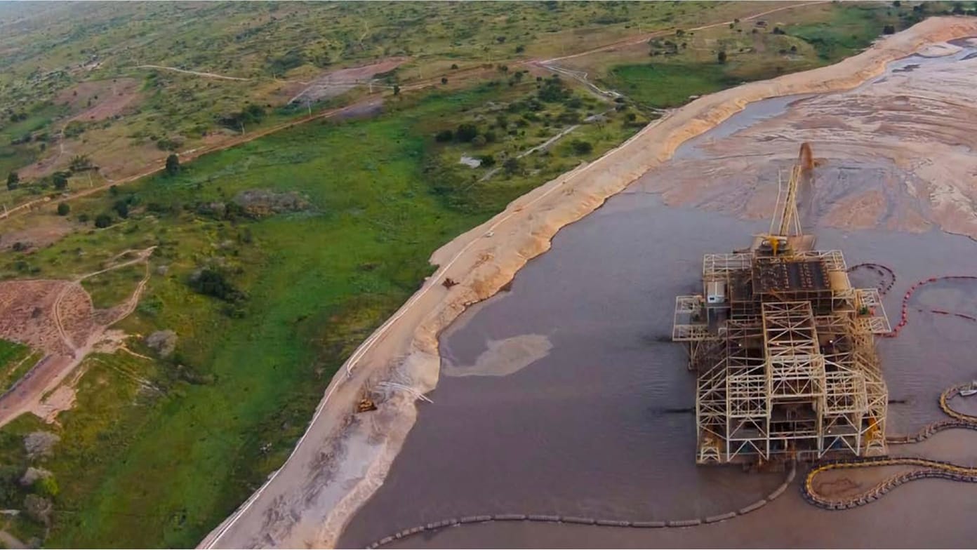
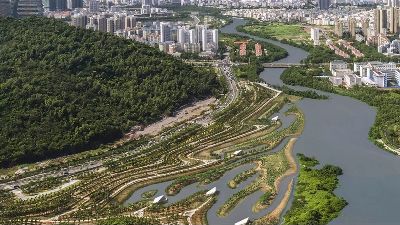
Environmental digital twin fuels restoration
GIS is instrumental in managing protected areas, guiding rewilding efforts, and assisting natural resource management.

Map reveals pangolin trafficking supply chain

Sensor tracks air pollution from outer space

Tennessee State Parks reaches peak awareness
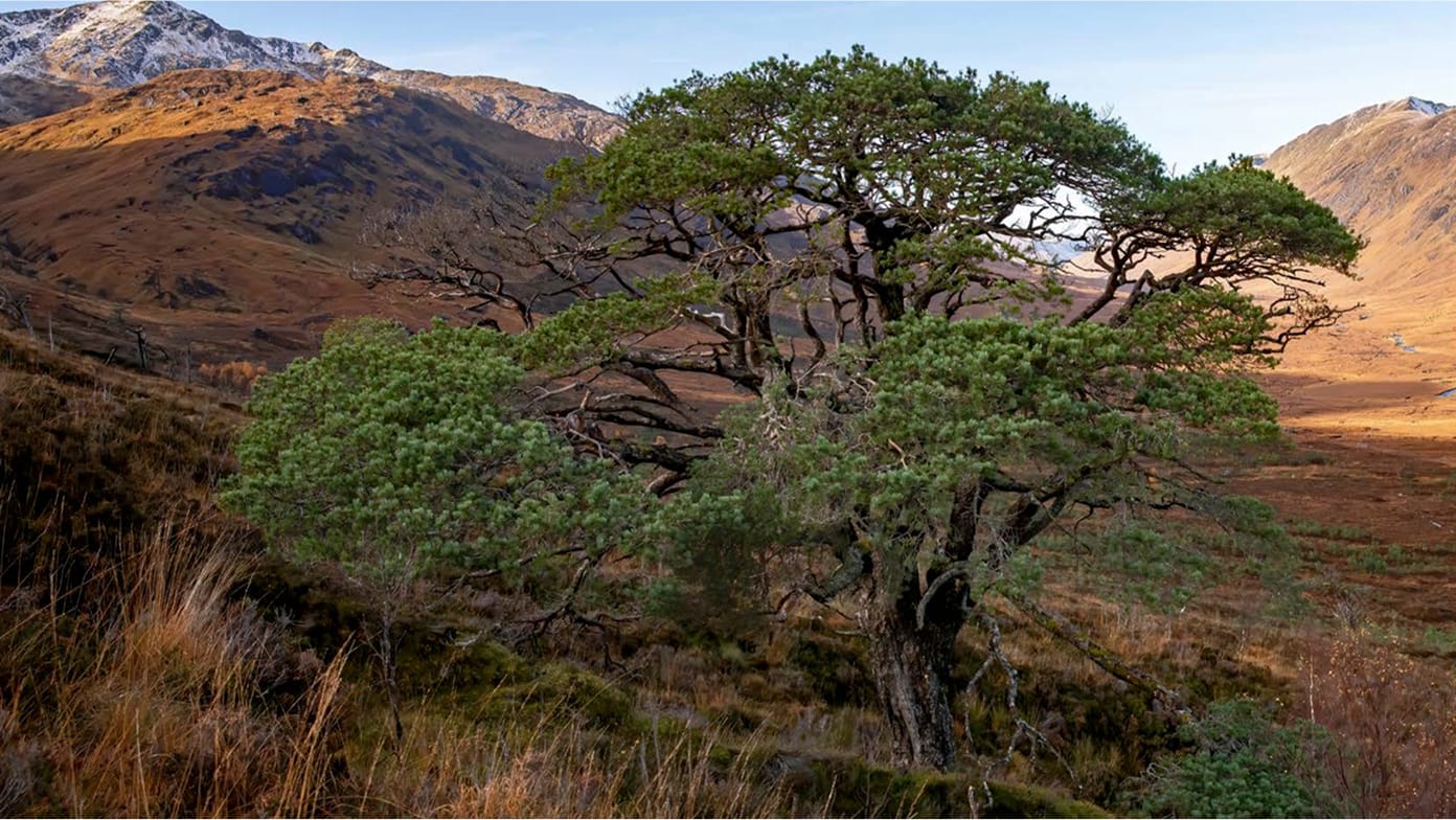
Centuries-old map guides Scotland’s rewilding

Saving the North Atlantic right whale