
ArcGIS Tutorial
Getting started with Police Transparency
Explore the functionality and use cases of the Police Transparency solution in ArcGIS.
GIS for equitable policing
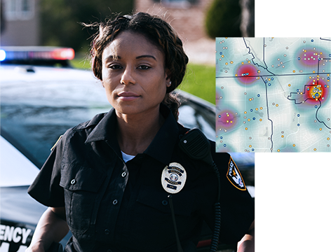
Build community trust and increase transparency
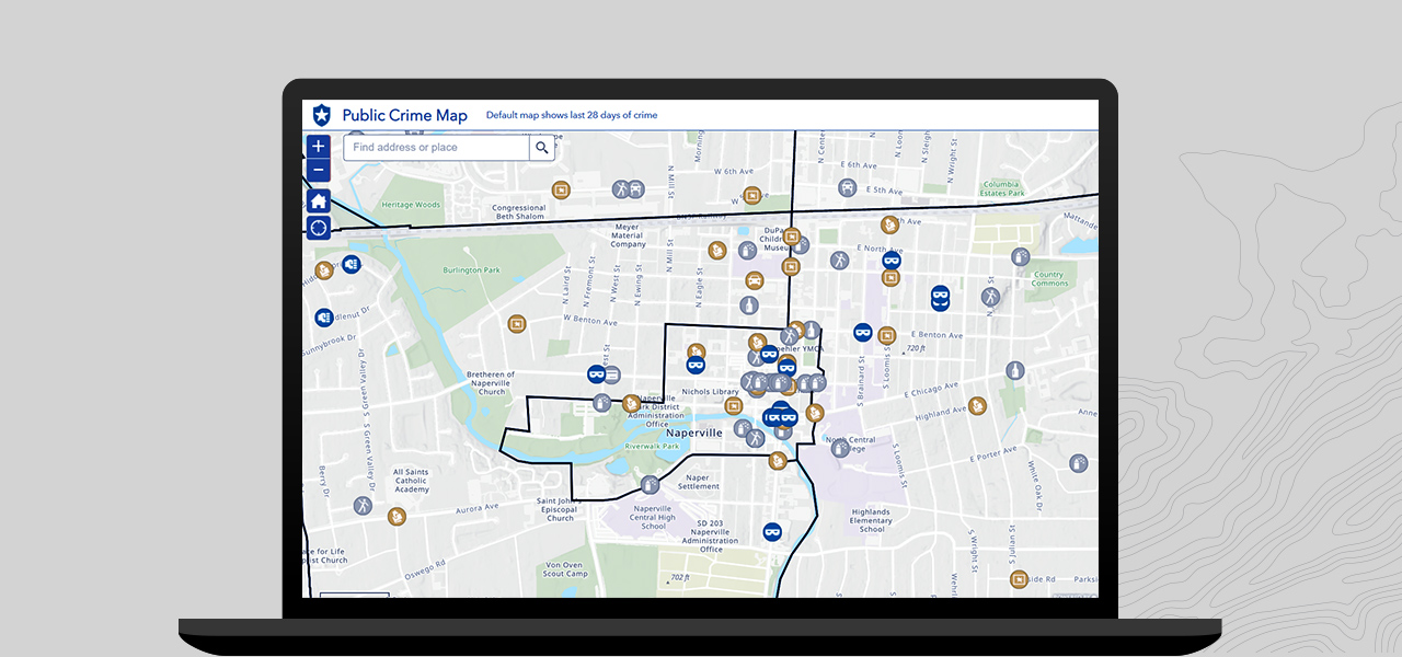
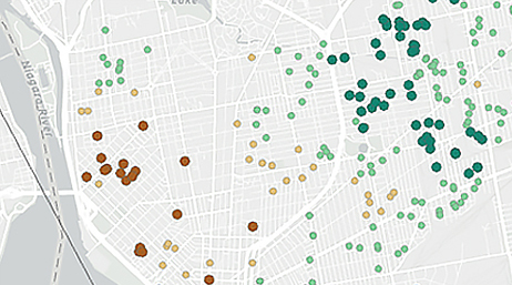
Access timely, accurate information about historic crime trends and current problems in the community via public maps and dashboards that help keep citizens informed. Public crime maps can be filtered by crime type, date range, or area of interest. Generate custom self-service reports to facilitate community action meetings and improve the overall awareness of ongoing crime problems.
Help the community understand police use-of-force incidents. Communicate information through dashboards that help the public and racial justice stakeholders discover how and why police have used force, learn about the communities and groups of people most impacted by these incidents, and understand racial disparities. Dashboard users can also explore the race and ethnicity of the officers and subjects involved in use-of-force incidents, examine how these incidents relate to community demographics, and use filters to sort incidents by neighborhood, incident type, or individual police officers. To further enhance communication, police departments can create online surveys that provide feedback about the community’s interactions with officers.

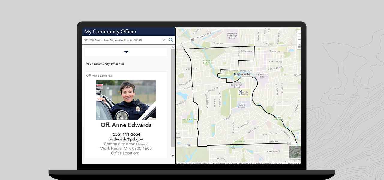
Racial justice can’t be achieved in a vacuum. Police must build strong partnerships with the community to proactively address systemic racism. GIS can help promote community-focused policing initiatives with tools that allow citizens to connect with police, report quality of life issues, and foster collaboration with police officers through dedicated problem-solving groups. These tools can also help drive racial justice initiatives, monitor the status of ongoing efforts, and provide feedback to departments about the overall success of initiatives.
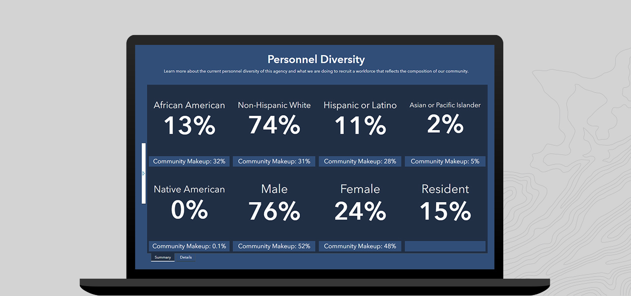
Many police departments are striving to become more diverse and better reflect the communities they serve. These departments recognize that diversity among police officers can build trust with the community and enhance their understanding of the problems that communities of color face. Esri’s tools can help agencies become more transparent about their hiring practices and overall demographics. Use dashboards to reveal where agencies can make improvements in recruiting, hiring, and promoting officers that reflect the diversity of the communities they serve.
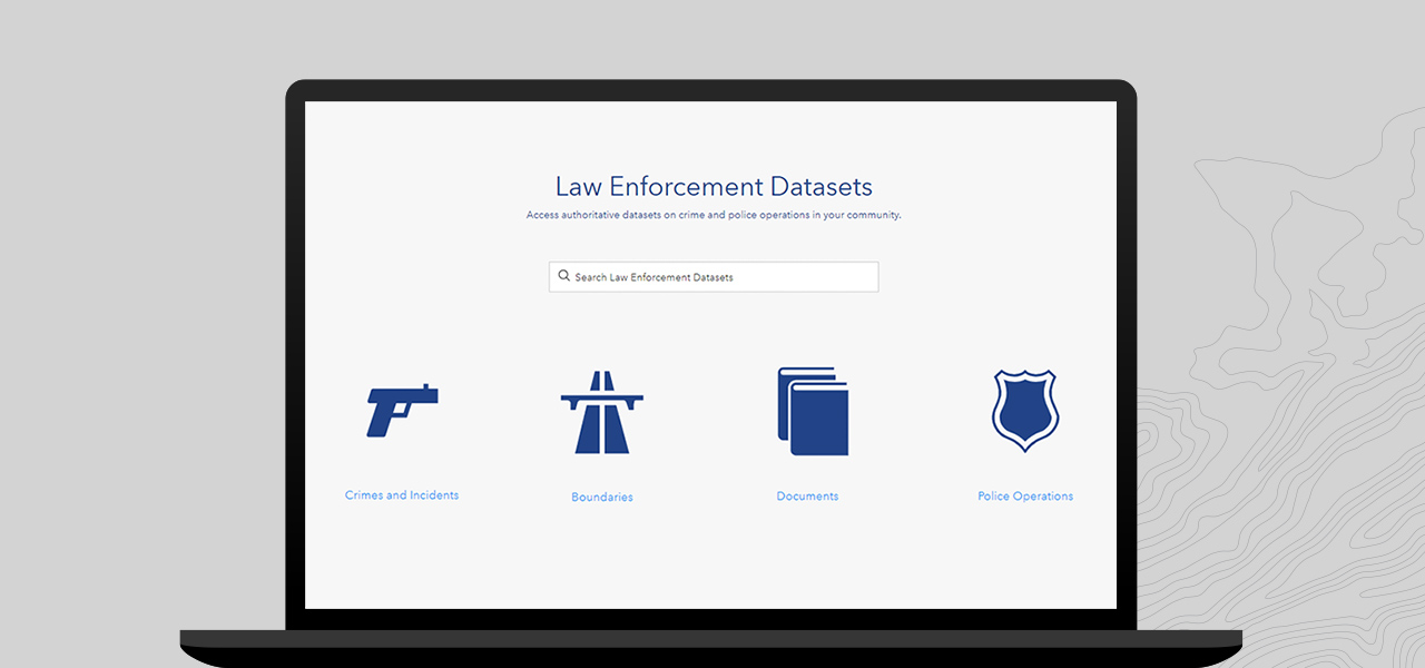
Data is foundational to police transparency and accountability. Agencies can use GIS tools to publish information and authoritative agency data including crime and incident data, jurisdictional boundaries, general orders, annual reports, and any other key performance indicators that can help foster open, transparent policing.
The Police Transparency solution helps you share information openly with the public, promote your agency’s work, demonstrate accountability when force is used, illustrate workforce recruiting that reflects the diversity of the community, and engage the public to improve policing services and solve problems.
Getting started with Police Transparency

Examine racial disparities in police stops
Examine racial inequities in unsolved murder cases

ArcGIS Hub helps you work together with internal and external stakeholders to track progress, improve outcomes, and create vibrant communities.
The secure, cloud-based ArcGIS Online allows you and your team to share maps and apps, collaborate, and analyze data anytime, anywhere.
Use intuitive and interactive data visualizations to present location-based analytics on one screen. Quickly make informed decisions, visualize trends, monitor status in real time, and inform communities.
Easily create powerful surveys, analyze answers in real time, and share results with stakeholders.
Fill out this form, and we will contact you to help your government organization address racial inequity with GIS.