
Racial Equity Community Outreach
Government agencies can use this solution to communicate progress made on racial equity initiatives or programs. It includes applications to visualize workforce diversity metrics and gauge public sentiment.
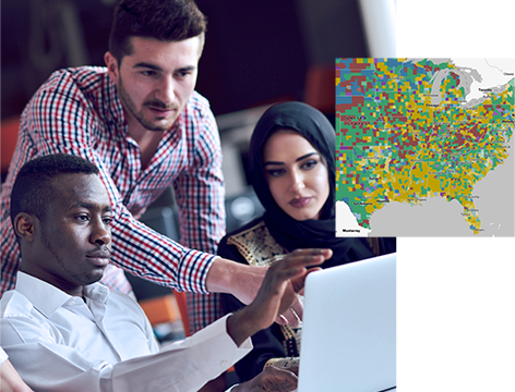
Organizations worldwide are working to end long-persisting racial inequalities, and location intelligence is critical to those efforts. Applying a racial equity lens in a geospatial context helps leaders in government, community organizations, and businesses understand the complexities of racial disparities. With insight into inequities, barriers, and opportunities for more equitable outcomes, maps and dashboards help optimize your efforts to have a positive impact on your community and achieve racial justice.
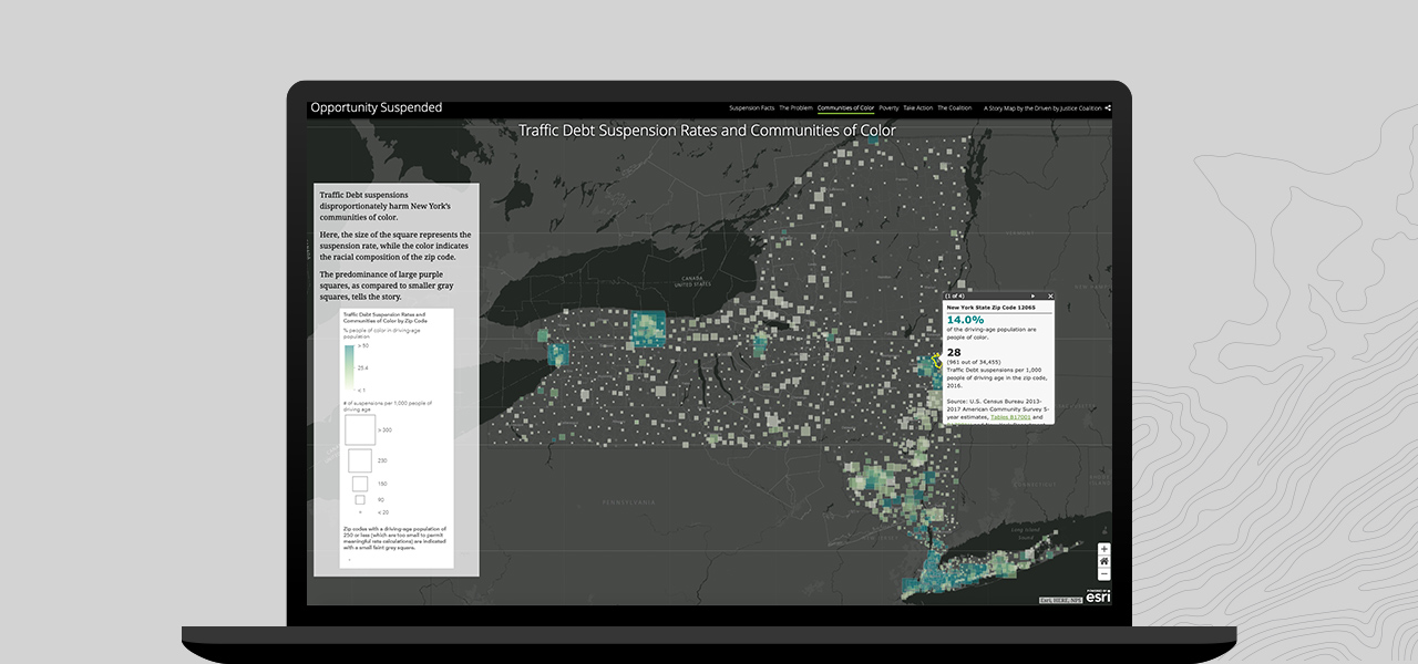
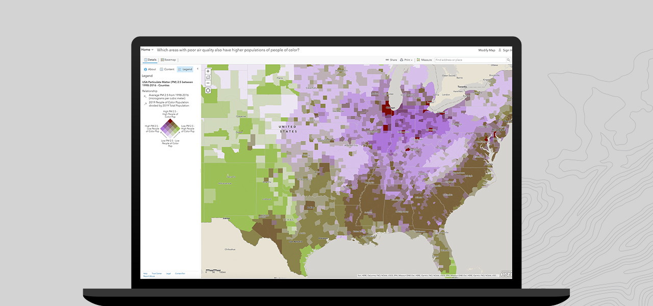
Adding location to a racial lens will help identify, act on, and eliminate persisting racial disparities across your community. Examine how communities of color will likely be affected by an event or policy change to help minimize unanticipated consequences. Perform a racial equity impact assessment while changing policies, planning initiatives, and implementing programs. Use maps and spatial analysis to determine whether proposed policies, organizational practices, initiatives, and funding decisions will benefit communities of color or create a burden. Use location intelligence to reveal opportunities to advance racial justice.
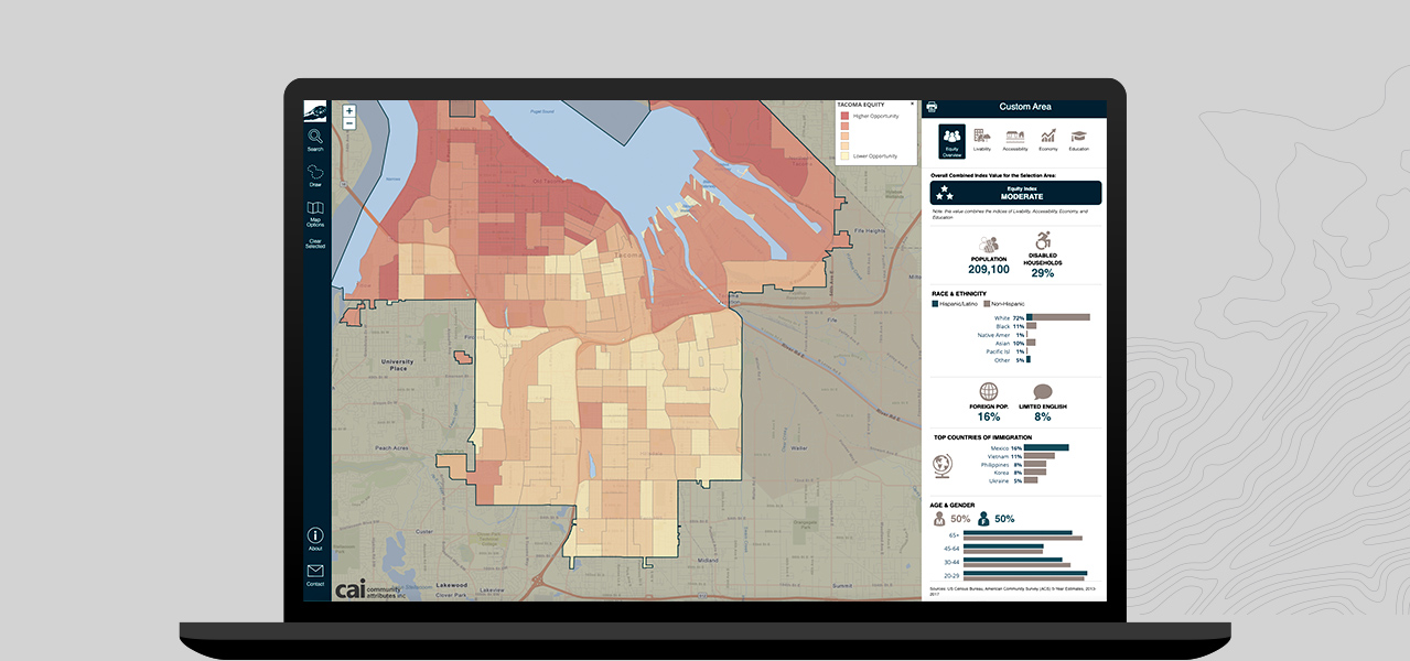
Integrate racial justice into policy making, services, programs, and budgeting by adding location intelligence. GIS can help you develop strategies and actions that reduce racial inequities and lift your entire community. Develop and implement policies and programs with thoughtful consideration of racial equity to avoid perpetuating racial inequities in operations and decision-making.
Government agencies can use this solution to communicate progress made on racial equity initiatives or programs. It includes applications to visualize workforce diversity metrics and gauge public sentiment.
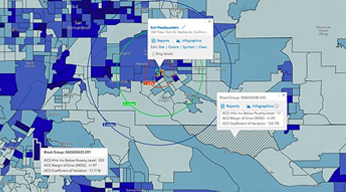
Apply a racial equity lens quickly with instant access to data, visualization, and reporting. The web application—with no installation needed—is a cloud-based mapping solution that provides easy-to-use GIS capabilities for every user.
ArcGIS Living Atlas of the World is the foremost collection of geographic information from around the globe. It includes maps, apps, and data layers to support your work.
Fill out this form, and we will contact you to help your government organization address racial inequity with GIS.