
GIS for Right-of-Way Management

Webinar Series

Transform your right-of-way with GIS

Upcoming webinars for right-of-way management

Organizations are rethinking their use and management of right-of-way (ROW) as they prepare for the next generation of infrastructure. Whether it be for broadband, renewable energy, utilities, or transportation, managing ROW is a spatial business. By embracing a geographic approach, you can make data-driven decisions around all aspects of right-of-way. Ensure your organization is ready for capital investments by using GIS to protect, enforce, and maintain the right-of-way. Join Esri’s team of experts as they bring you the GIS information you need to know.

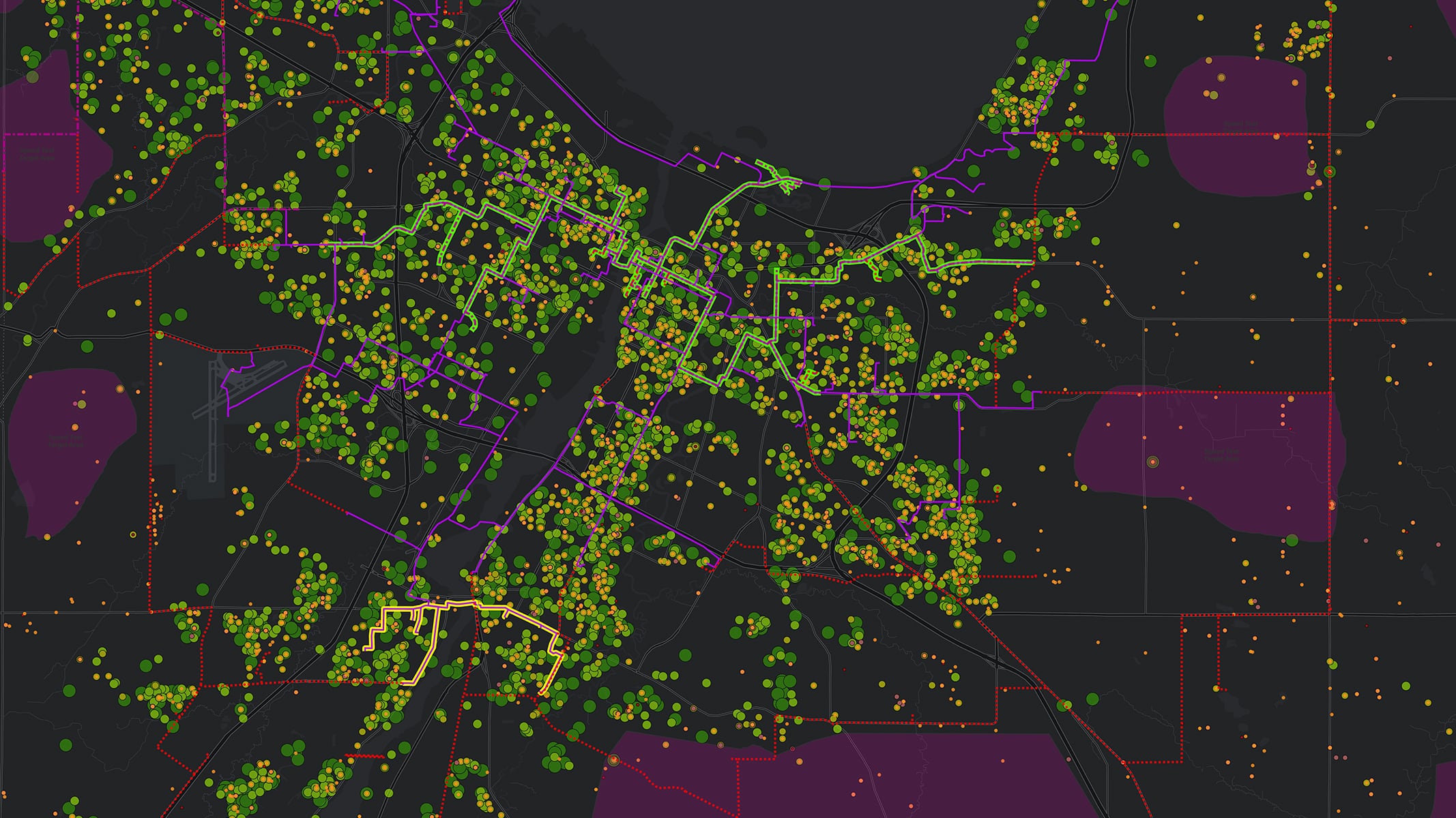
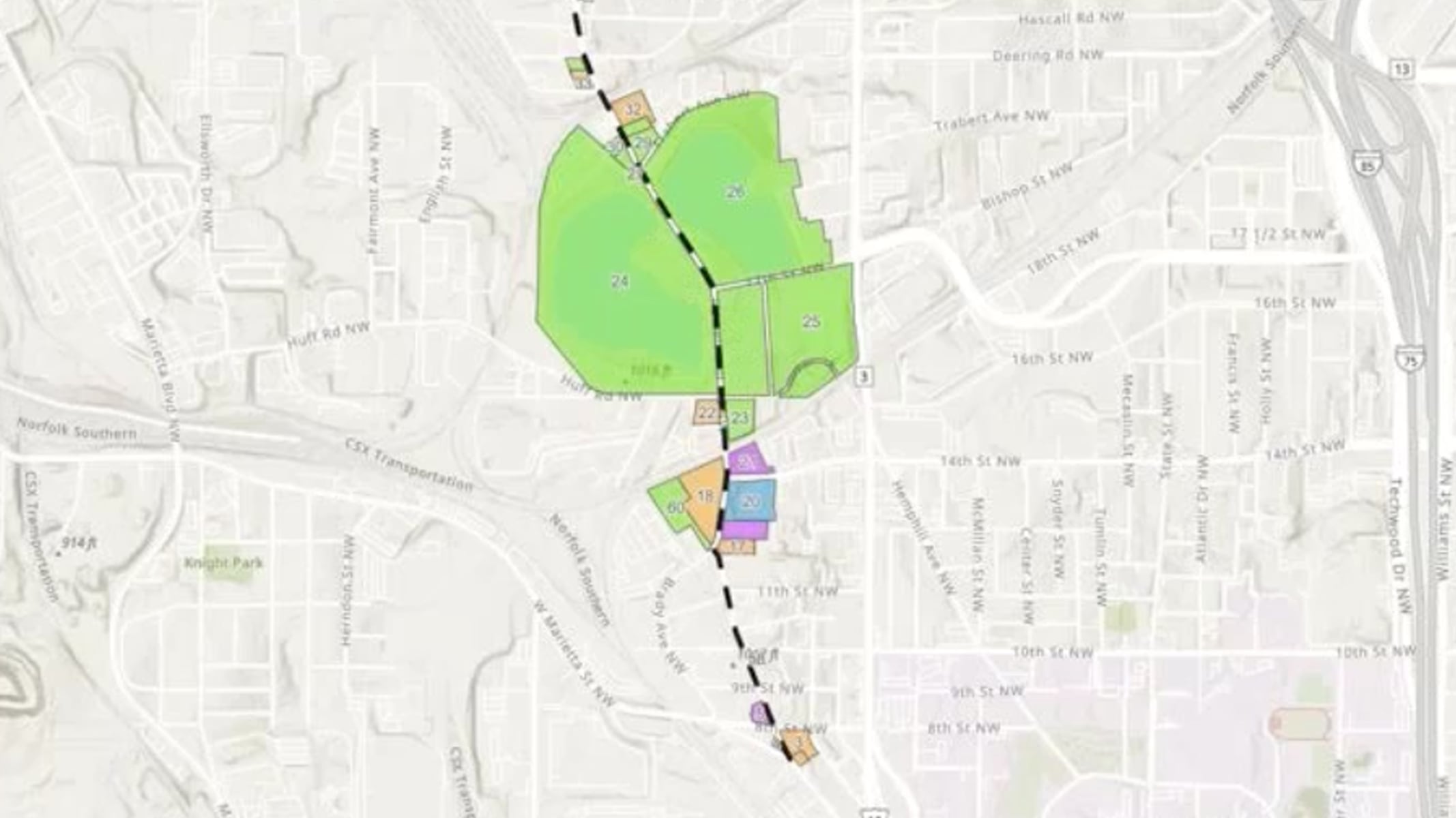
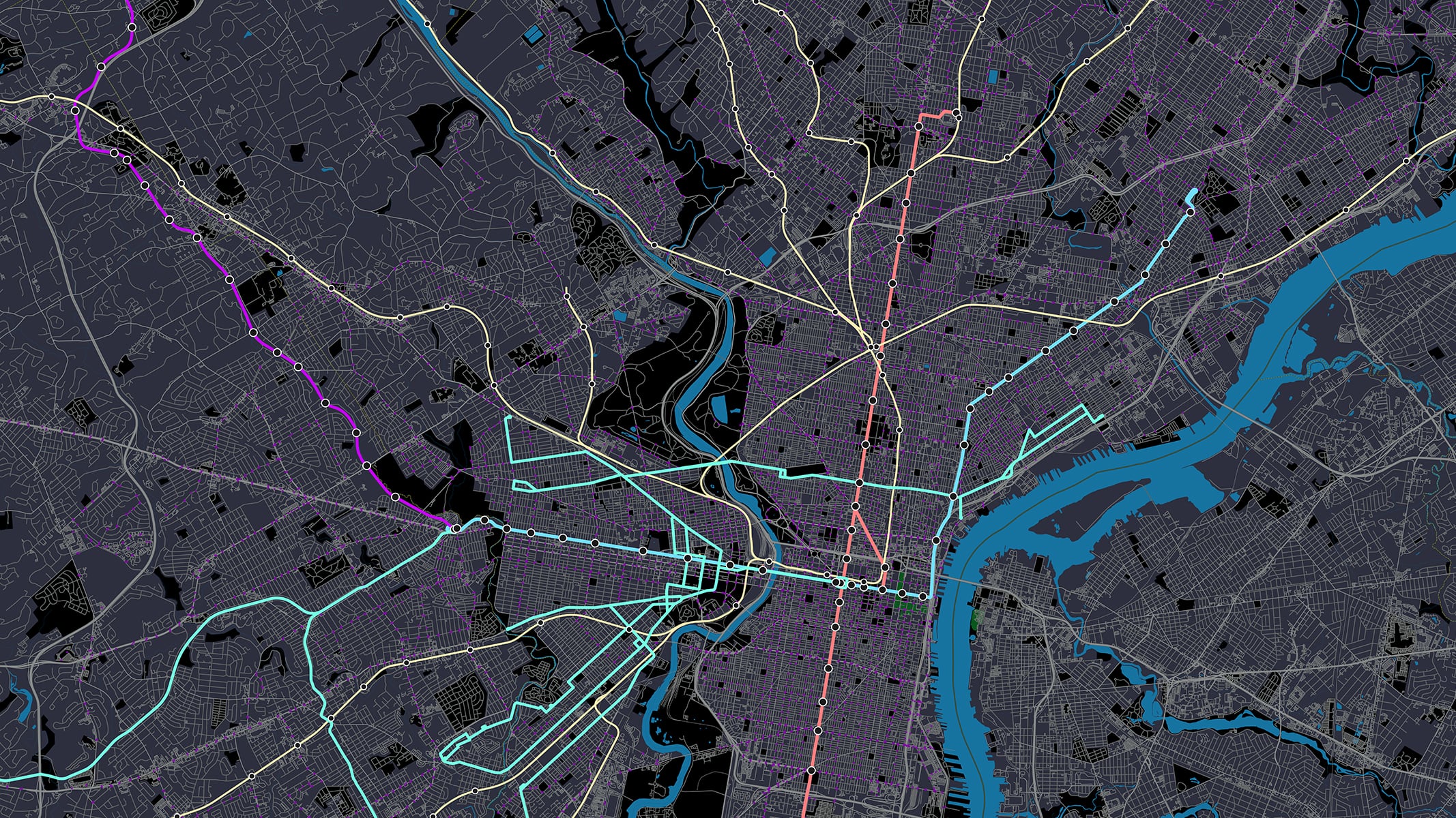
Inventorying and Mapping Right-of-Way with GIS

Date: April 26, 2023

Time: 1:00 p.m.–2:00p.m. (MT)

Location: Virtual

Cost: No cost

Language: English

With right-of-way inventory and mapping powered by GIS, learn how organizations can:

  • Inventory and map rights-of-way and related infrastructure for data-driven decision making.
  • Provide easy access to data resources, reducing staff time and improving customer service.
  • Reduce costs and liability by identifying property that is no longer needed.
  • Protect public investments by minimizing the risk of data loss.

Access the recording

GIS for Right-of-Way Planning

Date: June 28, 2023

Time: 1:00 p.m.–2:00p.m. (MT)

Location: Virtual

Cost: No cost

Language: English

With right-of-way planning powered by GIS, learn how organizations can:

  • Support 3D modeling for feasibility determination.
  • Analyze multiple mapping inputs such as imagery, topography, and existing infrastructure to better understand project impacts.
  • Deliver robust visualization and reporting for stakeholder engagement.
  • Improve project budgets and schedules by identifying feasible alternatives early.

Access the recording

Managing Right-of-Way Acquisition with GIS

Date: August 23, 2023

Time: 1:00 p.m.–2:00p.m. (MT)

Location: Virtual

Cost: No cost

Language: English

With right-of-way acquisition powered by GIS, learn how organizations can:

  • Engage with landowners by using GIS to tell the project story.
  • Provide real-time analytics of the negotiation process with dashboards.
  • Improve efficiency of scheduling and cost projections with real-time data.
  • Ensure compliance with regulatory requirements by housing and reporting key data.

Access the recording

GIS for Right-of-Way Safety, Operation, and Compliance

Date: October 24, 2023

Time: 1:00 p.m.–2:00p.m. (MT)

Location: Virtual

Cost: No cost

Language: English

With right-of-way safety, operation, and compliance powered by GIS, learn how organizations can:

  • Understand the location and condition of assets for better decision-making.
  • Improve operator safety with reliable subsurface asset data.
  • Make better design decisions by integrating with other design and permitting systems.
  • Ensure compliance with regulations by capturing, analyzing, and reporting key data.

Access the recording

Contact us

Outside the United States