Featured
Dynamic, intelligent infrastructure
Infrastructure isn't fixed; it's dynamic, intelligent, and even emergent.

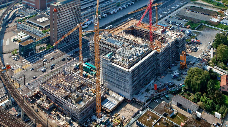
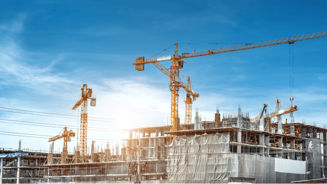
Architects, engineers, builders, and owners use Esri solutions to improve workflows, bring context to projects, and increase collaboration throughout project life cycles. GIS is helping architecture, engineering, and construction firms build smart sustainable communities and assets for the future.
GIS supports the utility asset life cycle—planning, engineering, design, construction, and operations. As a result, GIS is the enabling technology that helps organizations meet sustainability and resiliency goals and prioritize infrastructure investments. In addition, GIS uncovers and supports unforeseen events that continually challenge utilities.

Water utilities and resource managers use GIS to improve location data quality and accessibility, empowering users across organizations to make informed decisions and improve workflows. Esri solutions help utilities manage capital improvement projects, meet and exceed regulatory requirements, and retain institutional knowledge to last generations.

Every aspect of building a broadband network involves location and geography. GIS is uniquely suited to help an organization bid, plan, design, construct, and operate networks while meeting reporting obligations associated with funding applications and awards.

A foundation for modern infrastructure
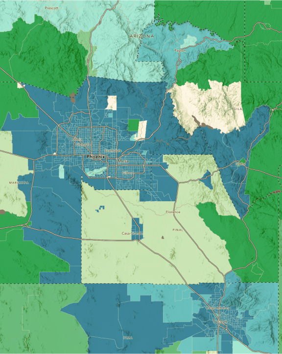
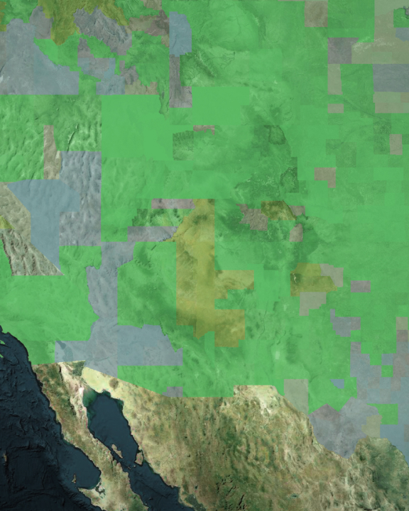
Modernizing infrastructure with resiliency, sustainability, and equity in mind requires a deep understanding of each asset's location-based relationship to environmental and human-made systems. GIS maps and analysis help leaders understand where to make infrastructure investments with the greatest impact and align with sustainability goals.
Resilient infrastructure
Resilient infrastructure helps communities resist and recover from stresses and supports positive economic, social, and environmental outcomes.
Sustainable infrastructure
Sustainable infrastructure requires solutions that anticipate future environmental, social, and governance (ESG) factors.
Equitable infrastructure
Equity is a key consideration for infrastructure investments that must consider social, economic, and environmental well-being.

The geography of infrastructure investments
Modern infrastructure management requires holistic thinking on both micro and macro scales. A geographic approach to planning and operations helps leaders understand how infrastructure projects relate to surrounding environments. GIS is the nervous system for modern infrastructure management, connecting systems, workforces, organizations, and communities. ArcGIS is the cornerstone by which organizations modernize their networks and improve resiliency in a sustainable and equitable way.


The geographic approach
Create a modern, resilient, and sustainable future with GIS