WHAT IS GIS? Geographic Information Systems (GIS)

The mapping and data analysis technology that’s powering business decisions, supporting government operations, and quietly changing the world.

To make sense of the immense amount of data in today's world, we can map it.

When we visualize and analyze data on a map, hidden connections and insights emerge.

GIS gives us a deeper understanding of our world, guiding decisions and actions.

Title

GIS is a unique problem-solving technology with remarkable impact. Watch the video to learn from visionary leaders and technology professionals as they describe in their own words what GIS is, how it works, and why it matters.

FORMAL DEFINITION

Geographic information system, GIS (noun)

GIS is a technology that is used to create, manage, analyze, and map all types of data.

GIS connects data to a map, integrating location data (where things are) with all types of descriptive information (what things are like there). This provides a foundation for mapping and analysis that is used in science and almost every industry. GIS helps users understand patterns, relationships, and geographic context. The benefits include improved communication, efficiency, management, and decision-making.

How is GIS used?

GIS is embedded in the daily operations of virtually every industry. The following are just a few of the thousands of applications.

Choosing the right location

Make better decisions about business growth or service expansion. Know where your best customers are and discover where to find more of them. When selecting the ideal place for a new retail store, distribution hub, or fire station, GIS can bring together all the information important to your decision. Consider what’s nearby, travel times, population numbers, local demographics, site suitability, and competitor locations.

GIS is now more important then ever

Lorem ipsum dolor sit amet, consectetur adipiscing elit, sed do eiusmod tempor incididunt ut labore et dolore magna aliqua. Ut enim ad minim veniam, quis nostrud exercitation ullamco laboris nisi ut aliquip ex ea commodo consequat. Duis aute irure dolor in reprehenderit in voluptate velit esse cillum dolore eu fugiat nulla pariatur. Excepteur sint occaecat cupidatat non proident, sunt in culpa qui officia deserunt mollit anim id est laborum.

GIS and Esri

Esri builds ArcGIS, the world’s most powerful GIS software. Since 1969, Esri has been a pioneer in the field, continuously evolving and supporting organizations around the world as they use GIS to solve complex problems.

About Esri
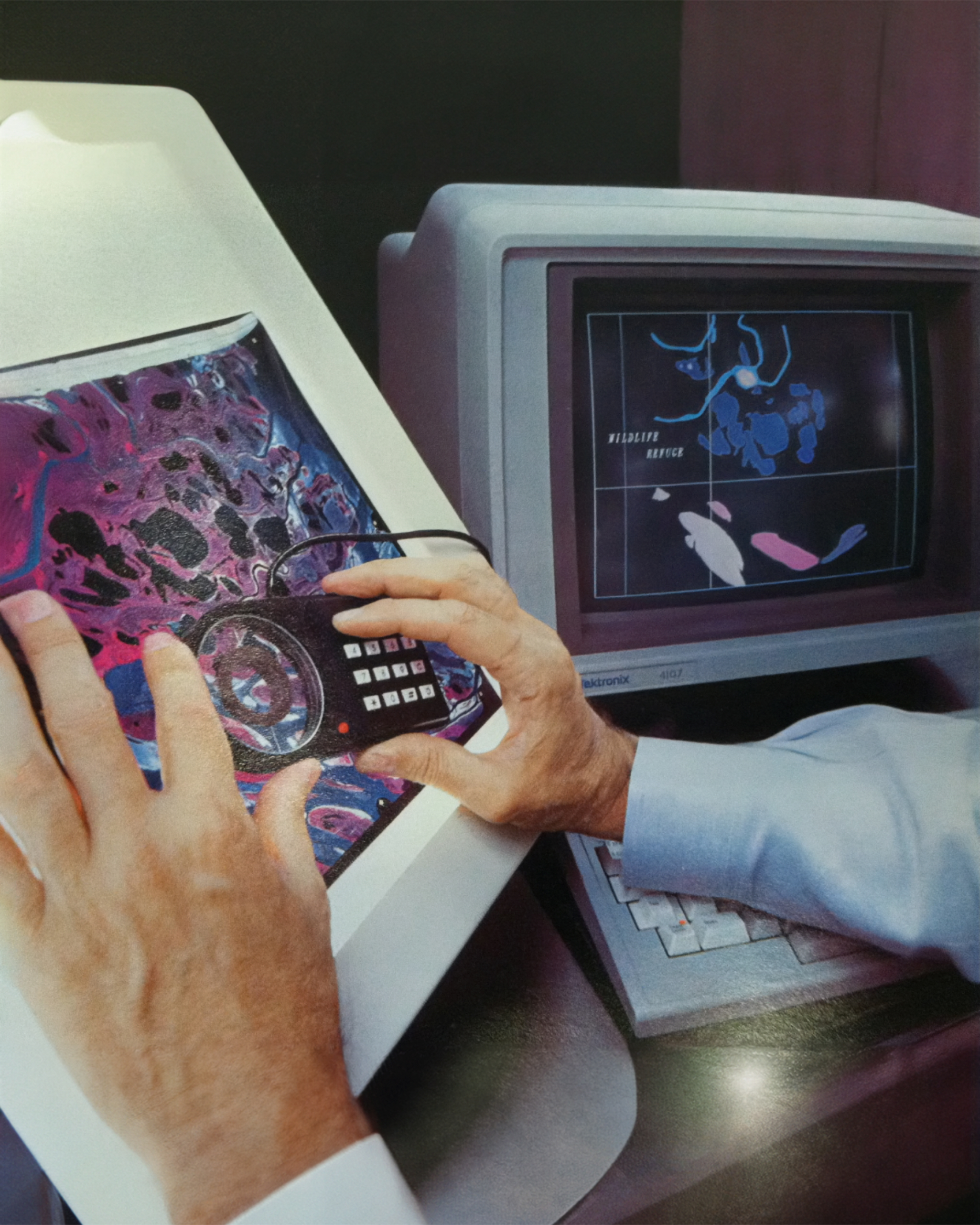
History of GIS

Timeline of the evolution of GIS

Many people, organizations, and technology advancements. Many people, organizations, and technology advancements.

Technical support; support status general availability

Technical Support

Support status: General Availability

General Availability
Nov 2023–Next release
Mature

Retired

Create a caseincludedincludednot included
Phone and chatincludedincludednot included
Online support resourcesincludedincludedincluded
Software updates and patchesincludednot includednot included
New environment certificationsincludednot includednot included

Esri is a pioneer in GIS

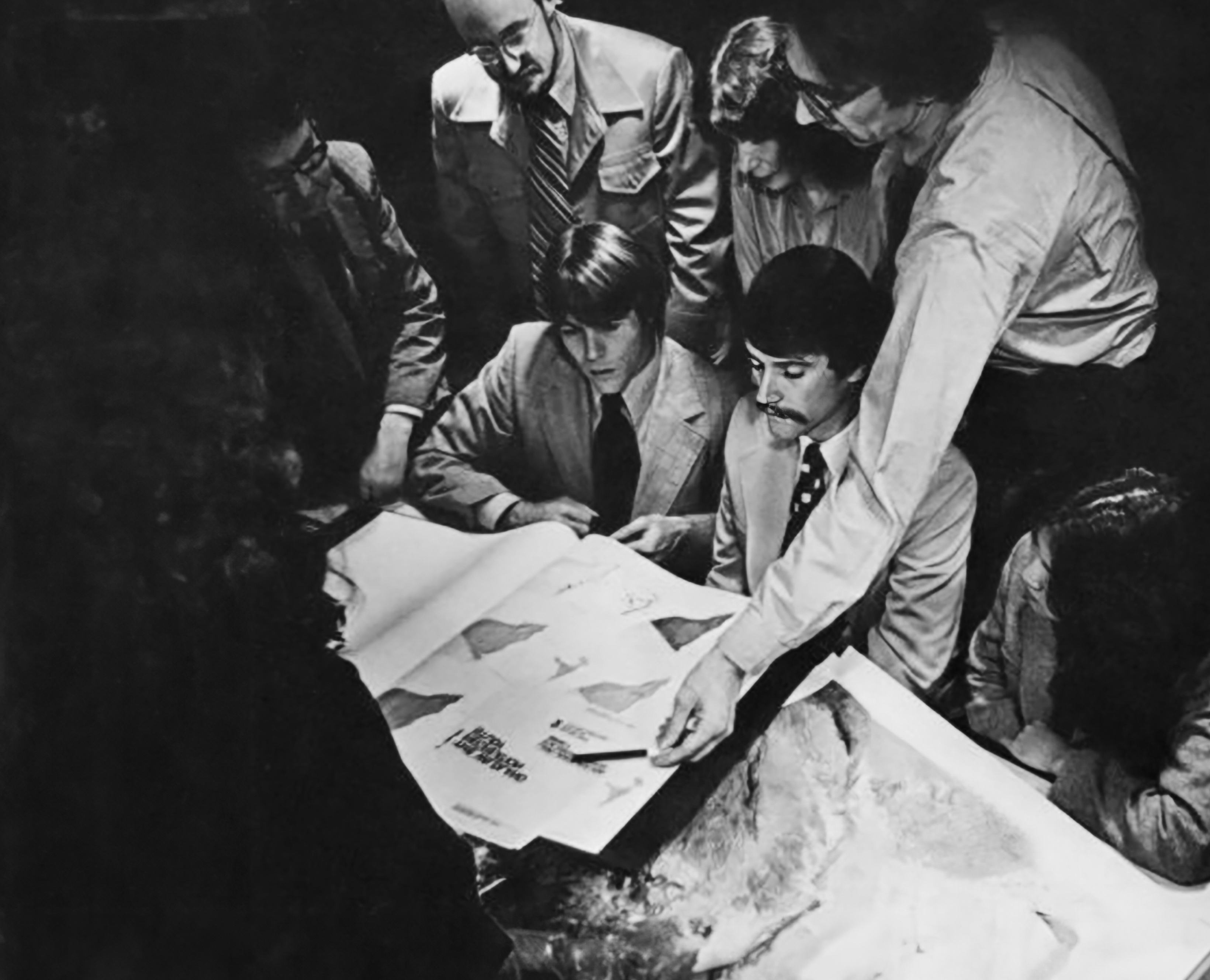
Since its founding in 1969, Esri has played a vital role in the creation and development of geographic information system (GIS) technology, now widely used by businesses and governments all around the world.

Early projects proved the value of GIS for solving real-world problems, with a focus on balancing economic and environmental interests that has only grown in importance. Esri pioneered some of the first GIS products, and the company’s flagship software, ArcGIS, continues to be the market leader. 

Esri’s commitment to research and development has been critical to advancing the field of GIS alongside every technological milestone.

About Esri