The ArcGIS Imagery MOOC opens on August 26. You can register through September 9.

An abstract design featuring intricate contour lines in shades of purple and blue against a black background.

GIS for Climate Action Courses

ArcGIS training for all skill levels

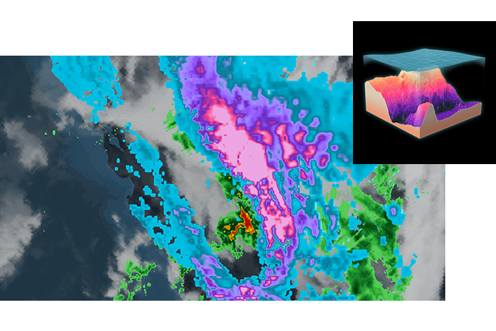
A 3D weather map displaying ocean depth with colored overlays, illustrating various weather patterns and ocean floor topography

Keep growing your skills

Sign up to get one year of low-cost access to ArcGIS software plus unlimited access to all Esri e-Learning.

coming

Talk with a training expert

Have questions or need help? Fill out the form to get in touch with us.