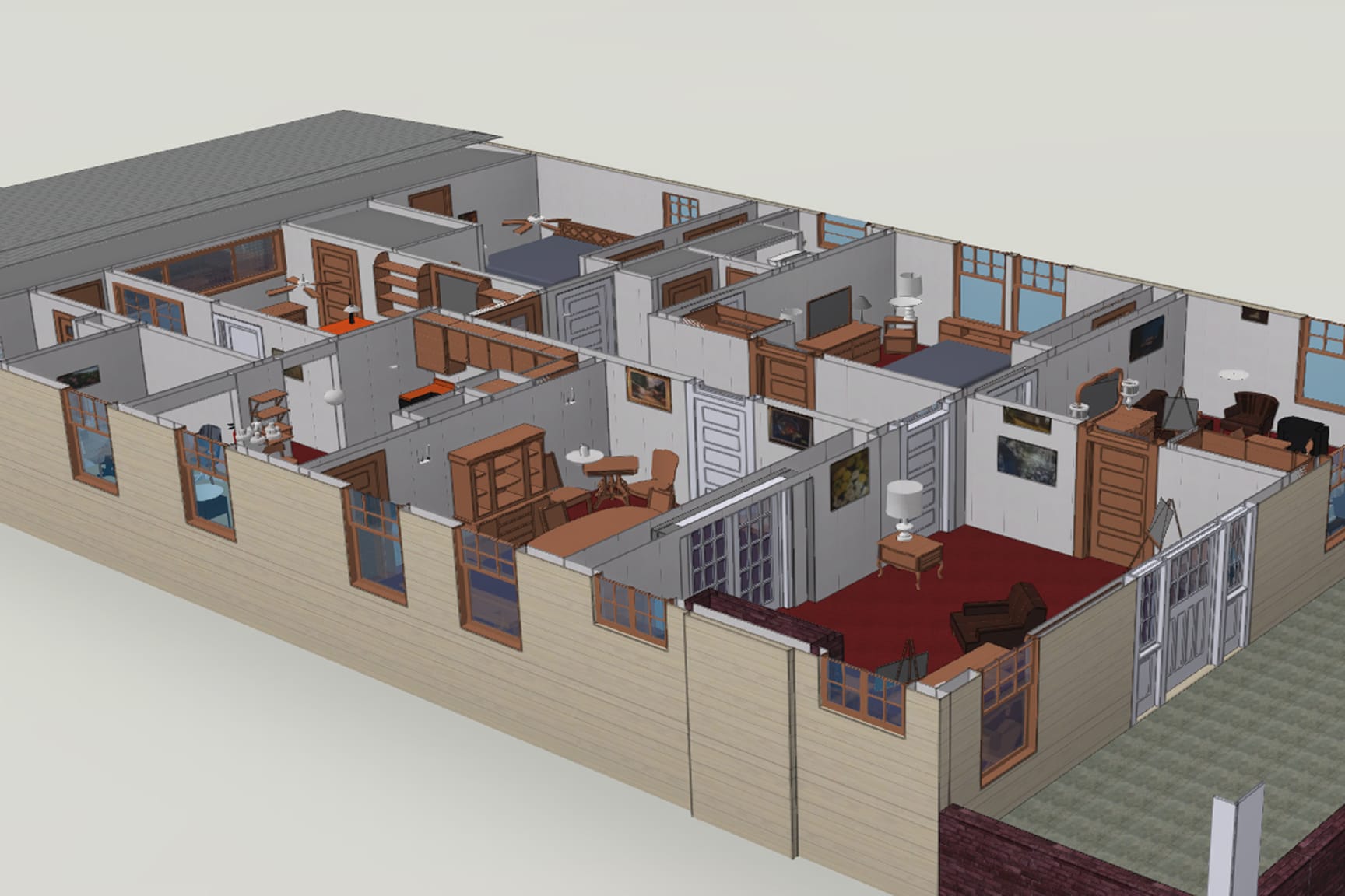
Learn how The Henry Ford is using Esri technology and ArcGIS Indoors to become a smart campus. See how geospatial tools like lidar, 3D BIM, and drone mapping are transforming facility management and visitor engagement. You’ll gain insights for modernizing your own campus or institution with GIS.