Esri webinar on demand
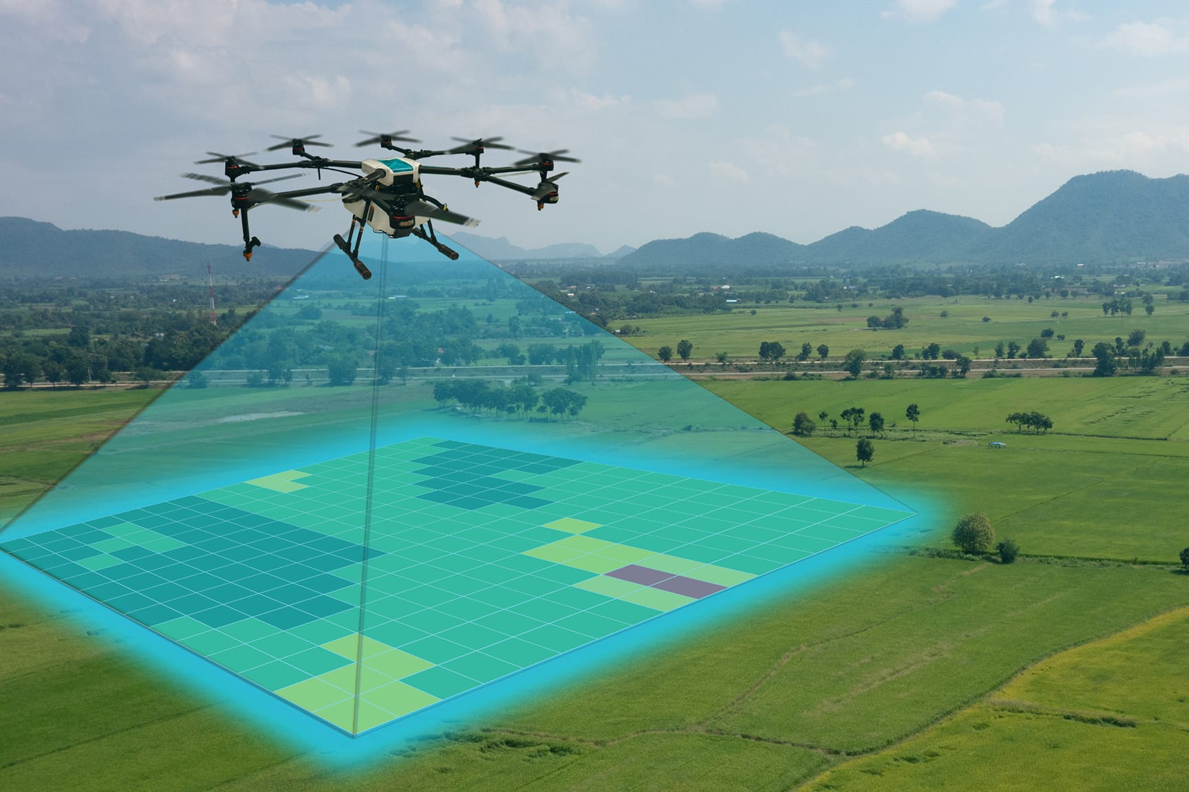
Drone skills are about more than just flying. Increase student capability by combining flight skills with data mapping and analysis. See how drone data is brought into ArcGIS and used for analysis in student projects.