Join us for the launch of Esri’s new Geospatial Enablement Program, which offers discounted ArcGIS licensing to resource-constrained government entities, enabling the advancement of geospatial tools for better governance and service delivery. We will provide an overview of how geospatial infrastructures have been successfully implemented within government structures. Our guest speakers will provide valuable insights into best practices and the tangible benefits that geospatial infrastructures bring to government entities working in resource-constrained environments.
Speakers
Olivier Cottray
Director of Humanitarian Solutions, Esri
Tim Fella
Manager - Geospatial Authorities , Esri
Jo-Ann Keenswijk
Manager of the Social Statistics Division at the General Bureau of Statistics, Suriname
Leslie J. Hodge
Director of Lands & Surveys, Anguilla
Previous
Next
What you'll learn
What’s included in Esri’s Geospatial Enablement Program
Examples of successful implementations in official statistics and land administration
How you can leverage the geospatial enablement program for your organization
Register for this series
Past or related webinars
National Disaster Risk Management
Geospatial Enablement Program
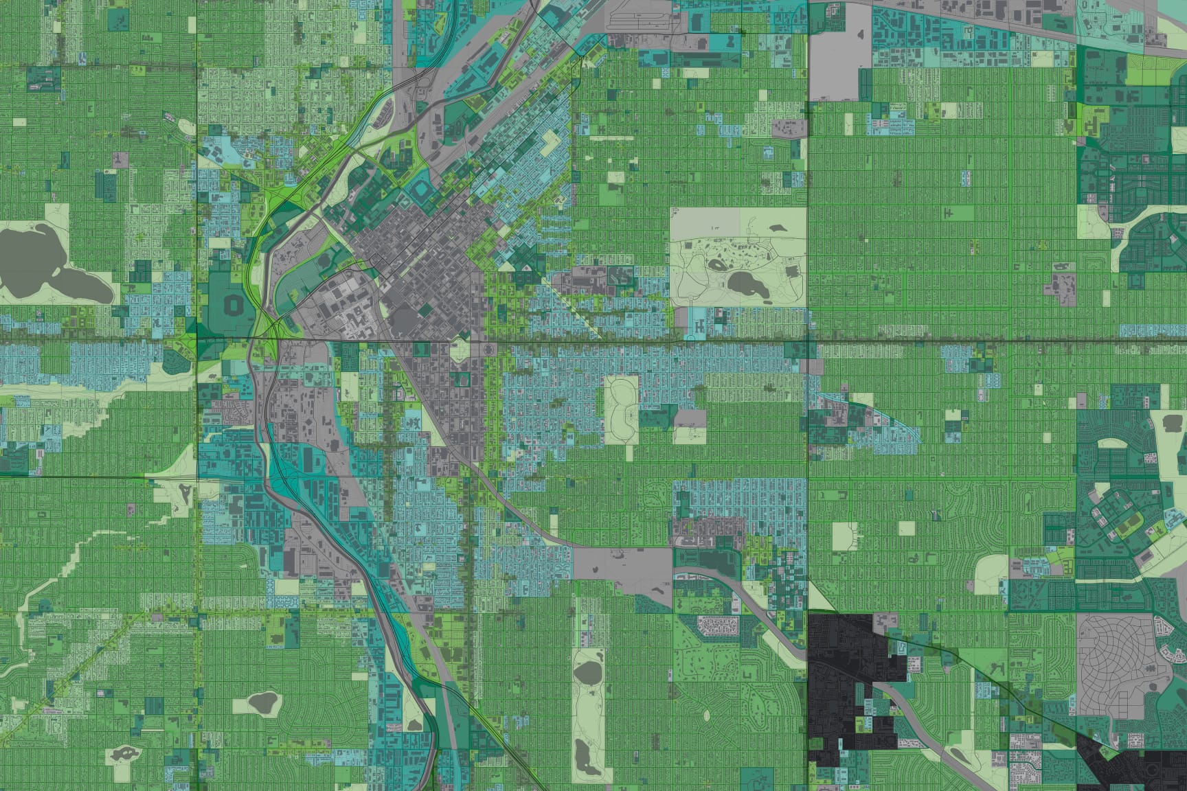
Learn how geospatial technology can support the mandates of National Disaster Management Organizations across the disaster risk management cycle.