
Kate Hess
Global Business Development Manager, Official Statistics, Esri


Global Business Development Manager, Official Statistics, Esri

National Government Solution Engineer, Esri

Modern census field operations demand efficient approaches to data collection. Explore how GIS enhances digital field collection workflows to support a complete and accurate census count.

Discover how GIS is being applied to register-based census methods and administrative data to improve accuracy and operational efficiency. Learn how organizations are leveraging existing data sources to produce stronger statistical outcomes.
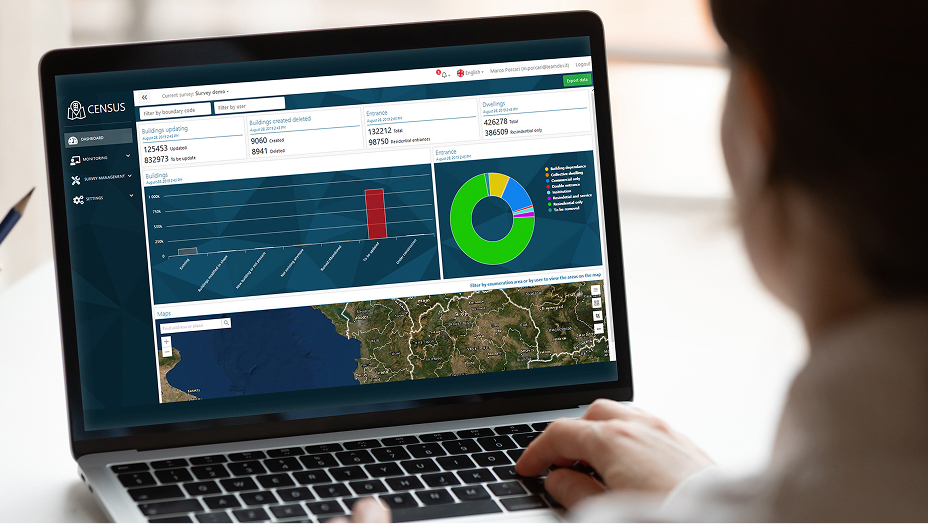
Learn how GIS can connect your census operations, tools, and reporting into a single, coordinated workflow. Gain insights into how real-time visibility and integration are improving decision-making and outcomes across the enumeration process.
Registration is coming soon.