Skip to Content

GIS and Official Statistics: Modernizing Statistics with Location

Register now
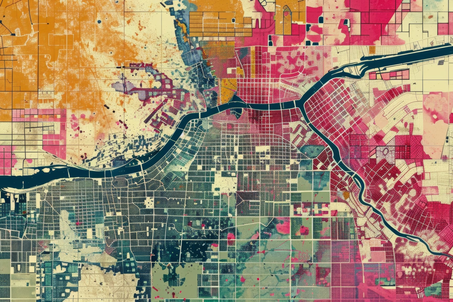
Satellite map with grid pattern showing urban development in pink, orange, and blue-green zones around a river

Series overview

Join our team of experts to better understand the benefits of statistics and geospatial integration.  This series will start by covering modern data dissemination with a look at ACS data, followed by data science, spatial analytics, and AI. Learn the latest GIS techniques and best practices.

What you’ll learn

  • Effective ways to prepare data using GIS for impactful results 
  • Methods for sharing information that’s easily accessible and discoverable 
  • Strategies to apply these techniques in your organization

Explore webinars in this collection

To attend multiple webinars, you must register for each one individually.

Previous
Next