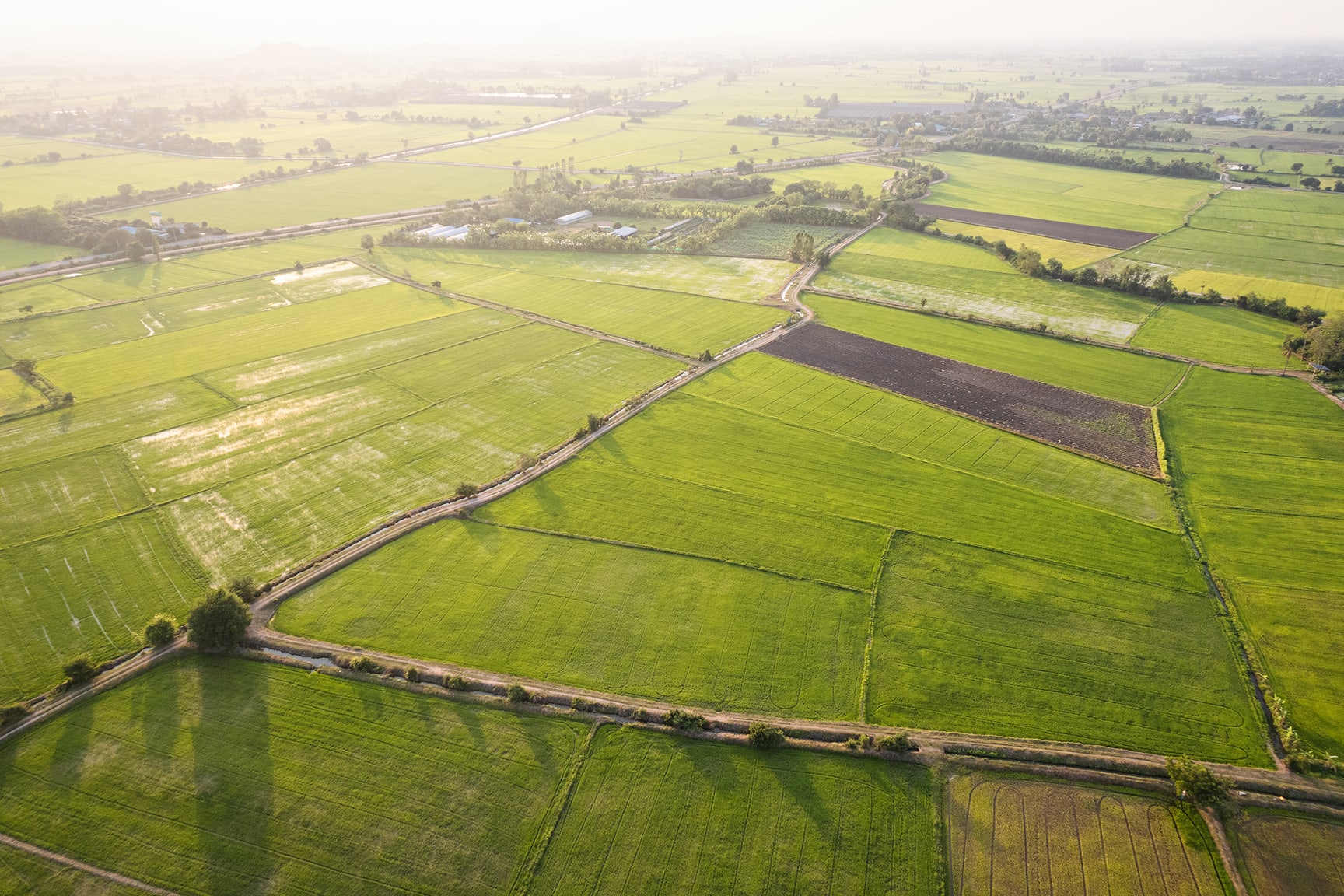
Agriculture continues to evolve with better access to data and tools like ArcGIS. In this webinar, we’ll walk through how geographic information system (GIS) technology supports real agricultural workflows, including yield prediction, risk assessment, land-use analysis, and supply chain visibility. The focus is on practical applications you can use to improve decisions and day-to-day operations.