Skip to Content

Spatial Intelligence for Critical Marine Minerals

September 16, 2026 | 10:00 AM–11:00 AM (PT)

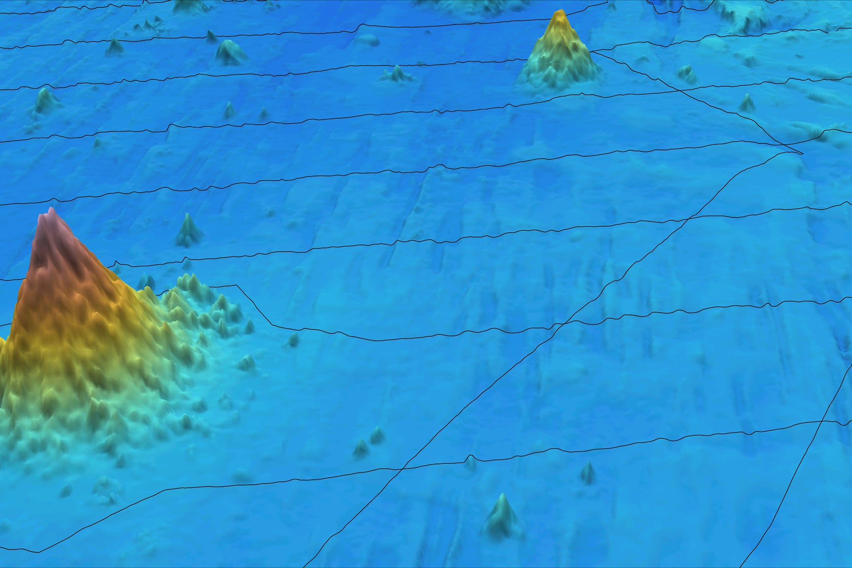
3D bathymetric map showing seafloor terrain and under water

Spatial intelligence for critical marine minerals

Join Esri for a webinar exploring the American Samoa project. Learn how ArcGIS helps integrate, analyze, and visualize seabed data to support science-based decisions for critical marine mineral exploration.

Speakers

Previous
Next

What you'll learn in this webinar

Join this webinar to learn how ArcGIS supports critical marine mineral exploration through the American Samoa project. Explore real-world workflows for working with seabed data and supporting science-based decisions. 

  • Understand the critical marine minerals life cycle and why it matters
  • Explore seabed data and the ocean environment through ArcGIS demonstrations
  • See Ground Model for ArcGIS Pro in action with subsurface data
  • Learn how connected workflows support science-based decisions 

Register for the webinar

Submitting this form registers you for this webinar only. To attend more or all webinars in this collection, you must register for each one individually.

Outside the United States