Modernizing Field Data Collection
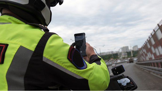
In part one of our webinar series, we discuss expediting field data workflows with mobile apps. Learn how to quickly capture, edit, and share data from the field to support real-time and decision-making.

An Esri On-Demand Webinar Series
Explore the series
In part one of our webinar series, we discuss expediting field data workflows with mobile apps. Learn how to quickly capture, edit, and share data from the field to support real-time and decision-making.
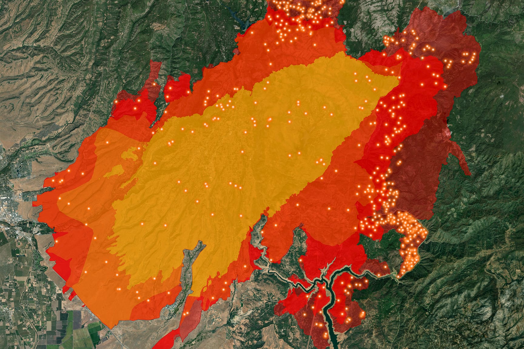
In part two of our webinar series, we discuss how digital mobile workflows deliver real-time data to on-scene resources and decision-makers, enhancing safety and accountability through resource location tracking with a real-time common operating picture.

In part three of our webinar series, we focus on the capability to collect GIS features in real time, add video files to GIS applications, and process data efficiently in a connected or disconnected environment to support your agency’s decision-making process.

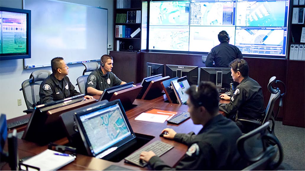
In the final part of our webinar series, discover an all-inclusive command and control software integrated with a mobile app that enables your tactical operations to be at their best when stakes are the highest.