Play the webinar recording
Resources
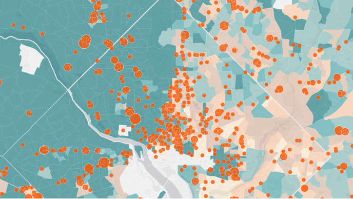
Public works and engineering professionals are leading the modernization of their organizations through the power of place. Geographic information system (GIS) technology is highlighting how maps truly help run the world.
Previous
Next
Related webinars
The Next-Generation of Public Works webinar series delivers the business value of ArcGIS applications for state and local government public works agencies. Industry experts and users of this innovative technology demonstrate success for you to replicate in your organization.
Previous
Next


