ArcGIS AI Assistants
ArcGIS AI Assistants: Your smart shortcut to powerful GIS—just ask and let natural language do the mapping magic.
April 29, 2026 | 2:00 PM–3:00 PM (CT)


To attend multiple webinars, you must register for each one individually.
ArcGIS AI Assistants: Your smart shortcut to powerful GIS—just ask and let natural language do the mapping magic.
April 29, 2026 | 2:00 PM–3:00 PM (CT)

Discover how organizations use ArcGIS Monitor to protect their enterprise GIS investments, reduce costs, and improve openness.
March 25, 2026

Learn how the ArcGIS Field Maps app’s new Tasks feature improves fieldwork for organizations by incorporating to-do lists and encouraging teamwork and productivity among field staff.
February 25, 2026

Join us to learn about our upcoming plans, goals, and initiatives for the year.
January 28, 2026

Join us as we wrap up 2025 and reflect on the strides made in geospatial technology, looking forward to an even more impactful future.
December 17, 2025
Join us as we highlight the ability to create dynamic, customized web applications tailored to unique user needs.
November 12, 2025
Join us as we dive into the transformative power of ArcGIS Indoors for managing and navigating indoor spaces. ArcGIS Indoors enables organizations to visualize, analyze, and optimize interior environments, enhancing productivity and improving space utilization.
October 29, 2025
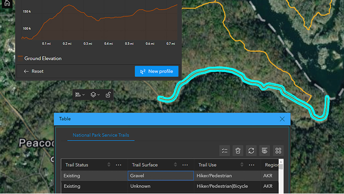
Join us as we showcase the power of real-time data visualization for informed decision-making.
September 24, 2025

Join us as we explore the world's largest GIS conference and uncover the latest innovations and insights on making a global impact across various disciplines.
August 20, 2025

Join us at the upcoming micro-region event designed to enhance your experience at Esri UC 2025.
June 18, 2025

Join us in exploring how ArcGIS can help your organization provide an integrated approach to ensure communities are well equipped for rapid, informed, and coordinated hurricane response.
May 21, 2025
Discover why ArcGIS Pro is an essential component of your ArcGIS system. Join us to explore its foundational role and learn how it can enhance your geospatial capabilities.
April 23, 2025

Join us as we explore the evolving role of imagery and its derivatives generated by drones in various applications.
March 26, 2025

This event highlighted the importance of modernizing your environment and utilizing network management with ArcGIS. We addressed challenges such as outdated technology and provide solutions for data integrity, asset modeling, emergency response, and system analysis.
February 19, 2025

Celebrating the start of 2025 with a focus on advancing into the future alongside our customers.
January 22, 2025

Join the Esri San Antonio state and local government team members as they close out 2024.
December 17, 2024

Discover how Esri field apps are transforming field operations and check out a firsthand account from a customer using these tools.
November 6, 2024
Discover how Pflugerville, Texas, is using a web app to increase public transparency.
October 16 , 2024

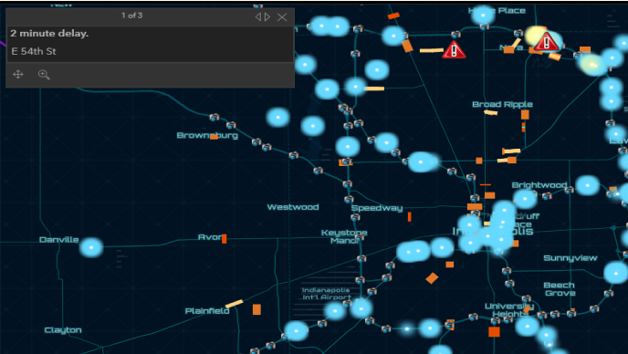
Learn how Frisco, Texas, realized its vision for Situational Awareness for Emergency Response (SAFER) by developing an in-house geospatial platform.
September 11, 2024

Explore the largest GIS conference, discovering Esri's innovations and insights into global impact across disciplines.
August 15, 2024

Join us at the upcoming micro-region event in June and discover valuable tips and tricks to maximize your time in sunny California.
June 6, 2024

Manage evacuations, assess impact, and coordinate emergency services. Explore the latest in the Emergency Management Operations solution for enhanced hurricane response.
May 23, 2024

Explore Python & GIS decoding TxDOT collision data, revealing insights for safer roads. Gain strategies for informed decision-making in transportation.
April 16, 2024
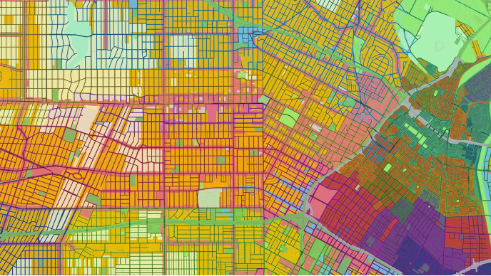
Explore Esri's ArcGIS Parcel Fabric and discover how it is revolutionizing land administration. This advanced tech empowers organizations to create, manage, and share land rights. Learn from a firsthand account of a customer's journey with Parcel Fabric and its transformative impact on their organization.
March 28, 2024

Leveraging GIS to make data-driven decisions, managing, and responding to natural events like the upcoming 2024 total solar eclipse is a proactive and effective approach to keeping citizens safe. In this Micro-Region learn how your Esri San Antonio team can assist you.
February 29, 2024