Skip to Content
Wetland Identification Model image

Using ArcGIS to Tackle Your Non-Revenue Water (NRW) Challenges

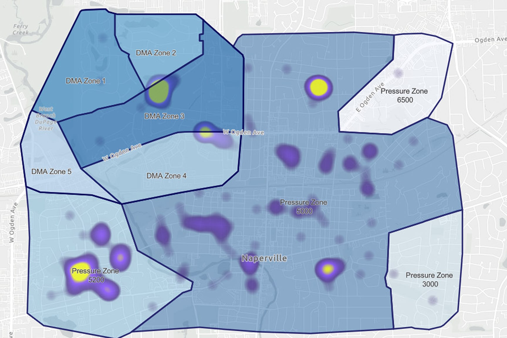
A city map displays multiple delineated zones labeled as DMA Zones and Pressure Zones, with numbers such as 6500, 3500, and 3000 clearly visible.

Webinar overview

In this webinar, we explored how ArcGIS helped utilities detect leaks, map infrastructure, and analyze non-revenue water (NRW) data in real time, turning spatial insights into actionable water conservation and smarter network management.

Access the recording