
Jerad King
Product Engineer, Esri
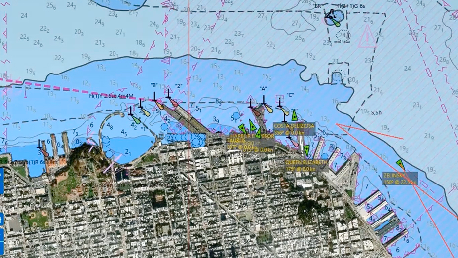
Jerad King is focused on the development of software for producing Electronic Navigational Chart data and high-velocity maritime data, including International Hydrographic Organization (IHO) S-100 products for surface currents, water levels, and navigational warnings. Before joining Esri, he built enterprise GIS infrastructure and conservation applications supporting cetacean and sea turtle restoration. King is passionate about applying GIS to deepen our understanding of the marine environment for a safer, more sustainable tomorrow.