
Skip to Content

Responding to Our Changing Coastlines: Ocean Mapping Tools & Workflows with Esri and TCarta

Tuesday, January 12, 2027 | 9:00 AM (PST)

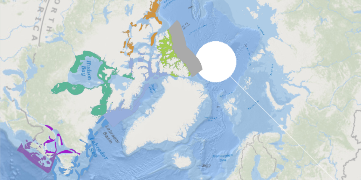
Map illustration shows the Arctic region with surrounding landmasses and ocean areas.

Modern Tools and AI Techniques for Managing Coastlines

Join Esri and TCarta for a focused workshop demonstrating how AI-based shoreline extraction models and S-100 tools can be used to improve coastal resource planning in vulnerable communities.

Speakers

Previous
Next

What you’ll learn in this webinar

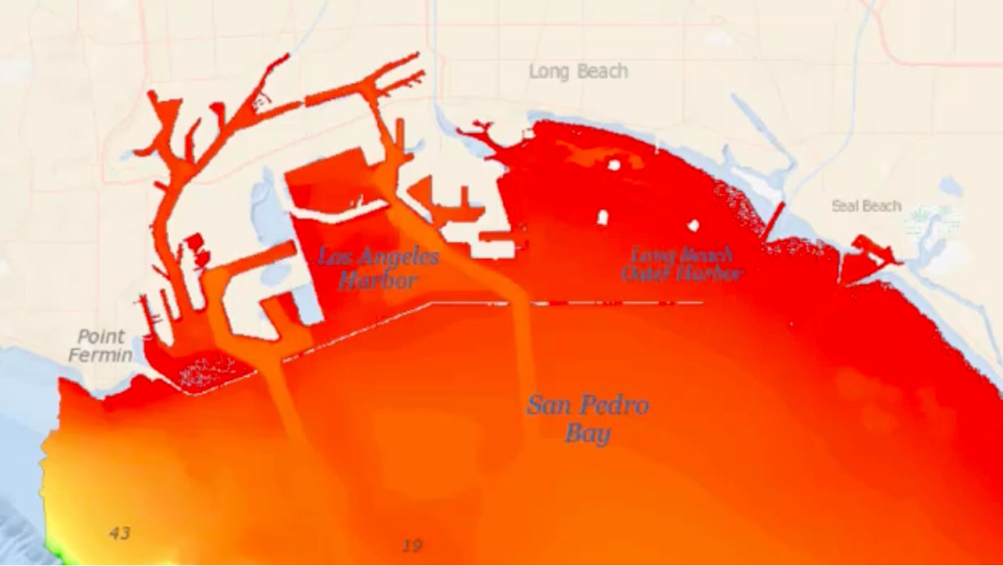
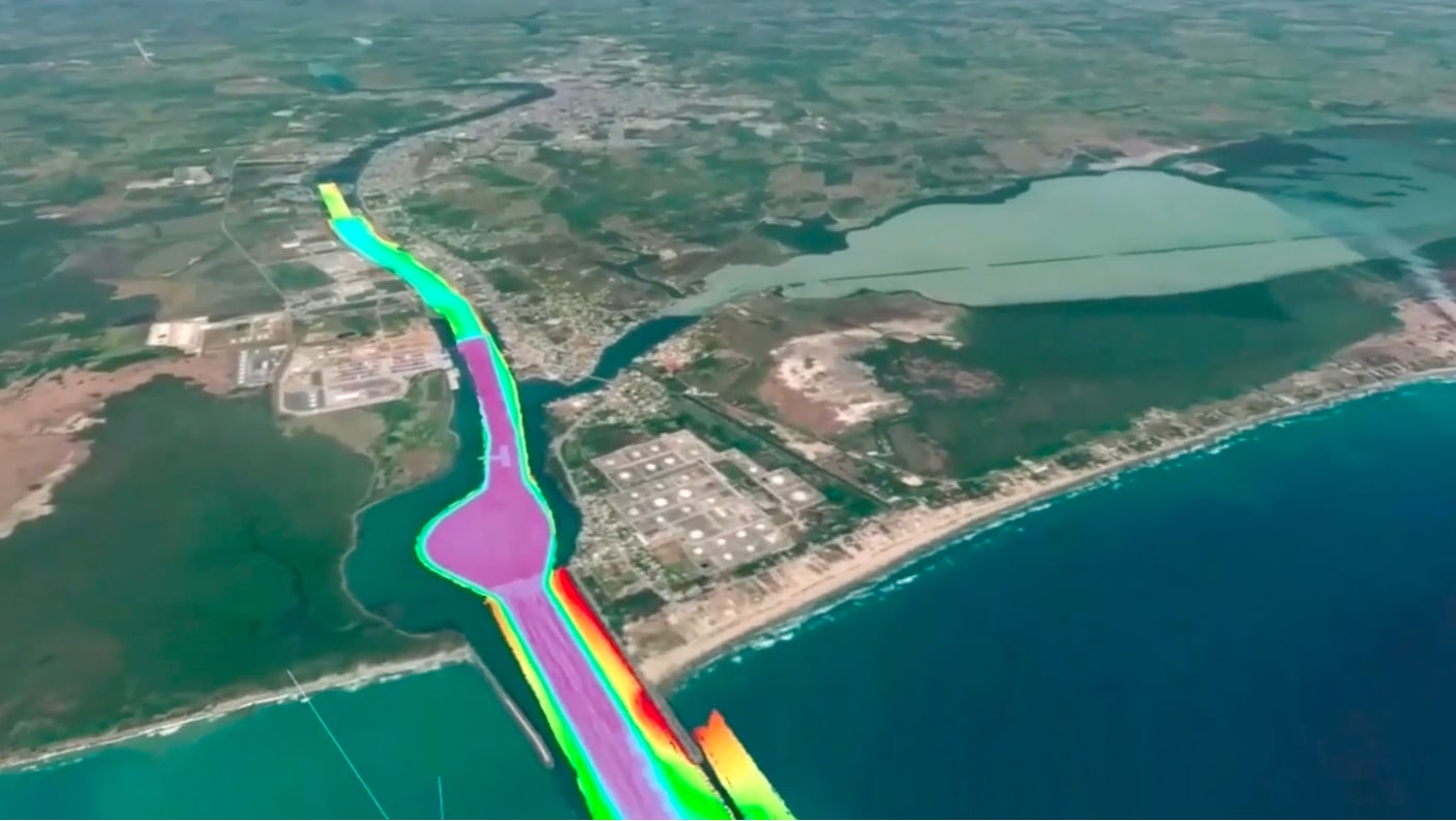
TCarta and Esri will present synthetic aperture radar (SAR), optical satellite imagery, and hydrographic data integration workflows that support coastal resource planning for remote communities, enable rapid response to natural disasters, model coastal inundation impacts, and produce S‑102–compliant and up‑to‑date nautical cartography products. 

This is a beginner-level presentation. Attendees do not need prior knowledge of ArcGIS Maritime.

Explore related content

Previous
Next

Register for the webinar

Submitting this form registers you for this webinar only. To attend more or all webinars in this collection, you must register for each one individually.