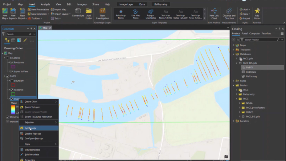
Add Point Data to Bathymetry Information System
Learn about the Add Point Data to BIS tool that supports valid input data types to include any type of spatial elevation point data.


Learn more about ArcGIS Bathymetry by exploring these tutorials.
Add Point Data to Bathymetry Information System
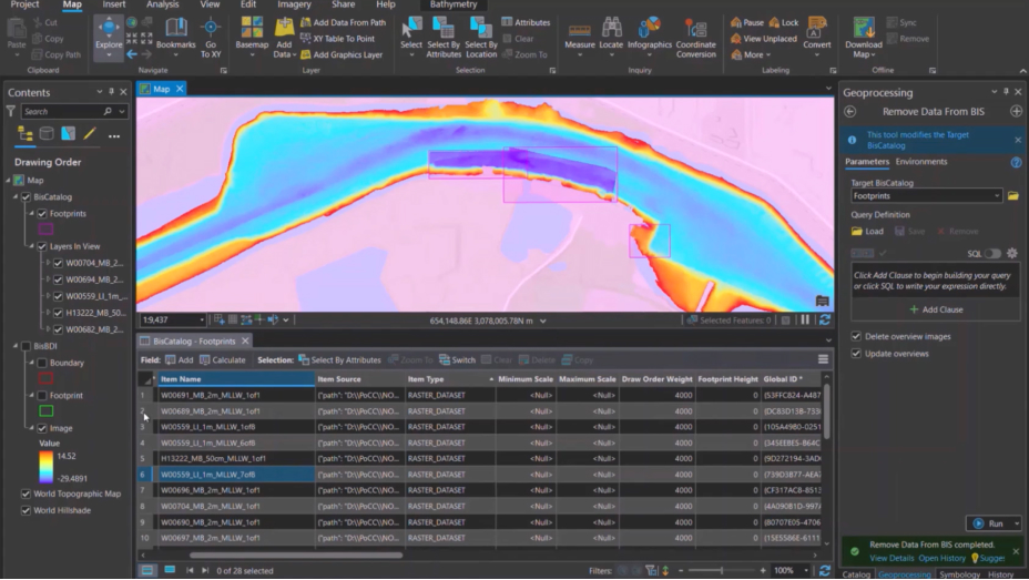
Remove Data from Bathymetry Information System
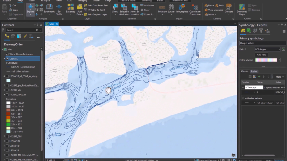
Sounding and Contours Workflows