This new map book includes 125 full-color maps produced by more than 30 federal government agencies.
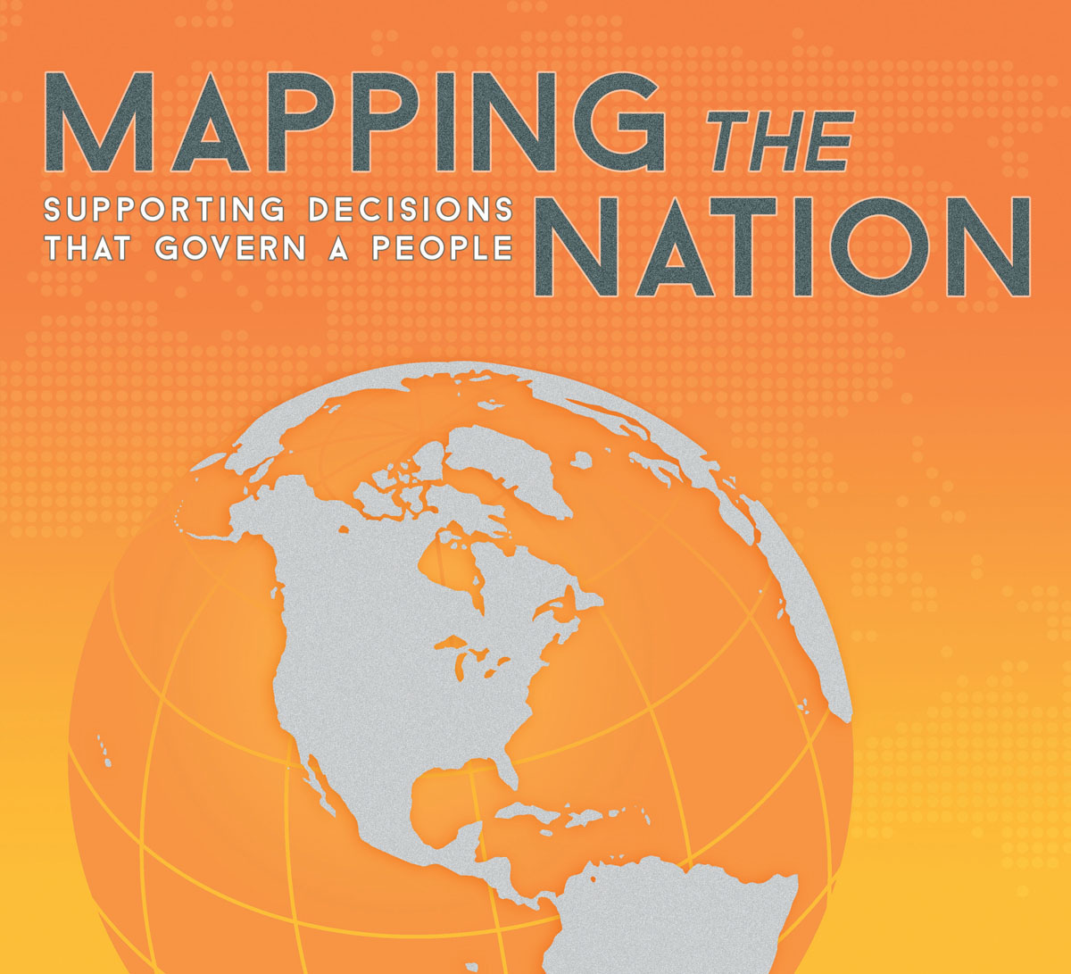
Redlands, California—Fourth in Esri’s "Mapping the Nation" series, Mapping the Nation: Supporting Decisions that Govern a People demonstrates how geographic information system (GIS) technology is being used by the United States federal government to evaluate and respond to social, economic, and environmental concerns at local, regional, national, and global levels. GIS technology provides visualization and analysis of an agency’s data for better decision making in almost every aspect of federal government.
The print version of the book includes 125 full-color maps produced by more than 30 federal government agencies, including the US Department of Agriculture, US Department of Defense, US Department of Health and Human Services, and others. The digital version of Mapping the Nation offers an interactive experience, allowing the viewer to zoom in for more detail or quickly access the live, online version of select maps.
The maps depict how federal employees and officials use GIS to facilitate initiatives, improve transparency, and deliver strong business models. Highlighted work includes "Potential Areas Suitable for Forest Restoration Projects," "Small Area Income and Poverty Estimates," "Post-Superstorm Sandy Elevation Differences and Beach Volume Change," "Global Spread of Disease Caused by International Travel," "The Hazard of Melting Permafrost for the Alaskan Natives," and "Health Care Safety Measures for the Veterans Health Administration."
"This volume of Mapping the Nation, our annual federal map book, is filled with excellent maps and applications that vividly convey the power and accessibility of GIS," says Jack Dangermond, Esri president. "In these pages, you will see how great cartography can help tell compelling stories, how GIS is advancing science across multiple disciplines, how the government relies on GIS for planning and managing, and how this era of big data presents limitless opportunities to transform our nation and our world."
Mapping the Nation: Supporting Decisions that Govern a People (ISBN: 9781589483477, 144 pages, US$19.95) is available at online retailers worldwide, at esri.com/esripress, or by calling 1-800-447-9778. Outside the United States, visit esri.com/esripressorders for complete ordering options or visit esri.com/distributors to contact your local Esri distributor. Interested retailers can contact Esri Press book distributor Ingram Publisher Services.
Mapping and Apping the Nation 2014,an interactive digital adaptation of the printed map book, is available free of charge from the Esri Bookstore app on Apple iTunes and the Google Play store.
