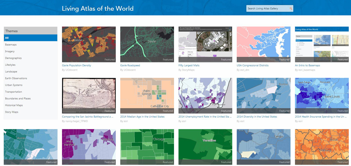
This is an example of content available in the Living Atlas Gallery.
Redlands, California—The Living Atlas of the World, Esri’s digital atlas, won three major cartographic awards at the International Map Industry Association’s (IMIA) recent conference in Denver, Colorado.
The IMIA is an international organization composed of regions. Each region presents awards for excellence in several different categories that ultimately lead to the best overall map product. The three best overall regional winning entries are then considered for the prestigious Global Product Award.
This year, Esri’s Living Atlas of the World captured the Global Product Award and two regional prizes including the Americas Region Best Digital Product and Best Overall Product. The atlas provides an interactive collection of maps, apps, and tools that includes basemaps, imagery, demographics, urban systems, and historical maps.
“The atlas represents an easily accessed marriage of digital location-based data with graphic mapping,” said John Hammer, president of the International Board of the IMIA. “The growing facility to access large databases in the cloud and present them using digital media represents much of where mapping is going today.”
“By any measure, ArcGIS Online is growing and expanding rapidly into a comprehensive GIS of the world, where all layers and extents of information are made accessible,” said Clint Brown, Esri director of product engineering. “This growth and reach of GIS is powered by the Living Atlas of the World—the collection of online maps, intelligent geographic data layers, advanced analytical tools, and custom applications that are shared by all of our users. These contents are powering the use of GIS throughout organizations and communities worldwide.”
The Living Atlas of the World allows users to explore maps in its Living Atlas Gallery that were created by Esri and thousands of other organizations that are part of the ArcGIS user community. These maps can be enriched with the user’s own data, resulting in the continual creation of new map layers. Existing content can be quickly updated through hosted cloud services so that the atlas is always up to date. Many of the layers in the atlas, such as real-time traffic data, recent earthquake information, and hurricane trajectory paths, are dynamic and updated on a minute-by-minute basis.
The Living Atlas of the World can be explored with the included map viewer or Esri’s ArcGIS for Desktop software.
Explore the Living Atlas of the World at arcgis.com.