Create engaging map experiences
Deliver intuitive and powerful experiences across your solutions and AI workflows driven by Esri’s authoritative location services. Explore context and make decisions with maps that bring data to life.
Location intelligence for your apps, business systems, and AI-powered solutions
Access location services, mapping APIs, SDKs, and MCP support for AI via platform as a service
Interactive map
Discover how trusted location intelligence can power what you build. Explore a destination, enrich it with context, and find the optimal route to get there.
Whether you’re at a tech company building products or enhancing your own solutions, location data helps organizations uncover opportunities, evaluate investments, improve operations, and assess risks.
Create your account and take advantage of the free monthly usage allowance to access all the features and services of ArcGIS Location Platform. Then, only pay for the services you use.
Features of ArcGIS Location Platform
Give your apps, business systems, and AI-powered solutions the location capabilities to find places, understand context, analyze data, and support better decisions.
MCP Support for Agentic AI
Confidently and securely connect AI systems to ArcGIS Location Services using Esri’s Model Context Protocol (MCP) server and Location Platform.

Location services
Access the most comprehensive location services and ready-to-use maps available—trusted by leading companies like Amazon Web Services and Salesforce. Easily embed mapping and analytics features into your apps, business systems, and products.
Learn more about basemaps and mapping services, geocoding, and routing.

Mapping APIs and SDKs
Build powerful, fully featured mapping apps using Esri’s SDKs and APIs. Access comprehensive documentation, mapping API references, tutorials, and downloads to accelerate development from prototype to production.

Data hosting services
Securely host data in the cloud using ArcGIS data services to maintain location information for your applications in a centralized place.

Spatial analysis services
Get access to a curated collection of sophisticated spatial analysis tools you can integrate into your interactive maps and apps.

Companies across industries use ArcGIS Location Platform to access premier mapping and location services for their desktop, web, and mobile apps; business systems; and products.














Discover how organizations from emerging startups to multinational corporations leverage ArcGIS Location Platform to unlock the full potential of their data and gain a competitive edge.
President and CEO, Airspace Link
“ArcGIS Location Platform has been essential in building Airspace Link’s AirHub Portal, the leading Esri-centric solution for safe and efficient drone operations and management.
By leveraging the high-quality basemaps in ArcGIS Location Platform and the precise address searching and data enrichment capabilities, we empower our more than 100,000 users to manage complex drone missions more confidently.”
Vice President of Product Management, Dataminr
“Esri and Dataminr have established a strategic partnership to bring significant joint value to public sector customers. Switching to ArcGIS Location Platform in our First Alert offering transformed how we deliver real-time threat intelligence to these organizations.
High-quality basemaps, precise geolocation capabilities, and seamless integration allowed us to elevate the situational awareness our customers experience directly within First Alert—giving them the geographic context they need to act faster when it matters most.”
Product Manager, Crexi
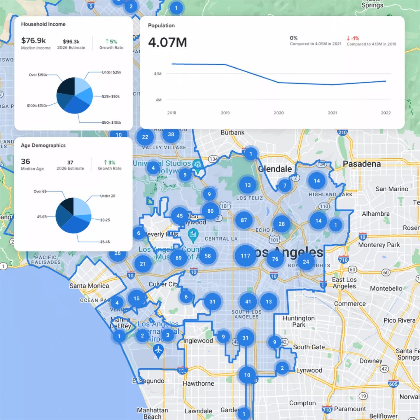
“By integrating Esri’s geolocation data using ArcGIS Location Platform into Crexi’s Intelligence subscription, users gain the ability to leverage information for any block group across the nation.
This valuable data can be accessed directly from a specific property listing or viewed in aggregate on a map, alongside other Intelligence data. This comprehensive approach empowers commercial real estate professionals to make informed decisions.”
Senior Vice President of Product Management and User Experience, OpenGov
“ArcGIS Location Platform has transformed our Cartegraph Asset Management software solution by enhancing its spatial analysis and mapping capabilities. This integration allows users more effective visualization and management of their assets, improved decision-making, and operational efficiency.
The platform’s robust capabilities enable users to easily share and analyze complex data, significantly benefiting their organization by streamlining workflows and increasing productivity.”
Access to ArcGIS Location Platform includes much more than GIS software. Depend on Esri’s decades of experience and proven expertise helping people succeed with GIS.
ArcGIS Location Platform is a platform-as-a-service (PaaS) for businesses and developers who need to integrate location capabilities into their apps, business systems, and products. ArcGIS Location Platform gives developers access to Esri’s powerful location services using a pay-as-you-go business model where they only pay for the services used. It also enables developers to create apps and solutions using ArcGIS Maps SDKs and open-source APIs.
ArcGIS Location Platform offers a suite of location services that fall into the following categories:
All available services are listed on the pricing page. To learn how to use each service in your apps and solutions, visit mapping and location services.
An ArcGIS Location Platform subscription is free—there is no cost to sign up. A free tier of service access is provided for many services and operations, including basemap services, places, geocoding, routing, content management (portal service), and hosted data services (feature services, image tile services, and vector tile services).
Beyond the free tier, service transactions are charged in US dollars. See the ArcGIS Location Platform pricing page for individual transaction costs and an estimator.
Yes, as long as you have an ArcGIS Location Platform subscription and your solution uses ArcGIS Location Services that are authenticated with an access token generated from your subscription. It is the ideal solution for revenue-generating applications.
Important note: You are required to provide an access token with all ArcGIS Location Services used by your application, including basemaps and geocoding. Refer to the security and authentication guide for additional information.
To learn more, explore the Terms of Use for ArcGIS Location Platform.
The ArcGIS Location Platform subscription is a free subscription provided to users who sign up for an ArcGIS Location Platform account on location.arcgis.com.
The free subscription includes:
For the complete list of everything included with your ArcGIS Location Platform subscription, review the help documentation.
ArcGIS Location Platform is provided under a nonexclusive, nontransferable subscription agreement. Key terms include:
Usage rights
Key restrictions
Compliance requirements
Commercial terms
Termination: Either party may terminate with notice. Upon termination, customer must discontinue use and remove all Location Services integration from applications.
Free signup is available at developers.arcgis.com. Find all other legal documents pertaining to ArcGIS software on the Esri Legal page.
ArcGIS Location Platform and ArcGIS Online both provide Esri's high-quality location services, mapping tools, and spatial analysis capabilities, including access to the developer experience, APIs, SDKs, and location services. However, they are designed for different audiences and business models.
Key differences include:
ArcGIS Location Platform (PaaS) is designed for developers to
ArcGIS Online (SaaS) is a complete GIS system of record for teams of analysts to
Start a chat
Fill out the contact form