Add your facility
To start, add your facility to the map. To change the style of the facility’s symbol, select the “Location (Single Symbol)” drawing style.
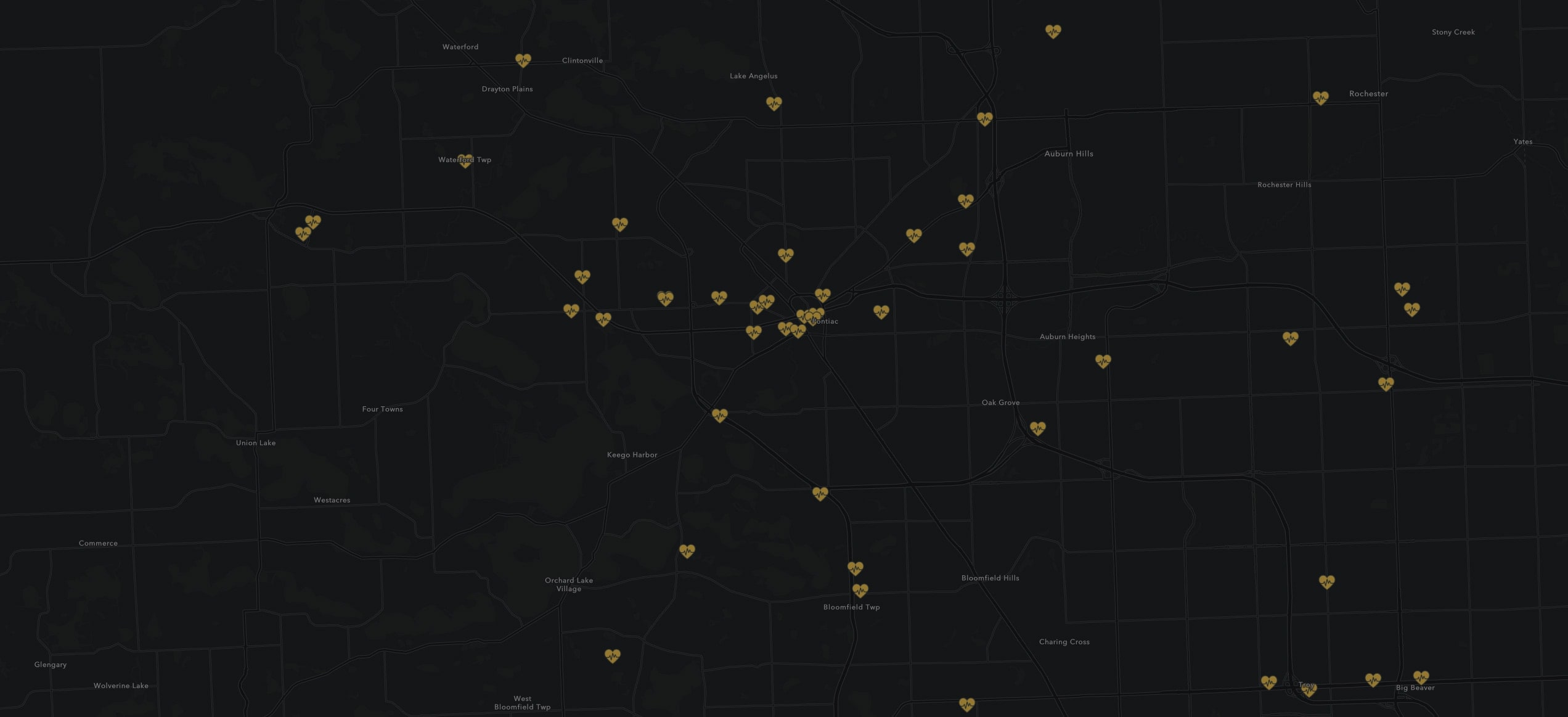
Who is within a short walk of my facility?
The Walkable Location Map is a great way to visualize who has access to your facility on foot. For example, this Health Clinic Map shows who can get to a health clinic within 10 minutes of walking. Discover information about the people living close to your facility by using ArcGIS Online’s “Enrich Layer” tool. It provides many demographic variables to choose from including total population, income, and spending habits.