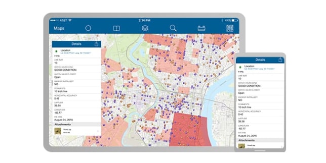
Address Data Management
Maintain an authoritative address repository and continuously improve the quality of address data.

GIS to improve location accuracy in your computer-aided dispatch
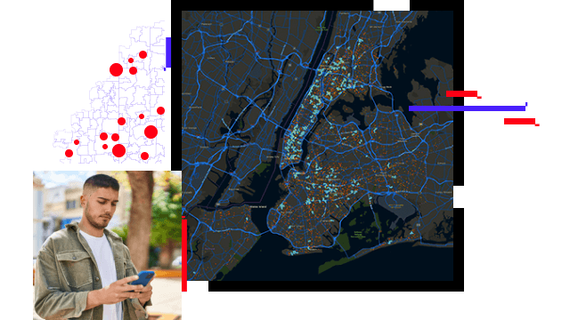

911 emergency calls include GPS coordinates with varying certainties. GIS translates this information into dispatchable addresses that can be reconciled with caller and other location information. Combining this intelligence on maps increases readiness and provides a geographic reference with overall situational understanding.
Share information more efficiently and provide a framework for communication, best practice collaboration, and pertinent training initiatives. ArcGIS Hub for the PSAP provides an easy-to-configure stakeholder engagement platform that organizes people, data, and tools through information-driven initiatives.
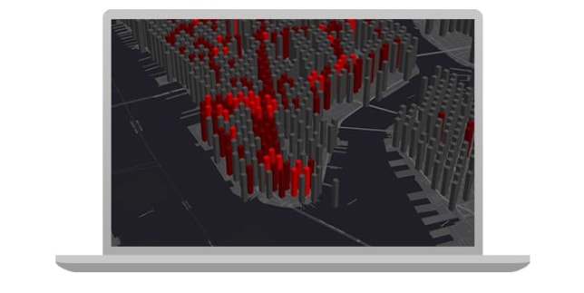
Next Generation911 data will soon incorporate z-axis information (elevation) with GPS coordinates for dispatchers. Maps and applications need to be able to consume, analyze, visualize, and intelligently share 3D information, including building information models (BIM) that provide floor plans, indoor routing, and improved operational understanding.
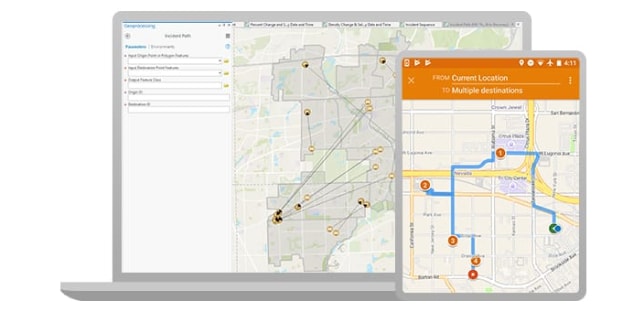
First responders need powerful GIS capabilities at their fingertips to complement computer-aided dispatch systems. Mission-based web applications are available for police, fire, and EMS. The apps are easy to customize and can be configured to meet agency needs. Mobile apps provide a powerful, seamless way to communicate from the field while enjoying operational awareness in real time.

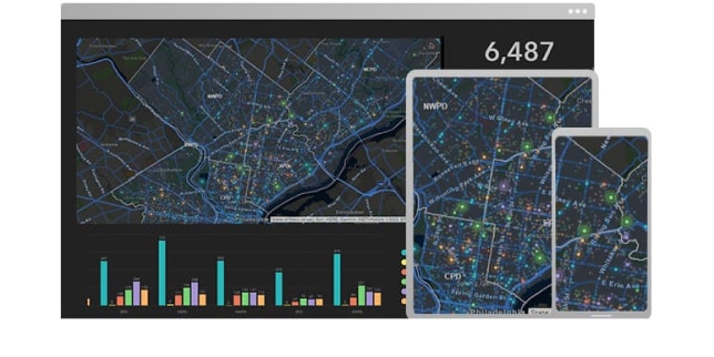
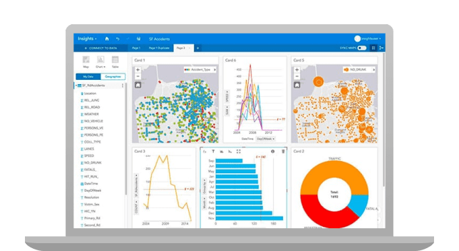
Public Safety Answering Points (PSAPs) and command and control centers around the world collect, store, analyze, and share huge volumes of data. Having visual insight into your data makes command decisions easier. Connect directly to your data and transform it to uncover patterns, trends, correlations, and relationships.
Sign up to receive the latest news, updates, and helpful tips for state and local government professionals.