Predictive analytics
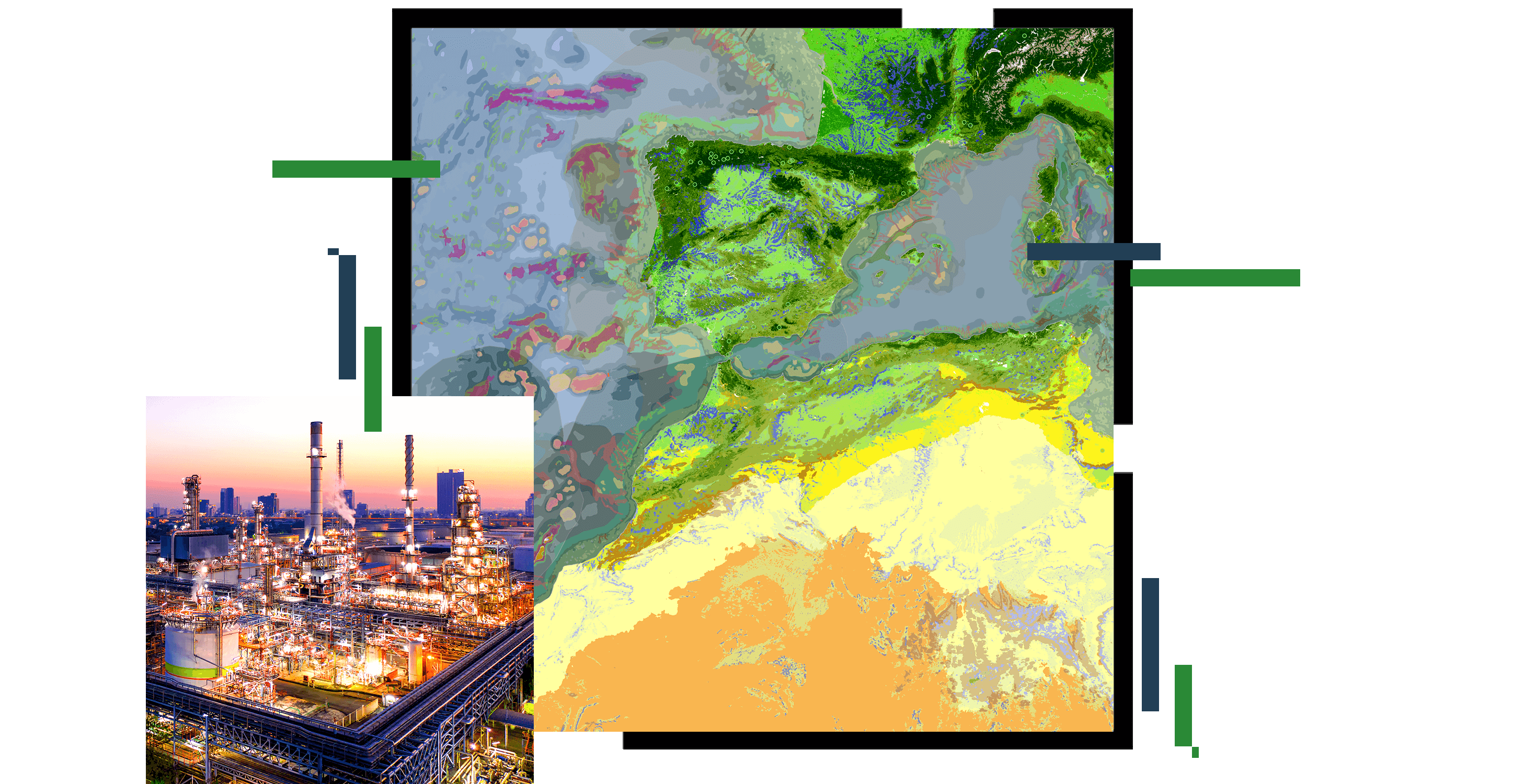
Develop corporate social responsibility, protect biodiversity and the environment, and advance net-zero commitments with proactive decisions.

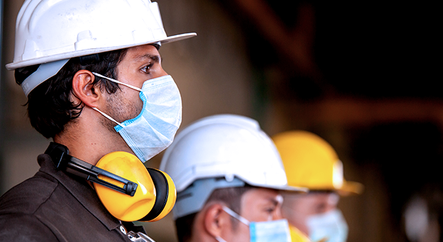
Protect people, assets, and environment
Health and safety processes generate large quantities of data. The data originates from incidents, inspections, noise and air quality monitoring, driving logs, and other sources that are often prone to error and time-consuming and costly to manage. GIS enables digital workflows to improve collection, reduce errors, and drive new analytics and insights from this data for safer, more efficient operations.

Energy companies strive to find ways to meet the public demand for low-cost energy products and maintain corporate social and environmental responsibility, including biodiversity protection. Many leading companies are realizing strategic, operational, and financial benefits by including biodiversity conservation in their decision-making, policies, and operations. GIS can help.

The number of companies publicly committing to reducing carbon emissions has become a barometer for corporate awareness about the climate change threat. Business leaders are rewriting strategies around sustainability and employing advanced technology like GIS to analyze data on how their operations contribute to greenhouse gas production and associated carbon emissions.

Whether your CSR initiatives are environmental, philanthropic, ethical, economic, or a mix of each, GIS provides a robust platform to enable your efforts. From energy transmission and emissions reporting to racial equity and any CSR effort, GIS provides a data management, analytics, and reporting communications platform to engage stakeholders internally or externally via easy-to-understand maps and reports.

Understand the risks and respond in real time. In today's complex world, emergency teams must be better informed and flexible at all points during a response effort. Successfully planning for and responding to growing threats requires agility and effective communication. Explore configurable tools for robust situational awareness, rapid impact analysis, deploying resources, and communicating with the public.

Geographic data and analytics are often common across industries. Explore how other industries and initiatives are applying Esri technology to solve complex problems. Leverage their innovation and ideas to help drive new solutions in support of the health, safety, and environment segment.

When an incident happens, Esri helps you manage the response with dashboards that provide real-time situational awareness, engagement tools to securely collaborate with your partners and the public, and mobile solutions to conduct damage assessments and debris removal.
Esri's ArcGIS equips you to better plan, execute, and report on sustainable development in any situation. Achieve goals faster with a scientifically grounded system that precisely measures growth and provides the tools to share progress with the community.
Digitally transform natural resources management for greater sustainability. Use advanced spatial analytics to uncover trends, improve understanding, and inform decision-making.
Health and human services professionals are gaining insights from location intelligence. Spatial data and GIS can underscore the opportunities to improve workflows and the ability to plan for and mitigate the impacts of unforeseen events.