Visualization
By seeing the whole picture, midstream operators can improve efficiency, prevent disruption, and gain competitive advantage.

Strengthen midstream business in real time

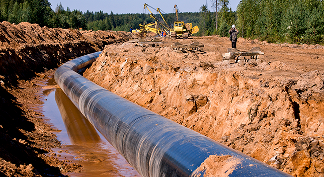
GIS goes beyond environmental planning and regulatory compliance. Get a complete view of pipeline operations with easy-to-use maps and apps that show the full oil and gas network. Accelerate inspections, routing, and compliance using user-friendly workflows and dashboards.
With the power of location intelligence, logistics and trucking can improve mobility and ensure a safe and reliable transportation system for your products. Esri's GIS technology can transform your organization into a spatial data and performance-driven firm. Use smart maps to better plan, manage, and maintain your fleets, routes, and delivery schedules.

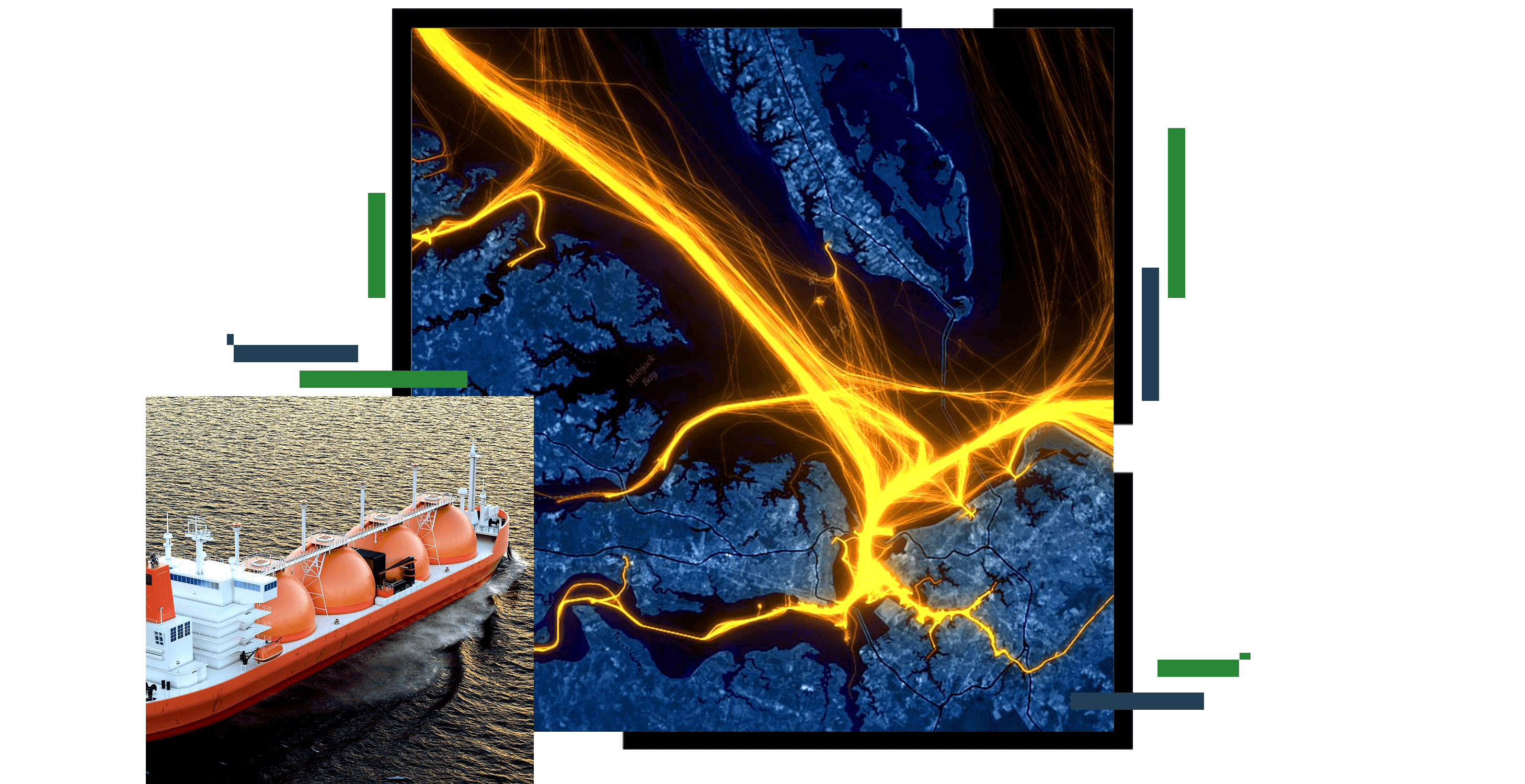
GIS enables more than just tracking and reporting of your shipping fleet. Leverage global automatic information system (AIS) data and big data analytics to identify trends and patterns others can’t. Optimize your shipping activities as well as provide real-time and predictive insights by leveraging historical data together with metocean, weather, and other contextual-based dimensions related to your customers, suppliers, or supply chain processes.

Geographic data and analytics are often common across industries. Explore how other industries and initiatives are applying Esri technology to solve complex problems. Leverage their innovation and ideas to help drive new solutions in support of the midstream segment.

ArcGIS is a comprehensive GIS for energy utilities. It provides all the elements needed to meet utility challenges and maintain key information for energy distribution mapping and analysis.
Supply chain digitization combines current business and location data in a single dashboard, giving leaders a new level of end-to-end operational awareness and analysis. By seeing the whole picture, supply chain operators can improve efficiency, prevent disruption, and gain competitive advantage.
In logistics management, being on time and meeting customer expectations are essential. Easy-to-understand digital dashboards that fuse location intelligence and all operational data provide real-time insights. Adjustments can be made in the moment, and delays minimized to stay on schedule.
Use GIS technology to give each transportation business unit the tailored information it needs, on any device, anytime, anywhere. Bring spatial intelligence to your enterprise business systems. Break down data silos and uncover deeper insight with transportation solutions for operational efficiency.