Delivering Services to a Population Growing Older
Currently the 1.9 percent growth rate for the world's older population outstrips the 1.2 rate for the world's population as a whole. This difference is expected to increase rather than diminish so that by 2025-2030, the number of persons more than 60 years old is projected to be increasing 3.5 times as rapidly as the total population. These statistics were presented in World Population Ageing 1950-2050, a report prepared by the Population Division of the United Nation's Department of Economic and Social Affairs for the 2002 World Assembly on Ageing.
The world's third most populous nation, the United States, is also one of the leading contributors in the growth of the world's elderly population. Within the United States, Florida has the highest percentage of residents 65 years or older, and its 3.5 million elderly make up the fastest growing segment of the population. In Hillsborough County, Florida, seniors make up 17.9 percent of the population. With more than 168,000 seniors, Hillsborough County actually has more citizens in the 60-and-older age group than seven states—Alaska, Wyoming, Vermont, Delaware, North Dakota, South Dakota, and Montana—and the county's elderly population is expected to increase significantly in the coming decades.
Hillsborough County's Aging Services Department provides essential social and health services to this population. Its programs encourage independence and promote the well-being of the county's elderly citizens. The department also improves the quality of life for seniors suffering from Alzheimer's disease by sponsoring events that give full-time caregivers a period of relief.
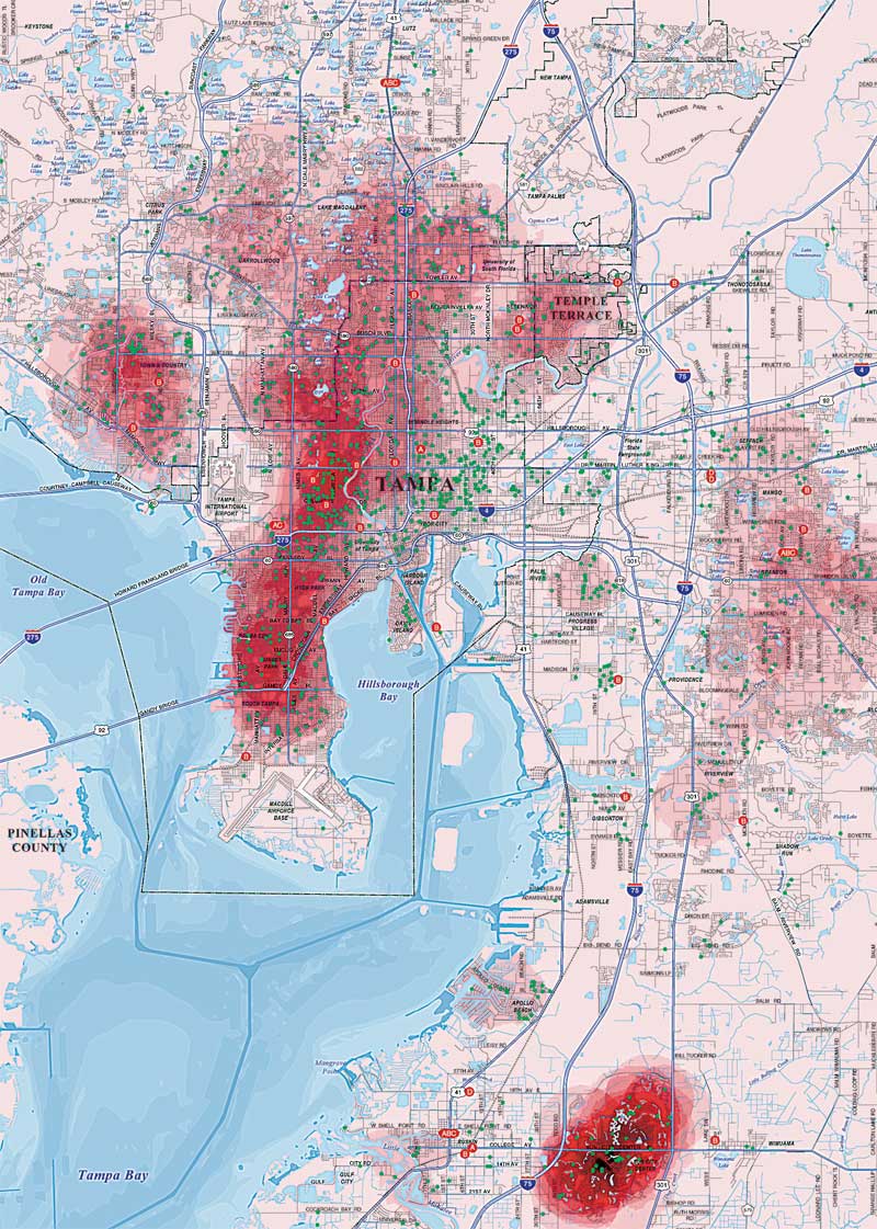
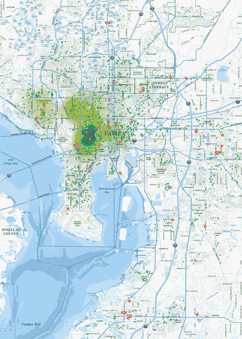
During the summer of 2002, Hillsborough County's Aging Services Department received funding to expand its service center locations. The Aging Services Department only had the addresses of program enrollees so it contracted with the GIS Section of the county's Real Estate Department to spatially locate clients so that service centers could be sited to minimize driving distances and travel time for seniors visiting the new centers.
In addition to better serving existing clients, the department recognizes the demand for services by people who will be enrolling in its program in the coming years. Using 2000 U.S. Census Bureau data with the ArcGIS Spatial Analyst extension, the GIS Section created density maps of the locations of potential clients by identifying areas where people aged 60 and over live.
With this data, the GIS Section identified several available parcels that would maximize a new center's usefulness to program enrollees. By locating the new centers on vacant, county-owned land when possible, the department further lowered costs.
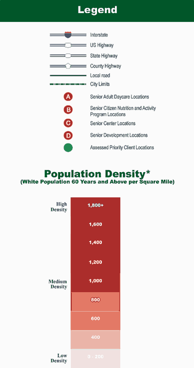
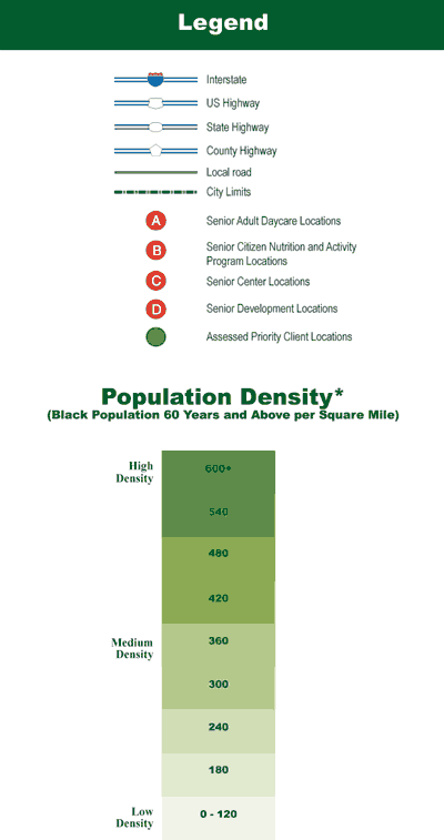
Various local data sources, ArcView 3.2, Adobe Illustrator, and MAPublisher, were also used in the creation of these maps. For more information on these maps, contact Dan Hardy, GIS analyst, at hardyd@hillsboroughcounty.org.
These are a few of the many maps, representing more than 20 disciplines, that are included in GIS—The Language of Geography, Esri Map Book, Volume 19. These maps show how GIS is contributing to improved decision making.
|