ArcUser Online
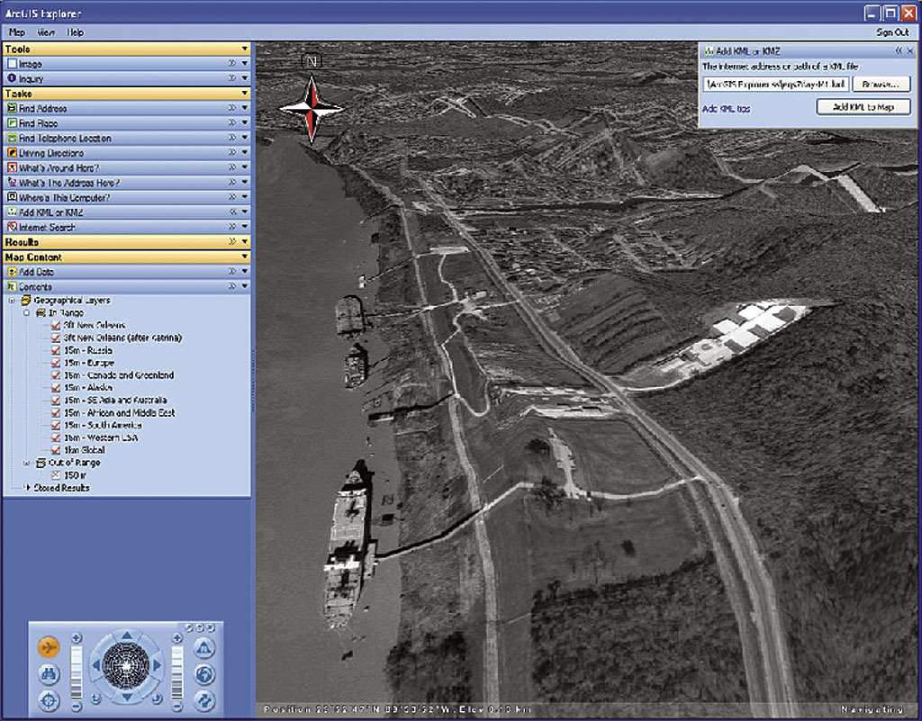
Methods of capturing and portraying geographic information have evolved through thousands of years of mapping. From stick maps that Marshall Islanders used for recording the prevailing winds to maps generated on demand and online to direct customers to stores or restaurants, maps have organized mankind's knowledge of the world. Through a geographic framework, GIS has made information more accessible and manageable. GIS capabilities have extended to platforms that include not only the desktop and local networks but also the Internet and mobile devices. GIS functionality has also grown with the development of geoprocessing and other tools for generating, modeling, and analyzing geographic data. Adherence to IT standards and creation of tools, such as the ArcGIS Data Interoperability extension, have made many more data sources available for use in GIS. Additional data sources and greater computing power have helped GIS move beyond the portrayal of two-dimensional data to two-and-one-half and three dimensions. The third dimension has added more than realism to computer games. It allows the use of more complex information for visualization and analysis and provides more intuitive ways for interacting with that data. The TerrainTable from Northrop Grumman maximizes collaboration while providing rapidly changing topographic modeling that significantly enhances situational comprehension. Its horizontal orientation lets people gather around while it virtually creates a three-dimensional model of a geographic area by modifying the table's silicon skin to form mountain ranges and valleys and display surface overlays. Three-dimensional GIS is rapidly making inroads far beyond sophisticated strategic applications such as the TerrainTable. The buzz created by Google Earth has demonstrated the impact of simple three-dimensional visualization. ArcGIS Explorer, a lightweight client for ArcGIS Server, not only provides the vividness and immediacy of three-dimensional display but also supplies geospatial data through its sample globes, three-dimensional basemaps, and the functionality packaged and delivered by its built-in Tasks. Custom Tasks tailored to specific users can be created in ArcGIS Server.
The multipatch data format, a GIS industry standard developed by Esri in 1997, is a geometry used as a boundary representation for three-dimensional objects. A collection that can be made up of triangle strips, triangle fans, triangles, or planar rings, multipatch features can be used to programmatically create three-dimensional features in ArcGIS, save existing data, and exchange data from other non-GIS three-dimensional software packages such as SketchUp. GIS users have been applying three-dimensional GIS to better see the world as it is or visualize the world as it has been or could be. Three-dimensional data can model the impact of proposed structures on aesthetics and viewsheds or analyze the functionality of telecommunications towers that require clear lines of sight. Articles in this issue illustrate how three-dimensional geographic data is used to model complex petroleum datasets, perform more effective urban planning, and help people who may never have the opportunity to visit the United States Virgin Islands National Park experience a little of the beauty of this undersea world. These articles demonstrate yet another way that mapping and GIS are being used to economically communicate information in a geographic context. |