ArcUser Online
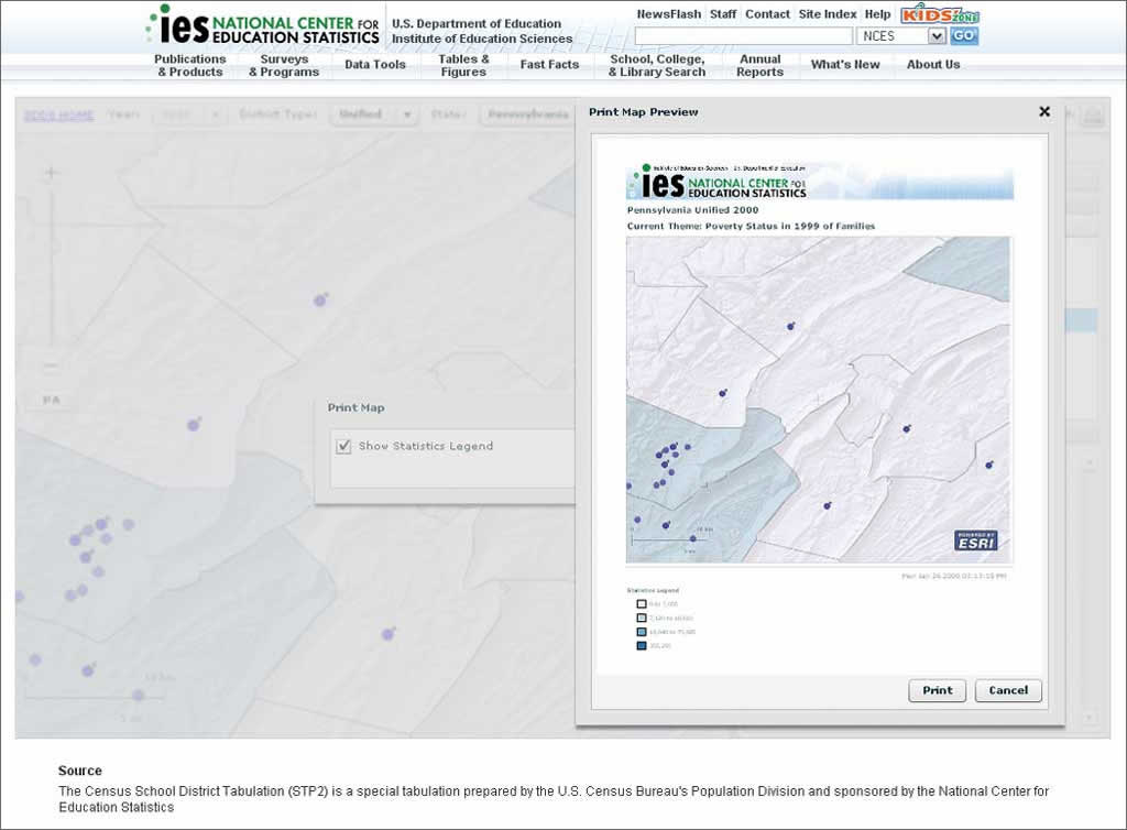
This site replaces a previous ArcIMS-based site. The new SDDS Web site supplies quicker access to more data and allows users to compare data among districts over time. Visitors to the site can view more detailed information at different scales. "ArcIMS met our needs in 2000, but we wanted to increase the speed of the site and our data uploads," said Tai Phan, program director of the Library Statistics Program at NCES. "Implementing the new technology of Adobe Flex eased customization for programmers and increased map-loading speed for end users. A huge benefit is that we can use this technology for four to five years without having to go through another customization. "The transition was smooth, and the number of hits to the site have increased each month," said Phan. "Before the transition, we averaged 21,000 hits to Map Viewer, and by November, we had 73,000 hits. The speed and features of the new mapping technology contribute to this increase." At the state level, the new site supplies choropleth maps that display demographic data such as population, housing, race, income, and education levels for each school district. At the district level, users can explore data on school district boundaries and individual schools. Users can also find data about revenue and expenditure sources that show how a school district is funded and what programs the district supports (e.g., Gifted and Talented, Bilingual Education, Vocational Education). NCES and the U.S. Census Bureau began collaborating on SDDS during the 1990 Census with the Census Mapping Project. During the decennial Census 2000, the Census Bureau provided 90 percent of the data and state governments provided the remainder to develop school district maps. This work led to a complete set of nationwide school district and demographic maps. The yearly addition of demographic data from the American Community Survey and better mapping tools have enhanced the functionality of the site. However, NCES determined it needed to better manage its geodatabase and improve the SDDS site's mapping tool, Map Viewer. Upgrading to ArcGIS Server increased the speed and flexibility of Map Viewer. Esri business partner Blue Raster LLC worked with NCES to develop the ArcGIS API for Flex version of Map Viewer. NCES will continue adding data to the site as it becomes available including the 2007 American Community Survey and the 2010 Census. The division already shares information with the Department of Homeland Security. In the future, tools that will assist police and fire stations when responding to emergencies will be added. One tool will allow first responders to quickly determine the distance to a school and the number of students and faculty that are on the campus. For more information on NCES's implementation of ArcGIS Server, contact Phan, program director, at Tai.Phan@ed.gov. To learn more about the ArcGIS API for Flex API, take the Esri free Web training seminar Building Rich Internet Applications with ArcGIS API for Flex. |