ArcUser Online
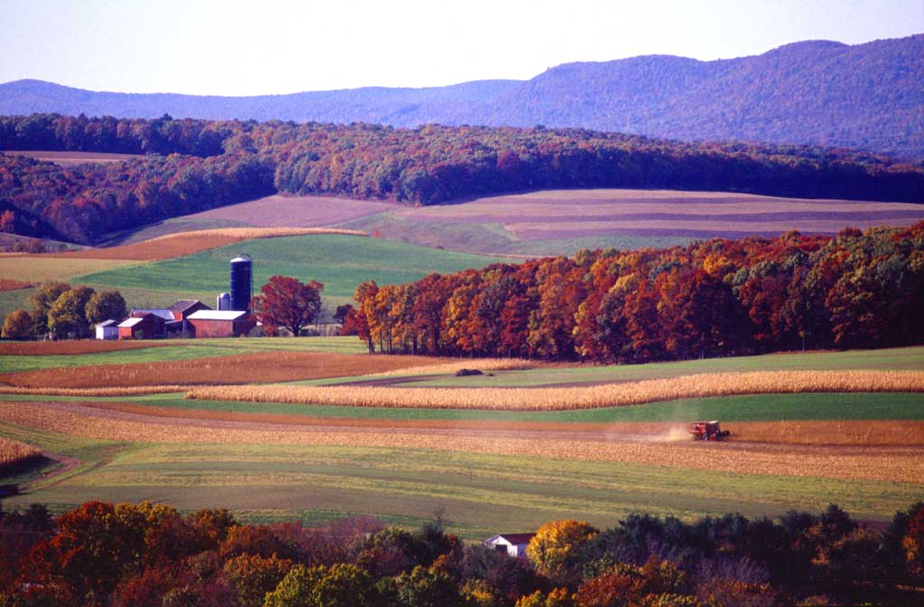
Farmland preservation is becoming a necessity in the United States, which produces the majority of the world's farmland crops. However, each year America loses more than one million acres of farmland that had been dedicated to growing the world's food supply. "In addition to providing a source of fresh food, farmland supplies habitat for wildlife, green open space, and filters for clean air and water," said Ralph Grossi, president of American Farmland Trust, a nationwide farmland conservation group. "By identifying and protecting our best agricultural land, we can safeguard the family farms and farm businesses that drive local economies." Although farms, forests, and other open lands generate less revenue per acre than land devoted to housing development, these lands require less in expenditure for infrastructure and services. When farmland is removed from production, it is a loss to the entire community. States across the United States are taking steps to protect farmlands. Agricultural easement programs allow a farm owner to permanently protect the land from nonfarm development without giving up ownership. This is usually accomplished through an agreement between the landowner and the local, state, or federal government with terms that are binding on present and future landowners. The landowner retains most rights to the land and can sell it or pass it on to heirs. However, the donated land cannot legally be used for anything other than agriculture. The State of Pennsylvania's easement program has been very successful. Since 1989, more than 1,500 farms, totaling more than 180,000 acres, have entered the program. The State continues to be an innovator in farmland preservation through its Clean and Green Program. This program protects farmland, forestland, and open space by taxing land according to its value in use rather than its market value. Tax savings provide an incentive to landowners to preserve farmland. According to Doug Wolfgang, project review specialist for the Pennsylvania Department of Agriculture, Pennsylvania has more than seven million acres enrolled in the Clean and Green Program. Counties that have GIS are able to calculate use values for individual properties faster and more efficiently and on a larger scale than counties using manual methods. Other states have programs that offer landowners similar tax incentives to farm land instead of selling it off for nonagricultural uses. The Current Agricultural Use Value (CAUV) program in Ohio is one of these programs. "The CAUV program makes it economical for farmers to engage in agriculture in Ohio; however, since Ohio has lost one-third of its farmland in the last 50 years, CAUV in itself does not preserve farmland," said Howard F. Wise, executive director of the Ohio Department of Agricultural Office of Farmland Preservation. Although it's going to take more than programs like CAUV to preserve the farmlands in Ohio, this tax incentive program is a step in the right direction. The CAUV program, created in 1973 by an amendment to the Ohio Constitution, benefits agricultural production. While enrolled in the CAUV program, farmland is taxed at its agricultural value in use rather than its market value, which is typically significantly higher. The agricultural assessment is determined by the amount of acreage of each different soil factored by a land use classification rate. For example, a 100-acre farm could have 50 acres of tillable land, 30 acres of pasture, and 20 acres of woodland. The acreage is determined for each soil type for each land use classification. Manual methods for determining these acreage amounts could include overlaying hard-copy maps and counting dots or retracing lines with a planimeter. Only the land used for agricultural purposes qualifies. Manual farmland assessment calculations can be time-consuming and subject to human error. Continued on page 2 |