Python for ArcGIS: Take the Next Step
Sign up now

Discover what’s possible with ArcGIS.

One-hour presentations with software demonstrations by Esri experts help GIS professionals stay up-to-date.
Sign up now
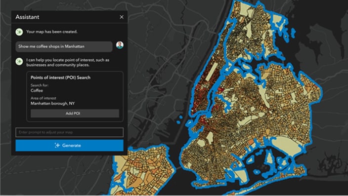
Watch the recorded session
Free, self-paced massive open online courses available to anyone and covering a broad range of topics, typically spanning four to six weeks.

Course opens August 26, 2026

Course opens September 9, 2026
Course opens September 23, 2026
Course opens October 21, 2026

Course opens January 27, 2027
Course opens February 17, 2027
Massive open online courses (MOOCs) show how to apply geospatial thinking and create data-driven insight that improves organizations, communities, and the world.
Courses range from four to six weeks and are self-paced. Have fun, explore a new topic, get hands-on practice with the latest ArcGIS software, and earn a certificate of completion.